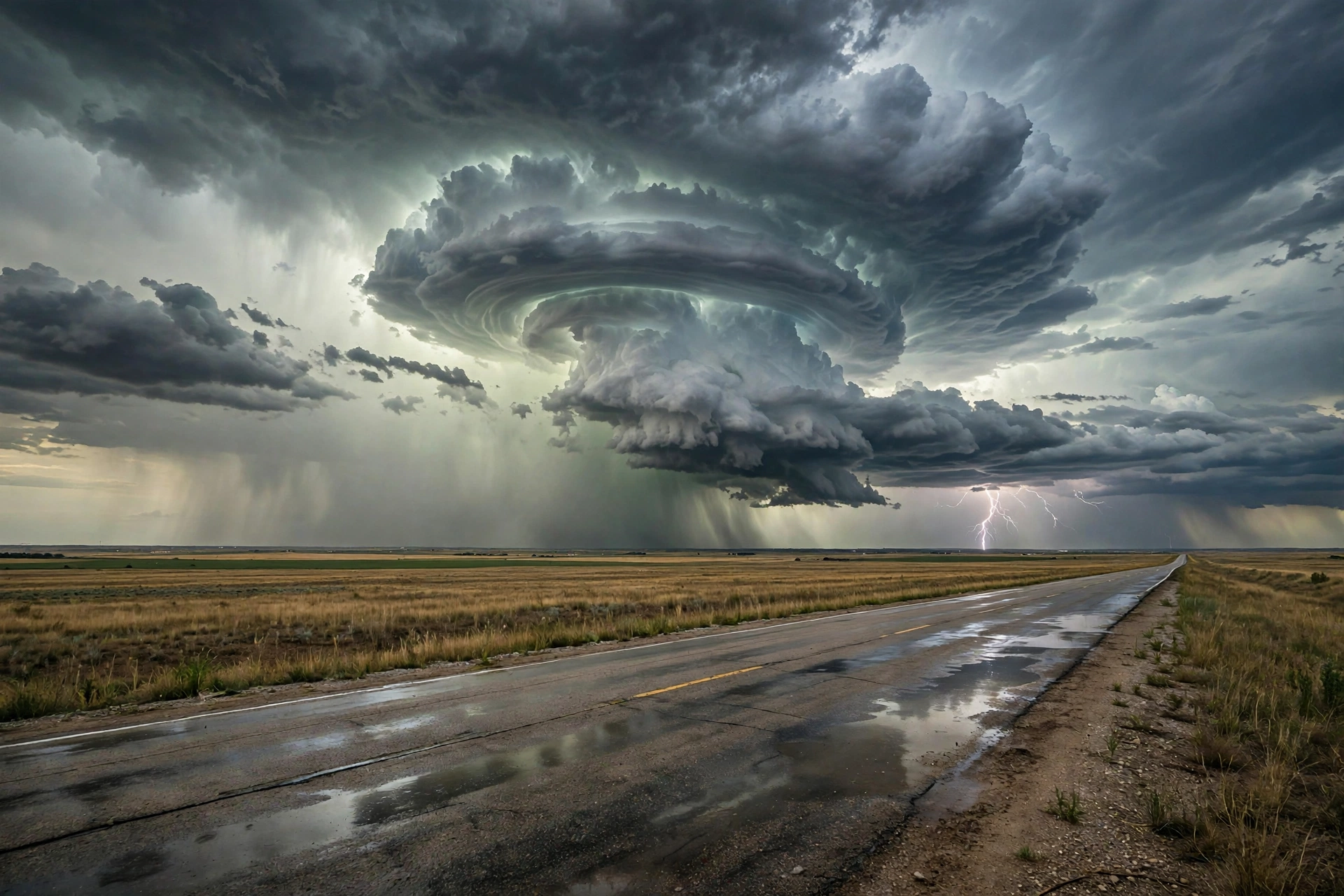
Tropical: None · Severe: Slight · Flood: Slight
What Changed
- Severe Thunderstorm Watches 682 (southern/eastern KS into west-central/northwest MO until 11 PM CDT) and 683 (western OK and eastern TX Panhandle into NW TX until Midnight CDT) remain live. Primary threats large hail to 2.5 inches and damaging winds to 75–80 mph; isolated tornado possible.
- SPC 2000 UTC Day 1 Outlook continues the Slight Risk (~80,580 sq mi) from northwest Missouri/Kansas into the southern High Plains. Minor Marginal expansion overnight into far NE OK/SE KS/SW MO for wind. Marginal holds for western/central NY.
- Preliminary LSRs now arriving: hail to 2.75 inches near Matador TX, 2.00 inches near Lipscomb TX, 1.75 inches near Matador, and multiple 1.00-inch reports in KS/OK/TX; wind gusts 58–63 mph in KS and TX Panhandle with tree limbs down.
- Active SVR Warnings continue across the Texas Panhandle (radar-indicated 2–3 inch hail, 70 mph), northwest OK, and central/eastern KS. WPC Day 1 Slight ERO and Flood Watches hold for KS/MO including Kansas City metro. No U.S. tropical watches or warnings.
- Zero change to tropical lane. Post-Tropical Isaias and residual Rachel closed for US coastal threat. Hurricane Simon remains offshore Mexico.
Live Status
As of approximately 4:20 PM PDT / 2320Z Tuesday, October 13, 2026, Severe Thunderstorm Watches 682 and 683 are active over the central and southern Plains. The SPC Day 1 Slight Risk covers widely scattered severe storms capable of large hail, severe gusts, and possibly a tornado this afternoon into tonight from the central/southern Plains into the Lower Missouri Valley. Moist boundary layer and moderate buoyancy support supercells early, transitioning to clusters with slow motions and repeating convection under a developing low-level jet. Preliminary LSRs confirm large hail and damaging wind are occurring.
Marginal Risk persists for western/central New York (MD 2367, watch unlikely) and overnight expansion into far northeast Oklahoma, southeast Kansas, and southwest Missouri. WPC Slight ERO holds; Flood Watches are active for the Kansas City metro and surrounding KS/MO counties. Multi-day unsettled weather expected through Thursday.
Hotspots
KS / NW MO — Watch 682 live
Southern/eastern Kansas and west-central/northwest Missouri under Watch 682 until 11 PM CDT, including Kansas City, Wichita, and Topeka. Threats: large hail (1–2.5 in), damaging winds (60–80 mph), isolated tornado. Concurrent Flood Watches for the Kansas City metro and east-central/southeast Kansas. Active warnings and preliminary hail/wind reports in central KS; storms organizing eastward this evening.
Western OK / eastern TX Panhandle — Watch 683 live
Western Oklahoma and eastern Texas Panhandle into northwest Texas under Watch 683 until Midnight CDT. Threats: large hail (to 2.5 in), damaging winds (to 75 mph), isolated tornado. Preliminary LSRs include 2.75-inch and 2.00-inch hail near Matador and Lipscomb TX; active warnings with radar-indicated 2–3 inch hail and 70 mph gusts. WPC Slight extends into the Permian Basin/Caprock.
Western/central NY and overnight Marginal
Marginal Risk. MD 2367 indicates scattered storms possible with gusty winds; watch unlikely due to modest instability. Overnight Marginal expansion over far NE OK/SE KS/SW MO for potential organized wind gusts.
Just Hit
Preliminary SPC Local Storm Reports for the convective day include hail to 2.75 inches (1 NE Matador, Motley TX), 2.00 inches (8 E Lipscomb, Lipscomb TX), 1.75 inches near Matador, and multiple 1.00-inch reports in KS, OK, and TX. Wind reports include 63 mph (3 NNW McAdoo, Dickens TX), 59 mph near Topeka KS and White River Lake TX, and tree limbs down near Hazelton KS. Radar-indicated larger hail and 70 mph gusts remain under active warnings. Residual minor Flood Warnings elsewhere are non-severe leftovers.
Pulse Table
| Region | Main threats | SPC / NWS / WPC level | Status this afternoon |
|---|---|---|---|
| KS / NW MO | Large hail (1–2.5″), damaging wind (60–80 mph), isolated tornado, heavy rain | SPC Slight; Watch 682 until 11 PM CDT; WPC Slight; Flood Watches (KC metro) | Live; Watch 682 active; preliminary LSRs and warnings in central KS |
| Western OK / eastern TX Panhandle into NW TX | Large hail (to 2.75″), damaging wind (to 75 mph), isolated tornado, heavy rain | SPC Slight/Marginal; Watch 683 until Midnight CDT; WPC Slight | Live; Watch 683 active; 2.75″ hail LSR near Matador TX |
| Overnight Marginal / western-central NY | Isolated severe gusts, localized wind | SPC Marginal; MD 2367 Watch unlikely | Isolated possible; limited NY coverage |
| CONUS watches / outlook | Severe storms | SPC Slight; Watches 682 + 683 live; LSRs arriving | Two watches active; short-fuse warnings and preliminary reports ongoing |
Restoration Read
Slight Risk severe is under live Watches 682 and 683, with preliminary LSRs confirming large hail (to 2.75 inches) and damaging wind across the Texas Panhandle and central Kansas. Teams for Kansas City, Wichita, Topeka, Amarillo, and Lubbock corridors should stage for tree, roof, and exterior damage from hail and gusts. Concurrent Flood Slight and Flood Watches make water co-equal; monitor low-lying areas and urban runoff. No tropical tickets. Confirm products on weather.gov and re-check warnings as storms mature.
What This Is Not
Not an official warning. Not Enhanced or higher severe. Not Moderate or higher excessive rainfall. Not a U.S. tropical threat. Not a reason to invent tornadoes or widespread damage beyond preliminary reports. Slight is the official category; Watches 682 and 683 confirm the threat is underway. Reports are preliminary and can change.
Looking Ahead One Day
SPC Day 2 places a Slight Risk over the southern Plains into the Ozark Plateau (mainly damaging winds, isolated hail and a tornado or two) and Marginal elsewhere for Wednesday. Multi-day heavy rain potential continues into the Plains/Missouri Valley. Cooler air later in the week.
Rising Queries
Trends unreachable this run.
Storm Hub
No named storm threatening U.S. land. Prior residual hubs: Hurricane Isaias 2026 and Tropical Storm Rachel 2026. No new hub created.
Sources
Primary: spc.noaa.gov (Day 1 outlook 2000 UTC, MDs, Watches 682 and 683, today’s LSRs), WPC Day 1 ERO, NWS watches/warnings summary, nhc.noaa.gov (no U.S. tropical threats). Morning desk: Storm Updates: Plains Slight — Oct 13 Morning.
Informational only — not an official weather warning. Confirm local products on weather.gov before travel or work. Watches and warnings expire and are replaced. Preliminary reports can change.
Leave a Reply