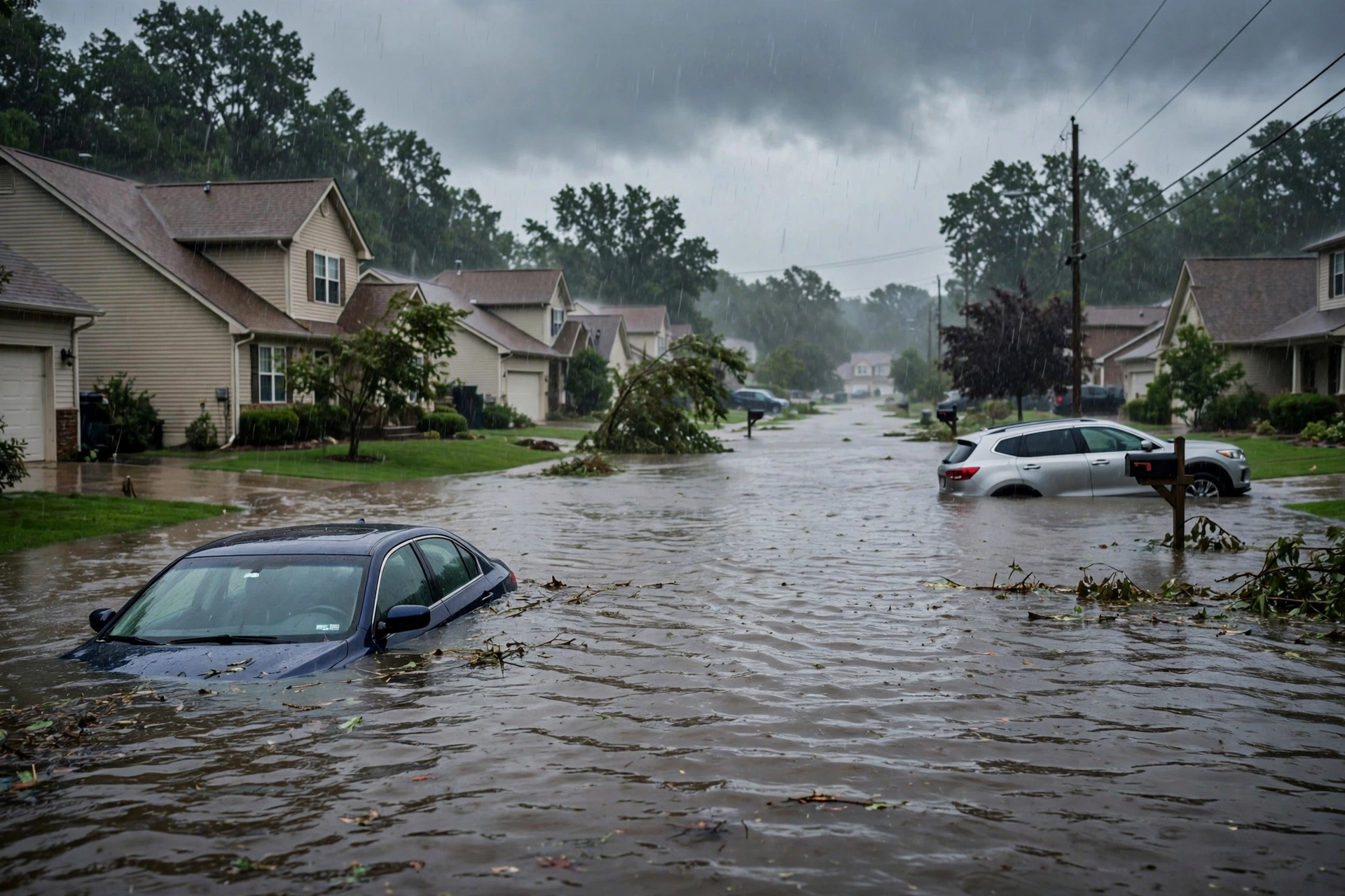
As of the morning desk on Friday, October 30, 2026 (updated approximately 7:15 PM PDT / 02:15 UTC October 31), the national picture remains a Quiet Pulse. The Storm Prediction Center’s latest Day 1 Convective Outlook (0100 UTC update issued 0733 PM CDT October 30, valid 310100Z–311200Z) holds a Marginal Risk of severe thunderstorms across parts of southern and central Arizona. The Weather Prediction Center Day 1 Excessive Rainfall Outlook maintains a Slight Risk for portions of west and central Texas and southeastern New Mexico. No tropical storm or hurricane watch or warning is in effect on the U.S. coast or Gulf.
Tropical: None · Severe: Marginal · Flood: Slight
What Changed
- Compared with the previous desk pulse table (quiet-pulse-2026-10-29-afternoon: Tropical: None · Severe: Marginal · Flood: Slight): SPC Day 1 Marginal Risk has shifted from central and northeast Kansas (~19,351 sq mi) and southwest Texas to southern and central Arizona (~40,612 sq mi, ~5.5 million people including Phoenix, Tucson, Mesa, Glendale, Chandler). Primary threats are isolated severe wind gusts and hail this evening. No convective watches currently valid.
- WPC Day 1 ERO continues a Slight Risk for west and central Texas and southeastern New Mexico from residual Vance moisture. Active Flash Flood Warnings remain in effect for portions of west Texas (Howard, Mitchell, Scurry, Dawson, Gaines Counties), with 1–2 inches already fallen and flooding ongoing. Marginal Risk persists near the MO/KS/IA/NE border. Flood lane remains Slight.
- No named tropical cyclone threatens or has just hit U.S. land. Atlantic basin remains quiet with no formation expected in the next 7 days. Remnants of Vance have dissipated; residual moisture supports the Southwest rainfall threat. No coastal or Gulf watches or warnings.
- Residual High Wind Warnings and Winter Storm Warnings remain active in portions of Alaska. Special Marine Warnings were issued along the Texas coast for waterspouts. Flash Flood Warnings also noted in Maricopa County, Arizona. These do not alter the national Slight flood or Marginal severe lanes.
- Severe lane holds at Marginal with a geographic shift to Arizona. Flood lane remains Slight with verified ongoing flash flooding in west Texas. Quiet Pulse criteria hold: nothing at SPC Slight or above, no WPC ERO Moderate or above, no U.S. tropical watch or warning.
Live Status
SPC Day 1 (issued 0733 PM CDT October 30, 2026) lists a Marginal Risk (Level 1 of 5) of severe thunderstorms across parts of southern and central Arizona. A shortwave trough over the Desert Southwest is supporting convective development along a surface trough, with MLCAPE estimated at 1000–1200 J/kg and 0–6 km shear around 30 knots. Isolated severe wind gusts and hail are the primary threats over the next few hours. No current watches or mesoscale discussions active as of the latest scan.
WPC Day 1 ERO places a Slight Risk of excessive rainfall for portions of west and central Texas and southeastern New Mexico. Hourly rain amounts of up to 2 inches are possible with cell mergers or training, and local totals of 5 inches near the TX/MX border. Elevated PWATs of 1.5–2 inches from residual Vance moisture support the threat. Active Flash Flood Warnings confirm ongoing impacts in west Texas counties. Flood Watches have been in effect for central Arizona.
NWS has residual Flood Warnings on some river systems from prior rainfall and localized coastal flood advisories (e.g., Florida Keys). High Wind Warnings and Winter Storm Warnings continue in Alaska. Special Marine Warnings have been issued for waters along the Texas coast capable of producing waterspouts and gusts to 40 knots. Flash Flood Warnings active in Maricopa, AZ.
Hotspots
- West and central Texas / southeastern New Mexico: Slight Risk excessive rainfall continuing into the evening. Active Flash Flood Warnings in Howard, Mitchell, Scurry, Dawson, and Gaines Counties with 1–2 inches already observed and flooding ongoing. Dominant flood lane. Urban areas, highways, and low-lying terrain most vulnerable.
- Southern and central Arizona: Marginal Risk for isolated severe wind gusts and hail this evening. Population centers include Phoenix and Tucson. Shortwave trough and surface trough providing lift and shear. Primary short-term severe focus. Flood Watches earlier in the day for central Arizona.
- Residual river and coastal flooding plus Alaska: Ongoing Flood Warnings on residual river systems in Florida and New Mexico. High Wind Warnings (gusts to 70–80 mph) and Winter Storm Warning (7–15 inches snow) in Alaska. Not drivers of the national Slight or Marginal lanes.
Pulse Table
| Lane | Status | Notes (as of ~7:15 PM PDT / 02:15 UTC Oct 31 2026) |
|---|---|---|
| Tropical | None | No tropical cyclones in the Atlantic. Remnants of Vance dissipated; no U.S. land threat. No coastal or Gulf watches or warnings. |
| Severe | Marginal | SPC Day 1 Marginal Risk (~40.6k sq mi, ~5.5M people) for southern/central Arizona (isolated wind/hail). No active watches. |
| Flood | Slight | WPC Day 1 ERO Slight Risk west/central TX and SE NM. Active FFWs in west Texas counties. Residual river Flood Warnings continue. Flood Watches in AZ earlier. |
Restoration Read
Quiet Pulse with an elevated flood lane. Primary short-term ticket is flash flooding and rapid runoff in west and central Texas and southeastern New Mexico under the Slight Risk, with verified ongoing impacts in multiple west Texas counties. Isolated severe wind and hail potential in southern and central Arizona this evening. Residual river stage concerns on Flood Warnings in Florida and New Mexico. No organized widespread damage expected. Monitor for water intrusion, debris, and road closures. Turn around, don’t drown.
What This Is Not
This is a Quiet Pulse. No SPC Slight or higher severe risk on the latest Day 1 outlook. No WPC Moderate or higher excessive rainfall. No tropical storm or hurricane watch or warning on the U.S. coast or Gulf of America. This desk summarizes public products from the SPC, WPC, NWS, and NHC.
Looking Ahead
SPC Day 2 outlook shows no severe areas forecast. Residual moisture from Vance continues to support showers and thunderstorms across the Southwest into the weekend. Halloween weekend looks unsettled with additional rainfall possible across Arizona and the southern Plains, but no elevated severe or flood lanes open beyond current products yet. Monitor for any overnight updates to Flash Flood Warnings in Texas and Arizona.
Rising Queries
Trends unreachable.
Sources
- Storm Prediction Center (Day 1 Outlook 0100Z Oct 31, issued 0733 PM CDT Oct 30)
- Weather Prediction Center (Day 1 ERO, Slight Risk TX/NM)
- National Weather Service (watches, warnings, Flash Flood Warnings in west Texas and Maricopa AZ, residual Flood Warnings)
- National Hurricane Center (Atlantic quiet; remnants of Vance)
- Previous desk: quiet-pulse-2026-10-29-afternoon
Informational only — not an official weather warning. Always check weather.gov for local forecasts and warnings. Turn around, don’t drown.
Get The Signal
What we actually ran, what it measured, and what it means for a restoration shop — every week, including the flops.
Leave a Reply