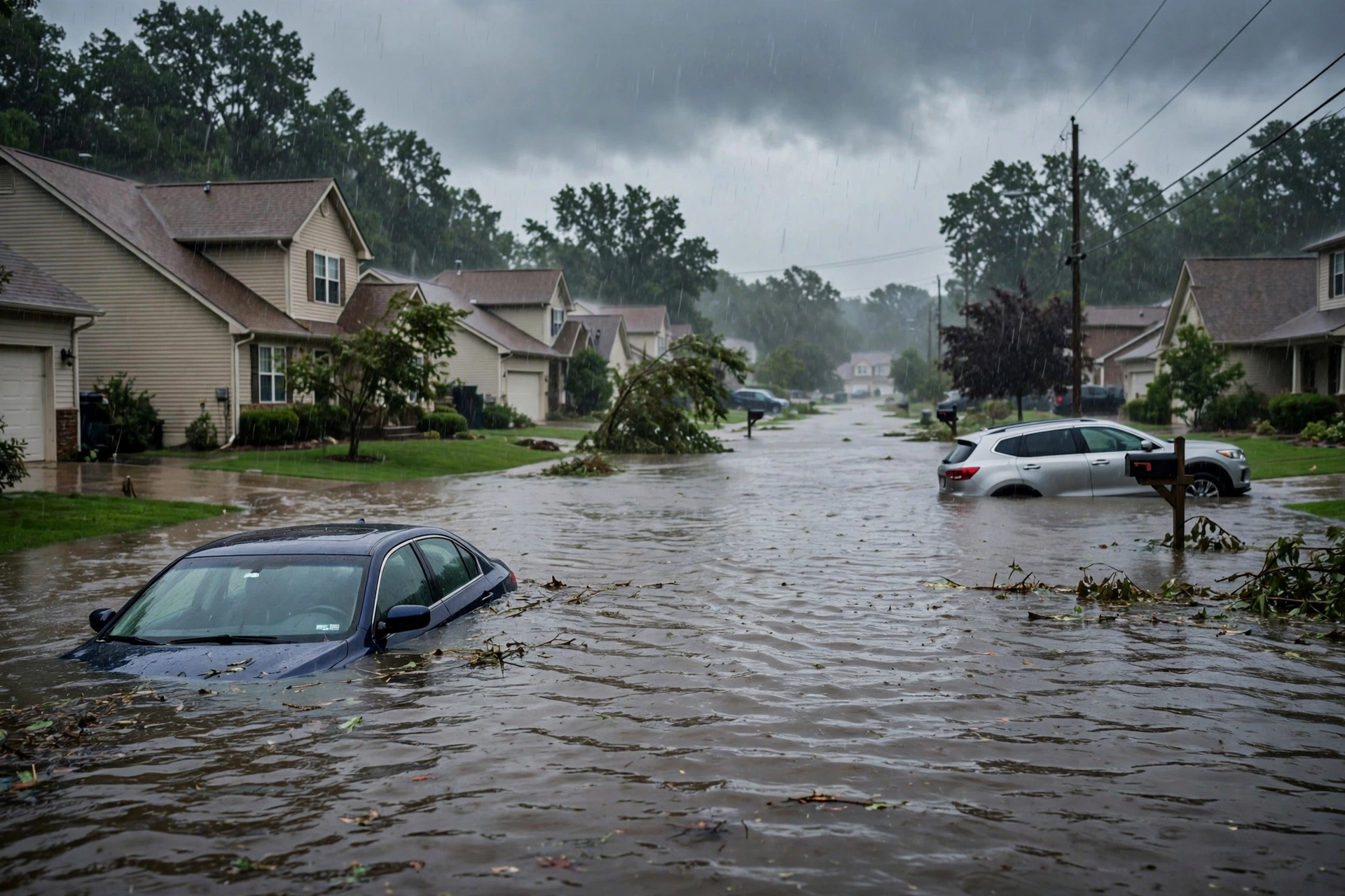
As of this Sunday evening update to the morning desk, October 25, 2026 (approximately 9:12 PM PDT / 0412Z October 26), the national picture remains a Quiet Pulse. The Storm Prediction Center holds a Marginal Risk of severe thunderstorms across portions of eastern New Mexico into Far West Texas on the latest Day 1 Convective Outlook (0100 UTC October 26 update, valid through 1200Z October 26). Isolated large hail, damaging wind gusts, and a tornado or two remain possible this evening and overnight. No convective watches are currently valid. The Weather Prediction Center holds a Slight Risk of excessive rainfall over portions of the central and southern High Plains. No tropical storm or hurricane watch or warning is in effect on the U.S. coast or Gulf of America.
Tropical: None · Severe: Marginal · Flood: Slight
What Changed
- Compared with the earlier version of this morning desk: SPC Day 1 (0100Z October 26 / 7:44 PM CDT) continues a MARGINAL RISK of severe thunderstorms across portions of eastern New Mexico and Far West Texas (approx. 56,500 sq mi, 1.1 million people including Roswell, Alamogordo, Clovis, Carlsbad). Area has contracted from the earlier 2000Z update. Isolated large hail, damaging gusts, and a tornado or two possible this evening/night. No active watches (Watch 697 expired). Threat remains isolated.
- WPC Day 1 Excessive Rainfall Outlook (updated ~0103 UTC October 26) holds a SLIGHT RISK for portions of the central and southern High Plains (Far West Texas through the Panhandle into southwestern Kansas). Marginal Risk remains along the southeast Florida coast after the Slight was removed. No Moderate or above.
- Overnight local NWS Flash Flood Warnings were issued for portions of Eddy County in New Mexico and Hudspeth/El Paso Counties in Texas with radar-indicated heavy rain. Flood sensitivity remains elevated on saturated soils from multi-day rainfall.
- No tropical storm or hurricane watch or warning on the U.S. coast or Gulf of America. Atlantic basin quiet. Tropical Storm Vance (Eastern Pacific) and Tropical Storm Olana (Central Pacific) pose no U.S. land threat.
- Nothing elevated any lane beyond Quiet Pulse criteria. Severe remains Marginal, flood remains Slight, tropical remains None. Primary residual ticket is isolated hail/wind and flash-flood runoff across New Mexico and far west Texas.
Live Status
SPC Day 1 lists a Marginal Risk (Level 1 of 5) of severe thunderstorms for eastern New Mexico into Far West Texas. Isolated strong to severe thunderstorms remain possible this evening and into the night. Primary threats are large hail and damaging wind gusts, with a tornado or two possible along a reinforced baroclinic zone. Greater buoyancy supports stronger cells under 35-50 kt shear south of the boundary. No convective watches are active. Mesoscale discussions note watch issuance unlikely.
WPC maintains the Slight Risk of excessive rainfall over the central and southern High Plains. Favorable upper jet and mid-level forcing with persistent southerly inflow support moderate to heavy rain and training storms, with additional 1-2 inch amounts possible. Eastern Marginal extent was pulled westward. Southeast Florida carries a Marginal Risk after the Slight was dropped; showers remain progressive. No Moderate or higher ERO.
NWS offices issued Flash Flood Warnings overnight for western Texas and southeastern New Mexico. Flood Watches may continue where multi-day rainfall has left soils saturated. Winter Storm Warnings remain in effect for portions of Alaska, but these do not affect the CONUS Quiet Pulse.
Hotspots
- Eastern New Mexico into Far West Texas (Roswell, Carlsbad, Alamogordo, Clovis corridor): Marginal severe residual and WPC Slight. Isolated hail, wind, and brief tornado possible this evening. Recent Flash Flood Warnings. Elevated runoff risk on saturated soils.
- Southeast Florida: WPC Marginal Risk for excessive rainfall. Onshore flow supports isolated heavy showers. Urban flash-flood potential limited.
Just-Hit
Overnight Flash Flood Warnings for portions of Eddy County NM (Carlsbad Caverns area) and Hudspeth/El Paso Counties TX with 0.5-2 inches radar-indicated. Localized flooding of roads, arroyos, and low-lying areas. No confirmed significant tornado reports. Isolated severe and flood impacts continue in the Southwest.
Pulse Table
| Lane | Status | Notes (as of ~0412Z Oct 26 2026 / 9:12 PM PDT Oct 25) |
|---|---|---|
| Tropical | None | No tropical cyclones in the Atlantic. TS Vance (EPAC) and TS Olana (CPAC) pose no U.S. land threat. No coastal or Gulf watches or warnings. |
| Severe | Marginal | SPC Day 1 (0100Z) Marginal Risk over eastern NM into Far West TX. No active watches. Isolated hail/wind/tornado possible this evening/night. |
| Flood | Slight | WPC Day 1 Slight Risk for central/southern High Plains. Marginal for SE Florida. Recent FFWs in TX/NM. Saturated soils. No Moderate or higher. |
Restoration Read
Residual restoration ticket is isolated hail and wind damage to roofs, vehicles, siding, and trees across eastern New Mexico and far west Texas under the Marginal Risk. Secondary ticket is localized flash flooding and rapid runoff in urban corridors, small streams, canyons, and burn scars on already saturated soils. No widespread catastrophic damage expected.
What This Is Not
This is a Quiet Pulse. No SPC Slight or higher severe risk on the latest Day 1 outlook. No WPC Moderate or higher excessive rainfall. No tropical storm or hurricane watch or warning on the U.S. coast or Gulf of America. This desk summarizes public products from the SPC, WPC, NWS, and NHC. It is not an official warning.
Looking Ahead
Monday (Day 2): SPC shows no severe risk area. WPC Day 1 threat winds down overnight into early Monday. Residual flash-flood sensitivity remains where soils are saturated. Monitor local NWS offices for any lingering warnings.
Rising Queries
Trends unreachable.
Sources
Official products: Storm Prediction Center (Day 1 Outlook 0100Z Oct 26), Weather Prediction Center (Day 1 Excessive Rainfall Outlook), National Weather Service (watches, warnings), National Hurricane Center (Atlantic quiet). Previous version of this desk: quiet-pulse-2026-10-25-morning.
Informational only — not an official weather warning. Always check weather.gov for local forecasts and warnings. Turn around, don’t drown.
Get The Signal
What we actually ran, what it measured, and what it means for a restoration shop — every week, including the flops.
Leave a Reply