Tropical: None · Severe: None · Flood: Quiet
What Changed
- SPC Day 1 Convective Outlook (0100 UTC Nov 14 / 0635 PM CST Fri Nov 13 2026 by Leitman, valid 140100Z–141200Z) continues NO SEVERE THUNDERSTORM AREAS FORECAST. Summary: Organized severe thunderstorms are not expected across the U.S. tonight. No material change from the November 13 afternoon pulse table (quiet-pulse-2026-11-13-afternoon). No convective watches valid.
- WPC Day 1 Excessive Rainfall Outlook (latest updates through evening Nov 13) continues to show the probability of rainfall exceeding flash flood guidance less than 5 percent nationally or residual Marginal only. No Moderate or above. National flood lane remains Quiet. No change from afternoon desk.
- NHC Atlantic and Eastern Pacific Tropical Weather Outlooks (as of evening Nov 13 / early Nov 14 UTC): Tropical cyclone formation is not expected during the next 7 days. No tropical cyclones in the Atlantic, Caribbean, Gulf of America, Eastern Pacific, or Central Pacific. No tropical storm or hurricane watch or warning on the U.S. coast or Gulf. No change.
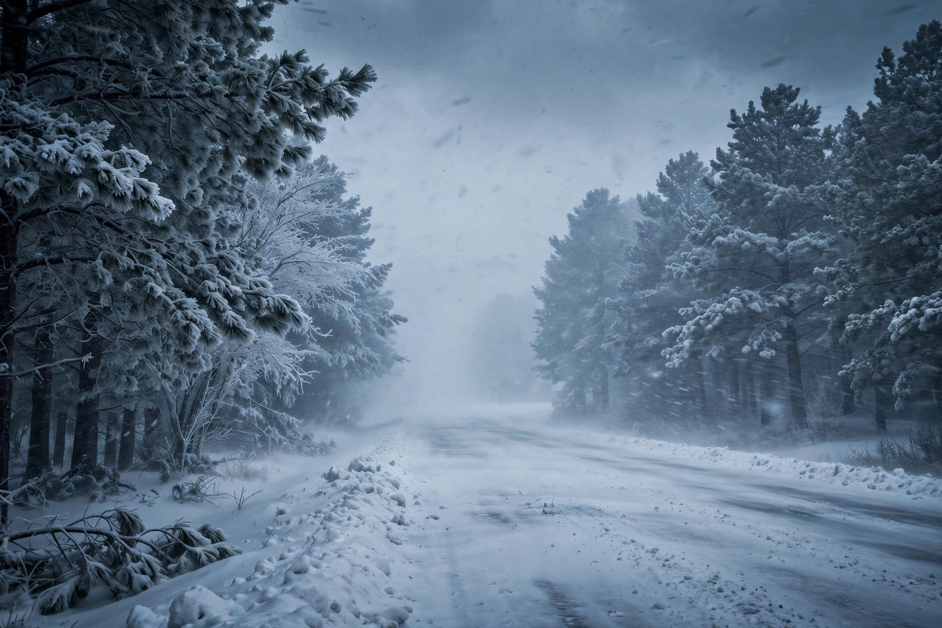
- Winter Storm Warnings remain in effect for the Sierra Nevada (California and Nevada) for heavy snow Friday into Saturday. Blizzard Warnings continue along the northern Alaska Arctic coast through Sunday. Residual high surf and freeze products elsewhere are local. Nothing moved into Slight or higher on SPC or Moderate or higher on WPC ERO.
Live Status
As of the morning desk on Saturday, November 14, 2026 (approximately 8:15 PM PST Friday / 11:15 PM EST Friday / 0415Z Saturday), the national picture remains a Quiet Pulse. The Storm Prediction Center’s latest Day 1 Convective Outlook holds no severe thunderstorm areas through early Saturday. Isolated to scattered non-severe thunderstorms may continue overnight from the Four Corners into southwest Texas and along northern California and Oregon coasts, but weak instability and increasing boundary-layer inhibition preclude organized severe potential. Day 2 Outlook (valid Saturday) also holds no severe areas; Day 3 shows a Marginal Risk across the Texas coastal plain for Sunday.
WPC Day 1 Excessive Rainfall Outlook remains below the Moderate threshold nationally. Earlier Marginal risk areas associated with the California front have largely closed or remain low-end. No active national elevated flood products of concern beyond local winter-driven runoff. No named tropical cyclone threatens or has just hit the U.S. coast or Gulf of America.
Hotspots
Sierra Nevada / California-Nevada: Winter Storm Warnings remain in effect for heavy snow above roughly 6,000 feet through early Saturday, with potential for 6–18 inches along the crest and locally higher. Travel on I-80, US-50 and other mountain routes may be difficult with chain controls and reduced visibility possible. Winds gusting 45–60 mph or higher on ridges.
Northern Alaska Arctic Coast: Blizzard Warnings continue through Sunday morning with additional light snow and winds gusting 45–60 mph. Travel should be restricted to emergencies. Heavy freezing spray and gale conditions affect adjacent waters.
These remain local winter and marine products. They do not open a national severe or excessive rainfall lane.
Pulse Table
| Lane | Status | Notes (as of ~0415Z Nov 14 / 8:15 PM PST Nov 13 2026) |
|---|---|---|
| Tropical | None | No TC in Atlantic, Caribbean, Gulf of America, EPAC, or CPAC. NHC formation not expected next 7 days. No U.S. coastal or Gulf watches or warnings. |
| Severe | None | SPC Day 1 (0100Z Nov 14): NO SEVERE THUNDERSTORM AREAS FORECAST. Isolated non-severe storms possible Four Corners to SW TX and northern CA/OR coasts. No watches valid. Day 2 also no severe; Day 3 Marginal TX coastal plain. |
| Flood | Quiet | WPC Day 1 ERO: probability of exceeding flash flood guidance less than 5% nationally or residual Marginal only. No Moderate or above. No active national elevated flood products. |
Rising queries
Trends unreachable.
Informational only — not an official warning. Always refer to official NWS, SPC, WPC, and NHC products for the latest information.
Get The Signal
What we actually ran, what it measured, and what it means for a restoration shop — every week, including the flops.
Leave a Reply