Tropical: None · Severe: Marginal · Flood: Slight
What Changed
- Compared with the November 2 afternoon desk pulse table (quiet-pulse-2026-11-02-afternoon: Tropical: None · Severe: Slight · Flood: Slight): SPC Day 1 has dropped from Slight Risk across the southern and central Plains to a Marginal Risk from the Lower Mississippi/Tennessee Valleys into the Mid Mississippi Valley. Overnight tornado watches over KS/OK/TX expired. No current convective watches as of late evening UTC November 3 / early November 4.
- WPC Day 1 Excessive Rainfall Outlook (latest discussion 808 PM EST Tue Nov 3 / ~0058 UTC Wed Nov 4) maintains a Slight Risk from portions of central Mississippi into central Tennessee and over parts of Southeast Florida. Residual flood warnings continue in Florida and Arizona.
- Tropical lane remains None. National Hurricane Center confirms no tropical cyclones in the Atlantic, Caribbean, or Gulf. A western Atlantic disturbance has low (10% in 48 hours, 30% in 7 days) chance of subtropical development; no U.S. coastal or Gulf watches or warnings. No named storm.
- Active Flash Flood Warning remains for northern Broward County, Florida (issued 857 PM EST Nov 3), and Flash Flood Warning extended for Havasu Creek basin, Arizona. No Slight or higher SPC risk, no Moderate or higher WPC ERO. Quiet Pulse criteria hold.
- Nothing moved into Slight or higher on SPC or Moderate or higher on WPC ERO. Isolated severe potential remains marginal this evening and tonight.
Live Status
As of the morning desk on Tuesday, November 3, 2026 (evening confirmation ~9:14 PM PST / 05:14 UTC November 4), the national picture is a Quiet Pulse. The Storm Prediction Center’s latest Day 1 Convective Outlook (0100 UTC November 4 cycle, issued 0637 PM CST Tue Nov 3) states: “THERE IS A MARGINAL RISK OF SEVERE THUNDERSTORMS ACROSS PARTS OF THE LOWER TO MID MISSISSIPPI VALLEY.” Thunderstorms with potential for isolated severe wind gusts and perhaps a brief tornado remain possible this evening and tonight across the lower to mid Mississippi Valley. Prior Plains Slight Risk has closed.
The Weather Prediction Center Day 1 Excessive Rainfall Outlook maintains a Slight Risk of excessive rainfall across portions of Mississippi and Tennessee and over parts of Southeast Florida. Convection is generally progressive, but low-level jet and moisture transport may support some training overnight over central MS into central TN, keeping a lower-end Slight risk. Southeast Florida has a conditional flash flood risk along the urban corridor. No Moderate or higher risk.
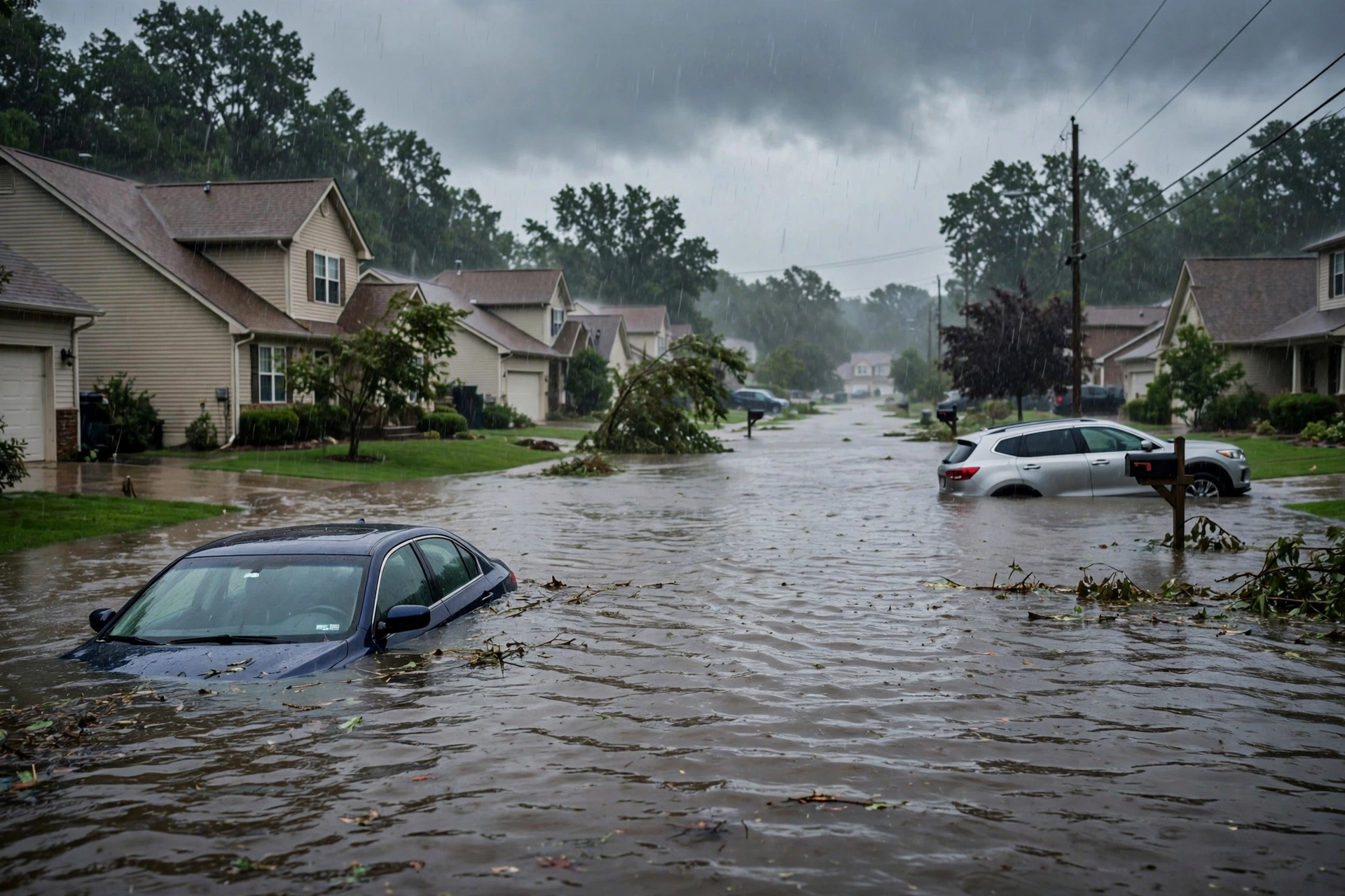
National Weather Service watches and warnings include an active Flash Flood Warning for northern Broward County in southeastern Florida until 1100 PM EST (radar-indicated heavy rain, 2-3 inches already fallen, additional 1-2 inches possible), and an extended Flash Flood Warning for the Havasu Creek basin in Coconino County, Arizona (river gauge rise). Additional Flood Warnings persist across Florida, Iowa, Kansas, Louisiana, Missouri, Nebraska, New Mexico, and Utah. No severe thunderstorm or tornado watches are currently in effect. No tropical cyclone products threaten the U.S. coast or Gulf of America.
Pulse Table
| Lane | Status | Notes (as of ~9:14 PM PST / 05:14 UTC Nov 4 2026) |
|---|---|---|
| Tropical | None | No tropical cyclones in the Atlantic, Caribbean, or Gulf. NHC: low chance (10% 48h / 30% 7d) of subtropical development for western Atlantic disturbance south of Bermuda; no U.S. coastal or Gulf watches or warnings. |
| Severe | Marginal | SPC Day 1 (0100Z Nov 4): MARGINAL RISK Lower to Mid MS Valley. Isolated severe wind and brief tornado potential this evening/tonight. No active watches. Prior Plains Slight closed. |
| Flood | Slight | WPC Day 1 ERO Slight Risk portions of MS/TN and SE Florida. Active FFW northern Broward FL and Havasu Creek AZ. Residual river flooding continues. No Moderate or higher. |
Rising Queries
Trends unreachable this run. Related interest centers on Florida flooding, Election Day weather, Mississippi Valley storms, and flash flood Florida.
Restoration Read
Quiet Pulse with an elevated residual flood lane. Primary short-term ticket is localized flash flooding and rapid runoff in northern Broward County, Florida, and residual water over the Lower Mississippi to Tennessee Valleys under the Slight Risk, on already saturated soils especially along the Florida east coast. Isolated severe wind and brief tornado potential under the Marginal Risk over the Mississippi Valley through tonight. Overnight Plains severe reports have closed. No tropical restoration drivers.
Disclaimer: Informational only — not an official warning. This is a summary of official public products from the Storm Prediction Center, Weather Prediction Center, National Weather Service, and National Hurricane Center. Always consult the latest official forecasts and warnings for your location. Turn around, don’t drown.
Get The Signal
What we actually ran, what it measured, and what it means for a restoration shop — every week, including the flops.
Leave a Reply