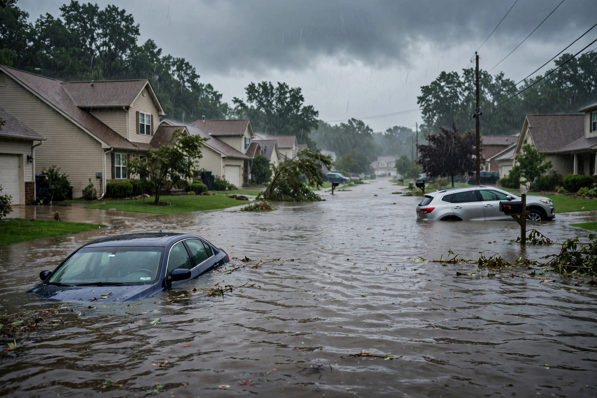
As of this late Monday evening update for the October 26 morning desk (approximately 9:12 PM PDT / 04:12 UTC October 27, 2026), the national picture remains a Quiet Pulse. The Storm Prediction Center Day 1 Convective Outlook (2000 UTC October 26 update, valid through 1200Z October 27) lists no severe thunderstorm areas forecast. The Weather Prediction Center Day 1 Excessive Rainfall Outlook (updated 0051 UTC October 27) maintains a Marginal Risk for portions of the central and southern High Plains and the mid to lower Texas coast. No tropical storm or hurricane watch or warning is in effect on the U.S. coast or Gulf of America.
Tropical: None · Severe: None · Flood: Marginal
What Changed
- Compared with the earlier pulse on this same slug (published ~10:16 PM PDT October 25 and updated through the afternoon): SPC Day 1 remains at No Severe thunderstorm areas forecast. The prior Marginal Risk over New Mexico into far west Texas closed with the eastward shift of the shortwave and loss of stronger shear.
- WPC Day 1 Excessive Rainfall Outlook holds a Marginal Risk from southeastern New Mexico and West Texas to central Kansas, plus the mid to lower Texas coast (Matagorda Bay to near Baffin Bay). No Moderate or above. Footprint reduced from earlier Slight.
- NWS continues isolated Flash Flood Warnings in portions of West Texas (Jeff Davis, Reeves, Pecos) and New Mexico (Chaves), plus a Flood Warning for the Rio Grande near Castolon, Texas (minor flooding). No active convective watches or mesoscale discussions. Overnight LSRs show limited verification of organized severe.
- No tropical storm or hurricane watch or warning on the U.S. coast or Gulf. Atlantic basin quiet with no tropical cyclones. Tropical Storm Vance (Eastern Pacific, weakening) and Post-Tropical Cyclone Olana (Central Pacific) pose no U.S. land threat.
- Severe lane closed. Flood lane at Marginal. Quiet Pulse criteria fully met. Residual ticket is localized flash-flood runoff on sensitive terrain and the Texas coast.
Live Status
SPC Day 1 (2000Z October 26, issued 2:54 PM CDT, with later confirmation) states: “NO SEVERE THUNDERSTORM AREAS FORECAST.” Isolated thunderstorm development occurred earlier along the Sacramento Mountains in southeastern New Mexico and the Davis Mountains in West Texas under 1000–1500 J/kg MLCAPE, but stronger mid/upper-level flow shifted eastward, limiting effective shear to generally 30 kts or less. Organized severe potential remains low. No convective watches are active. Day 2 and Day 3 outlooks also show no severe areas.
WPC Day 1 ERO (850 PM EDT October 26, valid 01Z–12Z October 27) maintains a Marginal Risk from southeastern New Mexico and West Texas to central Kansas, plus the mid to lower Texas coast. Isolated heavy amounts over 3 inches possible near the immediate coast where slow-moving storms may develop under increasing PWAT; rates limited elsewhere by modest instability. No Moderate or higher risk.
NWS offices hold Flash Flood Warnings for portions of Jeff Davis, Reeves, and Pecos Counties in Texas and Chaves County in New Mexico. A Flood Warning continues for the Rio Grande near Castolon, Texas (minor flooding, stage near 15.1 feet earlier). Coastal Flood Warnings and Wind Advisories remain active in the Florida Keys and southeast Florida under northeast flow (non-convective). Alaska carries Winter Storm Warnings and High Wind Warnings, outside CONUS severe/flood thresholds for this desk.
Hotspots
- Southeastern New Mexico and West Texas (High Plains): Residual Marginal ERO. Isolated flash flooding possible on saturated soils, arroyos, and urban areas. Severe threat closed.
- Mid to lower Texas coast (Matagorda Bay to Baffin Bay): Marginal Risk for localized heavy rain under increasing PWAT and slow-moving coastal storms. Urban flash flooding possible.
Just-Hit
Recent Flash Flood Warnings for East Central Jeff Davis County and adjacent areas in southwestern Texas (radar-indicated). River Flood Warning for the Rio Grande near Castolon affecting Brewster County (minor flooding of lowlands and park roads). No widespread severe reports in the latest cycle. Residual runoff continues where soils remain sensitive from prior days.
Pulse Table
| Lane | Status | Notes (as of ~9:12 PM PDT / 04:12 UTC Oct 27 2026) |
|---|---|---|
| Tropical | None | No tropical cyclones in the Atlantic. TS Vance (EPAC, weakening) and Post-Tropical Olana (CPAC) pose no U.S. land threat. No coastal or Gulf watches or warnings. |
| Severe | None | SPC Day 1: No Severe Thunderstorm Areas Forecast (2000Z Oct 26). Prior Marginal over NM/TX closed. No active watches. Day 2–3 quiet. |
| Flood | Marginal | WPC Day 1 Marginal Risk for High Plains and mid/lower Texas coast. Isolated FFWs in TX/NM. No Moderate or higher. |
Restoration Read
Quiet Pulse. Residual restoration ticket is localized flash flooding and rapid runoff on sensitive terrain, burn scars, arroyos, and urban corridors across southeastern New Mexico, West Texas, and the mid to lower Texas coast under the Marginal ERO. Isolated water intrusion and debris possible. No organized severe (hail, wind, tornado) ticket remains open. Monitor for lingering river stages on the Rio Grande and any coastal heavy rain cells.
What This Is Not
This is a Quiet Pulse. No SPC Slight or higher severe risk. No WPC Moderate or higher excessive rainfall. No tropical storm or hurricane watch or warning on the U.S. coast or Gulf of America. This desk summarizes public products from the SPC, WPC, NWS, and NHC. It is not an official warning.
Looking Ahead
Tuesday Day 2: SPC shows no severe thunderstorm areas forecast. The upper trough continues to eject. Residual flash-flood sensitivity remains localized where soils are saturated or under any coastal convection. WPC Day 1 threat winds down overnight. Monitor local NWS offices for any lingering warnings.
Rising Queries
Trends unreachable.
Sources
Official products: Storm Prediction Center (Day 1 Outlook 2000Z Oct 26), Weather Prediction Center (Day 1 Excessive Rainfall Outlook 0051 UTC Oct 27), National Weather Service (watches, warnings, flood statements), National Hurricane Center (Atlantic quiet). Updated in place from earlier morning desk.
Informational only — not an official weather warning. Always check weather.gov for local forecasts and warnings. Turn around, don’t drown.
Get The Signal
What we actually ran, what it measured, and what it means for a restoration shop — every week, including the flops.
Leave a Reply