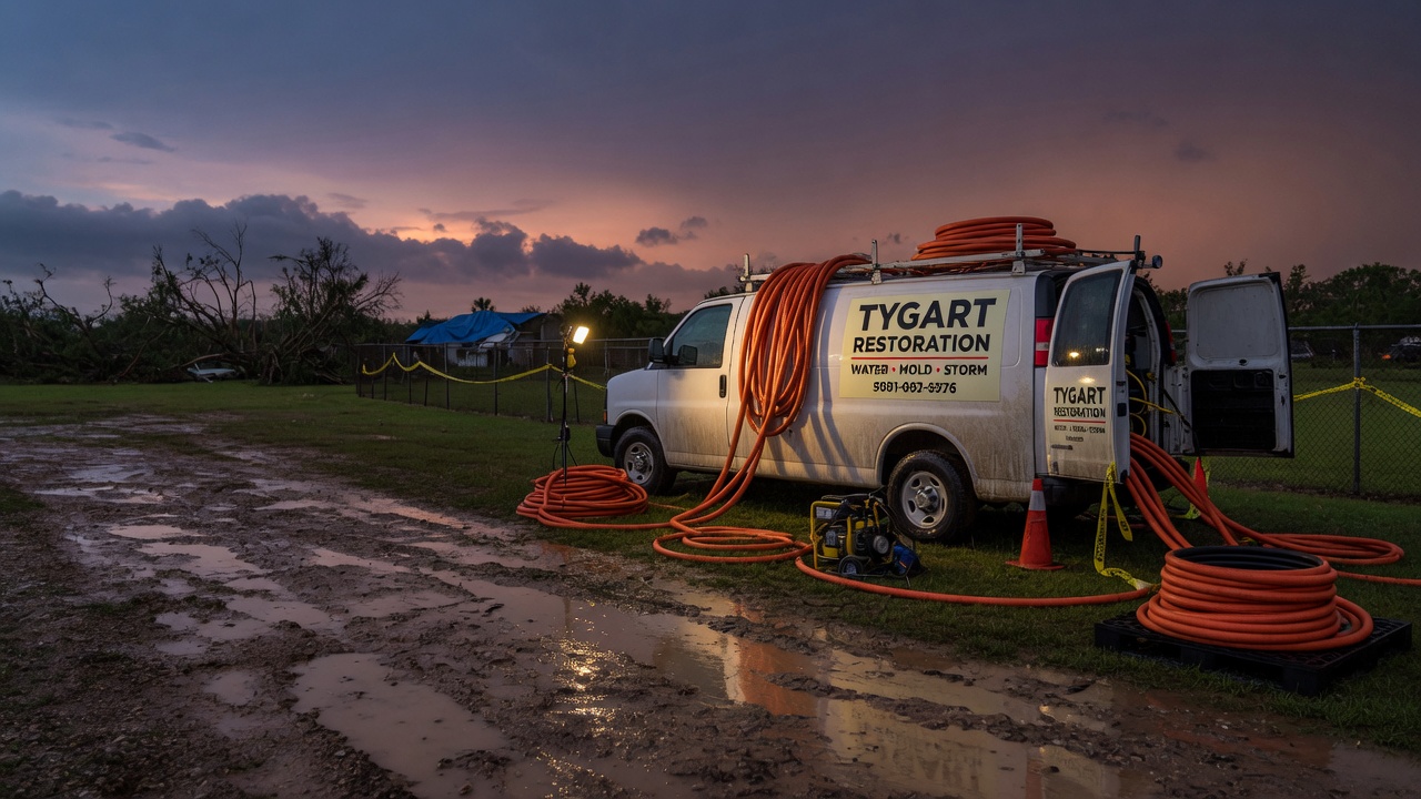
A Flash Flood Warning is in effect this morning for parts of northeastern Iowa and northwestern Illinois. The National Weather Service in Quad Cities issued the warning at 5:45 AM CDT on Sunday, September 20, and it runs through 11:15 AM CDT. Doppler radar shows thunderstorms producing heavy rain across the warned area — between 1 and 2.5 inches have already fallen, and flash flooding is ongoing or expected to begin shortly. These are exactly the interior flooding jobs restoration teams see most after a slow morning of heavy rain.
This is a live snapshot as of 6 AM CDT Sunday, September 20. Conditions change fast — always verify with the National Weather Service for your specific county or ZIP code.
Dubuque County & Northeast Iowa — Flash Flood Warning
Issuing office: NWS Quad Cities IA IL · Issued: 5:45 AM CDT, Sunday, September 20 · Expires: 11:15 AM CDT
The warning covers Delaware, Dubuque, Jackson, and Jones counties in Iowa, plus Jo Daviess County in Illinois. VTEC tag: /O.CON.KDVN.FF.W.0050 — this is a continuation of the Quad Cities office’s active flash flood warning for the area.
Per the alert, at 5:45 AM CDT Doppler radar indicated thunderstorms producing heavy rain across the warned area. Between 1 and 2.5 inches of rain have fallen, and additional rainfall of 0.5 to 1 inch is possible in the warned area. The National Weather Service states flash flooding is ongoing or expected to begin shortly.
Locations that will experience flash flooding include: Dubuque, Asbury, Dyersville, Monticello, Bellevue, Cascade, Epworth, East Dubuque, Farley, Peosta, Earlville, Hopkinton, New Vienna, Colesburg, Worthington, Holy Cross, La Motte, Luxemburg, and Rickardsville.
Expected impacts: Flash flooding of small creeks and streams, urban areas, highways, streets and underpasses, as well as other poor-drainage and low-lying areas.
Certainty: Likely · Urgency: Immediate · Severity: Severe
Stay safe this morning
The National Weather Service’s instruction for this warning:
- Turn around, don’t drown. Most flood deaths occur in vehicles. Never drive through flooded roadways — you cannot tell how deep the water is or whether the road beneath it has washed out.
- Low-water crossings are especially dangerous in heavy rain. The alert notes that in hilly terrain there are hundreds of low-water crossings which can turn dangerous fast. Do not attempt to cross flooded roads; find an alternate route.
- If water enters your home: stay out of standing water where electricity may be present. Avoid the basement until the water recedes and power is confirmed off. Photograph everything before cleanup — documentation matters for insurance — and then call a local restoration contractor. Water left sitting starts a second wave of damage within a day.
- Report what you see. The NWS asks residents to report observed flooding to local emergency services or law enforcement and request they pass the information to the National Weather Service, when it is safe to do so.
What this means for restoration teams
A Sunday-morning flash flood warning across Dubuque and the surrounding counties reads like a textbook call-surge setup. Radar-indicated flooding with 1 to 2.5 inches already down means water is finding the usual ways in: foundation seepage, window-well intrusion, storm-drain backups in low-lying streets, and saturated crawlspaces and basements. Homes that take water early in the morning often don’t get discovered until people wake up and walk downstairs — so expect the call volume to build through the 8 AM–noon window as the warning expires at 11:15 AM CDT.
The damage categories to plan for:
- Interior water intrusion — saturated drywall and insulation along lower walls and basements.
- Mold risk within 24–48 hours — wet porous materials that don’t start drying today become mold jobs tomorrow.
- Sewage and drain backup — heavy rain overwhelming municipal and private systems in low-lying areas.
- Roadway and underpass flooding — slows crew dispatch; stage equipment on the right side of the water now.
The play: Stage equipment now and pre-position drying assets in Dubuque, Dyersville, Monticello, and along the Highway 20 corridor. Keep an on-call rotation through mid-morning. On the first call, capture the address, the water source (intrusion, backup, or seepage), and every affected room — intake quality on a busy morning is what separates a clean claim from a disputed one.
Field discipline: Photo-document before any mitigation. Moisture-map every affected room, not just the one that looks wet. And keep the homeowner’s payment responsibility clear in writing before work starts — insurance questions always come after the water, never before.
FEMA & federal assistance
If flooding damages your home or business, federal help may be available:
- FEMA Helpline: 1-800-621-3362, open 7 a.m. to 10 p.m. local time, 7 days a week.
- Apply at DisasterAssistance.gov, through the FEMA app, or find a recovery center at fema.gov/drc.
- Basic eligibility: citizenship or qualified status, identity verification, proof of occupancy or ownership, and unmet needs not covered by insurance.
- Apply as soon as it’s safe to do so — you do not need to wait for cleanup to begin.
Looking ahead
The warning expires at 11:15 AM CDT. Even after expiry, this event isn’t necessarily over for property owners: creeks and small streams in Delaware, Jones, Jackson, and Dubuque counties can crest after the rain stops, and up to another inch of rain is still possible this morning. Watch for additional rounds — the Quad Cities office will update or extend the warning if the rainfall totals keep climbing.
For contractors, the demand window is just opening: water-intrusion calls typically start within hours of water receding and keep coming for days as people discover damage — finished basements, musty odors, and drywall that looked fine on Sunday but reads wet on a meter by Tuesday. If you serve the Dubuque metro, Asbury, Peosta, Dyersville, or the Galena-side Illinois towns, today’s warning is your early notice to staff up.
Sources & how to verify
- NWS alert: Flash Flood Warning for Delaware, Dubuque, Jackson, Jones (IA) and Jo Daviess (IL) counties, issued 5:45 AM CDT September 20 by NWS Quad Cities — expires 11:15 AM CDT. VTEC /O.CON.KDVN.FF.W.0050.
- NWS Quad Cities office: weather.gov/dvn
- Verify for your county or ZIP: go to weather.gov and enter your ZIP code, or check the NWS Quad Cities page directly for the latest warning map.
This post is for informational purposes and is not an official weather warning. Always follow instructions from local authorities and the National Weather Service.
Leave a Reply