Live flash flood warning: Eastern Cibola County, New Mexico
The National Weather Service in Albuquerque has issued a Flash Flood Warning for eastern Cibola County in west central New Mexico, effective until 5:00 PM MDT on Saturday, September 19, 2026. This is the exact scenario restoration teams see most often on the interior flooding side of their business: fast water, short notice, and neighborhoods that flood before anyone gets a second phone call. This is a live snapshot as of September 19, 2026, 2:20 PM PDT. Conditions change fast — always verify with the National Weather Service for your specific county or ZIP code.
Laguna Pueblo — Flash Flood Warning
Issued by NWS Albuquerque NM at 2:04 PM MDT on September 19, 2026, the warning expires at 5:00 PM MDT. Severity is rated Severe, with flooding Likely and an Immediate urgency — NWS places this among the most serious short-fuse categories it issues.
At 2:04 PM MDT, Doppler radar indicated thunderstorms producing heavy rain over and near Laguna Pueblo, including Interstate 25. Between 1 and 1.5 inches of rain have already fallen in the warned area, and additional amounts of 0.5 to 0.75 inches are possible. NWS states that flash flooding is ongoing or expected to begin shortly. The warning source is radar indicated.
Communities in the warned footprint include Laguna Pueblo, New Laguna, Mesita, and Paraje. The warning also explicitly covers Interstate 40 between Mile Markers 108 and 118 — drivers on that corridor should treat any water over the roadway as impassable.
Expected impacts, per NWS: flash flooding of small creeks and streams, urban areas, highways, streets and underpasses, as well as other poor-drainage and low-lying areas. This is high-desert country, which matters for how fast water moves — dry washes and arroyos can go from empty to violent in minutes on the kind of rainfall totals this warning reports.
The VTEC identifier for this warning is /O.NEW.KABQ.FF.W.0159.260919T2004Z-260919T2300Z/. Check the alert directly through the NWS Albuquerque office page and the official alert source at api.weather.gov.
Stay safe tonight
Turn around, don’t drown when encountering flooded roads. Most flood deaths occur in vehicles. Never drive through flooded roadways — water that looks shallow can hide a washed-out roadbed, and a stalled vehicle in a low-water crossing can become a rescue call in seconds. If you are on I-40 between mile markers 108 and 118 and encounter water across the highway, stop before the water, not in it.
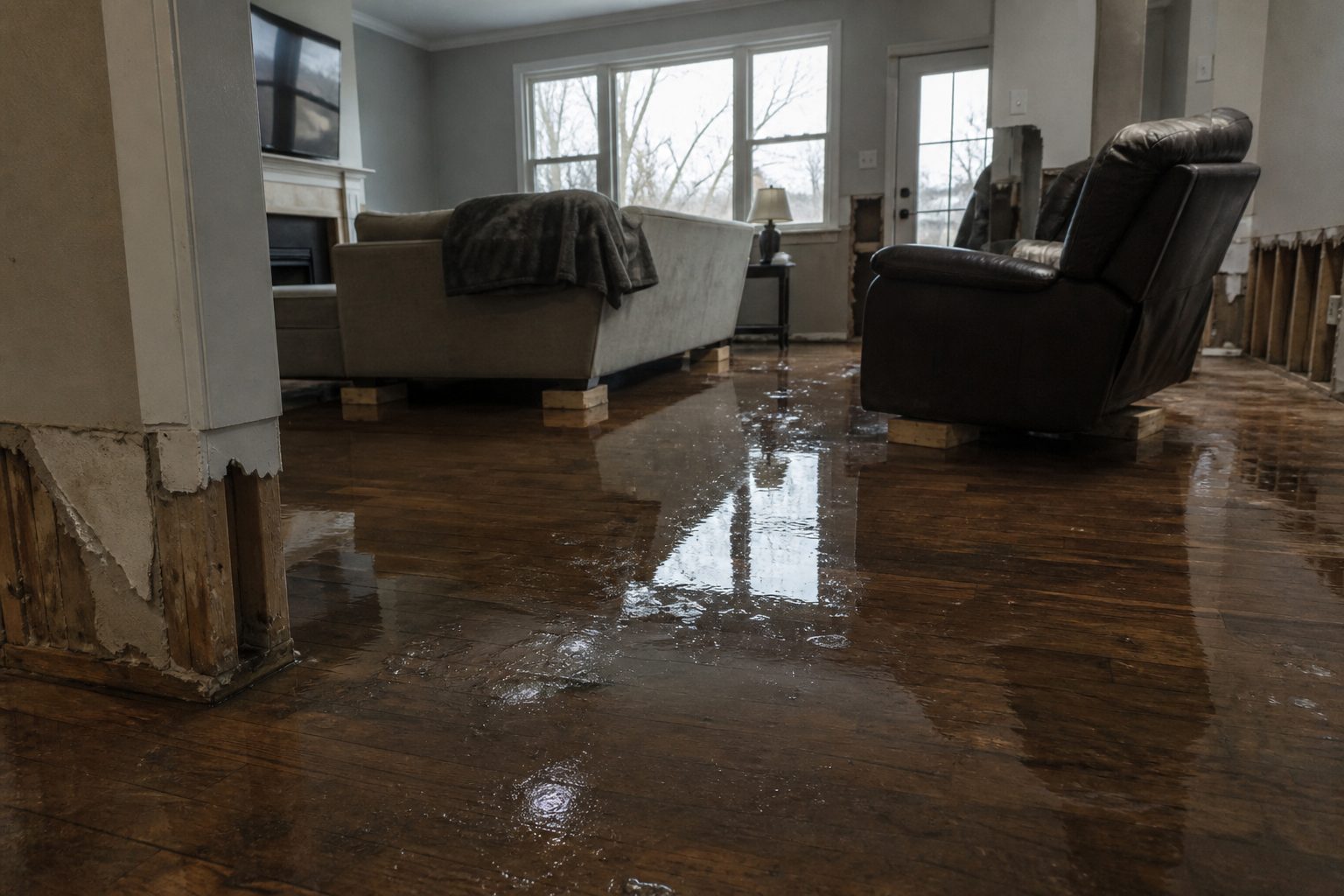
If water enters your home: stay out of standing water where electricity may be present, avoid the basement or lower level until water recedes and power is confirmed off, and photograph everything before cleanup — documentation matters for insurance. Then call a local restoration contractor. Water left sitting doesn’t wait for business hours; it starts a second wave of damage within a day as drywall wicks it upward and materials that look fine begin to swell and smell.
If you smell natural gas, hear hissing, or see structural cracking, get out and call 911 rather than re-entering to retrieve belongings.
What this means for restoration teams
This is the Laguna Pueblo / I-40 corridor exposure, and it lines up with the bread-and-butter water job: interior water intrusion into homes and pueblo structures, saturated drywall and insulation where adobe and stucco exteriors take on wind-driven rain, and a mold window that opens within 24 to 48 hours if wet materials don’t get dried properly. Flash-flood jobs along a highway corridor also bring the underpass-and-low-grade commercial sites that call late — parking garages, roadside businesses, and drainage-adjacent storage.
The play for New Mexico-area contractors: stage equipment now and pre-position drying assets before the warning expires at 5:00 PM MDT — crews that roll after the calls stack up lose the first wave. Keep an on-call rotation through the night, because water-intrusion discoveries keep coming as people get home from work and walk into wet carpet. On the first call, capture the essentials before anything else: address, water source (groundwater, roof intrusion, drainage backup), and the affected areas of the structure.
Tribal-land access realities apply in and around Laguna Pueblo — respect access protocols, coordinate with whoever the homeowner points you to on site, and keep it simple and professional. Field discipline stays the same as anywhere else: photo-document before mitigation, moisture-map every affected room, and keep the homeowner’s payment responsibility clear in writing before work starts. In adobe and stucco construction especially, what looks like a dry surface can still hold deep moisture — meter readings before you close anything up, not after the truck rolls away.
Local emergency contacts
Cibola County Office of Emergency Management — the county’s emergency management office in Grants. Main line: 505-285-2558 (alternate 505-285-7944), per the New Mexico Office of Emergency Management county contact list. The county uses the Hyper-Reach notification system for emergency alerts — residents can call or text 505-209-8309 to enroll. For life-threatening emergencies, dial 911.
FEMA & federal assistance
If this storm damages your home or business, the FEMA Helpline is 1-800-621-3362 (7 a.m.–10 p.m. local, 7 days a week). You can also start at DisasterAssistance.gov, use the FEMA app, or visit fema.gov/drc to find disaster recovery centers. Basic eligibility: citizenship or qualified status, identity verification, proof of occupancy or ownership, and unmet needs not covered by insurance. Apply as soon as it is safe to do so — you do not need to wait for cleanup to be finished.
Looking ahead
The warning expires at 5:00 PM MDT — but the end of the warning is not the end of the risk. Runoff in the high desert keeps moving after the rain stops: arroyos and small creeks can crest later in the evening, and saturated ground means any additional round of storms overnight floods faster than the first. Watch the sky and the NWS Albuquerque office page into the evening hours; the next update lands through the normal NWS alerting channels if conditions re-develop.
For contractors, the demand window is worth planning around: water-intrusion calls typically start within hours of water receding and keep coming for days as people discover damage — the garage they don’t open until Monday, the guest room they don’t walk into until the weekend. First-call capture discipline tonight is what fills the schedule next week.
Sources & how to verify
This post is built entirely from the official NWS alert: the Flash Flood Warning issued by NWS Albuquerque and the NWS Albuquerque NM office page. To verify for your own county or ZIP code, go to weather.gov and enter your ZIP, or check your local NWS office page directly. Warnings move fast — never rely on this post alone for current conditions.
This post is for informational purposes and is not an official weather warning. Always follow instructions from local authorities and the National Weather Service.
Leave a Reply