Tropical: None · Severe: None · Flood: Slight
What Changed
- SPC Day 1 Convective Outlook (latest 0100 UTC Nov 18 / 0649 PM CST Tue Nov 17 2026 by Broyles, valid 180100Z–181200Z) continues NO SEVERE THUNDERSTORM AREAS FORECAST. Summary: Severe thunderstorms are not forecast across the U.S. through tonight. No change from the Nov 16 afternoon pulse table. Isolated non-severe convection possible in northern California, Great Basin, and south Florida. No watches or mesoscale discussions elevating the severe lane.
- WPC Day 1 Excessive Rainfall Outlook (updated 0032 UTC Wed Nov 18 2026 / 735 PM EST Tue Nov 17, valid 01Z Nov 18–12Z Nov 18) has opened a Slight Risk of excessive rainfall for much of the Florida east coast (Space Coast to Miami, emphasis on I-95 corridor). This is a change from yesterday’s Quiet (probability <5%). Neighborhood probabilities support local 3-6" totals with lower chances of 5"+. Slight is below Moderate, so national flood lane opens but Quiet criteria hold.
- NWS local products: Flood Watches active across portions of the Florida east coast and inland (e.g., Melbourne, Jacksonville offices) for repeated rounds of showers through Friday with 3-6″ and localized 8-12″. Flash Flood Warnings remain in effect for Oak Creek in Yavapai and Coconino Counties, Arizona (river gauge rises, considerable damage threat). Residual Flood Warnings in Texas and elsewhere. Winter Storm Warnings and High Wind products continue or upgrade for the Sierra Nevada and northern California mountains.
- NHC Atlantic, Eastern Pacific, and Central Pacific: No tropical cyclones. Formation not expected during the next 7 days. No tropical storm or hurricane watch or warning on the U.S. coast or Gulf of America. No change.
- Nothing moved on the severe lane. Flood lane elevated from Quiet to Slight on the Florida east coast. Quiet Pulse remains open.
Live Status
As of the morning desk on Tuesday, November 17, 2026 (approximately 8:16 PM PST / 11:16 PM EST / 0416Z November 18), the national picture remains a Quiet Pulse. Quiet criteria hold: nothing at SPC Slight or above, no WPC ERO Moderate or above, and no tropical storm or hurricane watch or warning on the U.S. coast or Gulf of America.
The Storm Prediction Center Day 1 Outlook confirms no severe thunderstorm areas through tonight. An upper trough continues through the Intermountain West, supporting isolated thunderstorms from the Desert Southwest and Four Corners northward, and along the northern California coast into southwest Oregon. Cool surface temperatures and limited moisture keep any severe potential suppressed. South Florida sees possible isolated storms but no organized severe threat.
The Weather Prediction Center has elevated the Day 1 Excessive Rainfall Outlook to Slight Risk along much of the Florida Atlantic coast. Prevailing easterly flow and convergence support localized flash flood threat overnight into early Wednesday, with pockets of 3-6 inches possible near Boca Raton, St. Lucie County, and the I-95 corridor. Flood Watches cover coastal and inland counties from the Space Coast southward and northward into northeast Florida. Radar shows widespread rainfall across the peninsula.
In Arizona, Flash Flood Warnings remain for Oak Creek near Sedona and Page Springs (Yavapai/Coconino Counties) with river gauge rises of several feet and life-threatening flooding. These are residual from prior rainfall. Winter products continue for the Sierra Nevada with heavy snow expected midweek above 5,000 feet. Alaska marine products include gale, storm, and heavy freezing spray warnings.
National Hurricane Center products show no tropical cyclones anywhere in the Atlantic, Caribbean, Gulf of America, Eastern Pacific, or Central Pacific. No U.S. coastal or Gulf tropical watches or warnings.
Hotspots
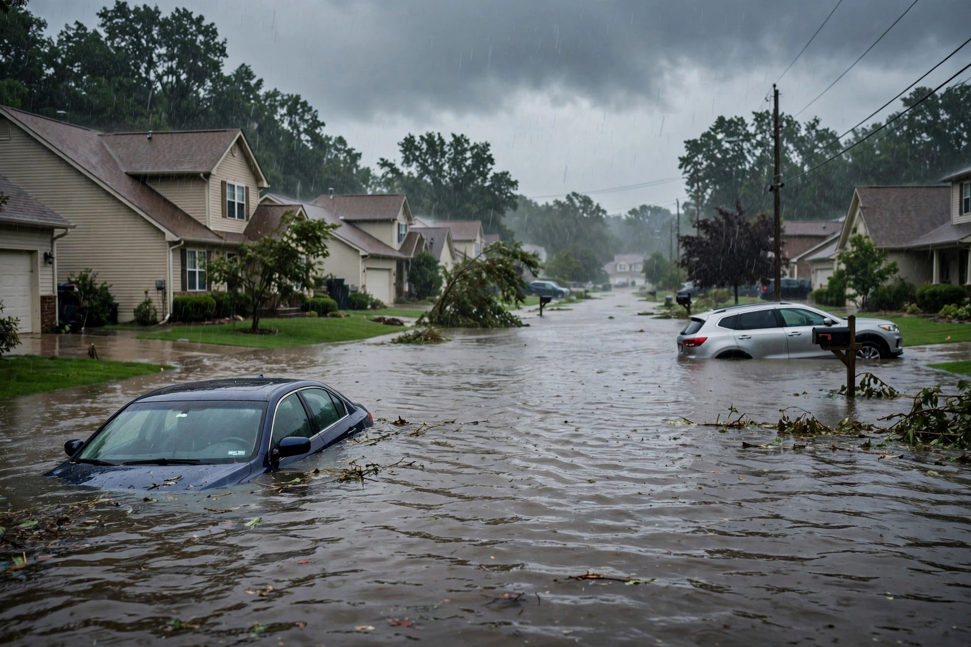
1. Florida east coast (Space Coast to Miami, including Brevard, Volusia, Palm Beach, Broward, Miami-Dade): Slight Risk excessive rainfall. Flood Watches in effect. Potential for localized 3-12 inches over multi-day period. Urban and coastal flooding possible along I-95.
2. Oak Creek / Sedona area, Arizona (Yavapai and Coconino Counties): Active Flash Flood Warnings with considerable damage threat from rising creek levels. Life-threatening flooding possible.
3. Sierra Nevada and northern California mountains: Winter Storm Warnings and related products for heavy snow midweek. Travel impacts expected on major passes.
Just-Hit
Overnight and daytime Local Storm Reports remain limited for severe weather. Primary impacts are ongoing and developing flooding in Florida and residual river flooding in Arizona. No widespread verifying severe wind, hail, or tornado reports elevating the national picture. Marine warnings active off Florida for waterspouts earlier.
Pulse Table
| Lane | Status | Notes (as of ~0416Z Nov 18 / 8:16 PM PST Nov 17 2026) |
|---|---|---|
| Tropical | None | No TC in Atlantic, Caribbean, Gulf of America, EPAC, or CPAC. NHC formation not expected next 7 days. No U.S. coastal or Gulf watches or warnings. |
| Severe | None | SPC Day 1 (0100Z Nov 18): NO SEVERE THUNDERSTORM AREAS FORECAST. Isolated non-severe storms possible CA coast, Great Basin, south FL. No watches or elevating MDs. No change from Nov 16 afternoon. |
| Flood | Slight | WPC Day 1 Slight Risk for much of Florida east coast. Flood Watches active. Residual Flash Flood Warnings Oak Creek AZ. Below Moderate. Change from Quiet yesterday. |
Rising Queries
Trends unreachable.
Restoration Read
Quiet Pulse with flood lane opened to Slight on the Florida east coast. Dominant ticket is potential water intrusion and urban flooding along the Florida Atlantic corridor over the next several days. Residual work on Oak Creek flooding in Arizona and upcoming Sierra snow impacts. No organized severe window. Monitor local NWS for Flood Warnings. Turn around, don’t drown. Standard quiet-day posture otherwise.
No named storm hub required this desk.
What This Is Not
This is a Quiet Pulse. Not an official warning. No SPC Slight or higher severe risk. No WPC Moderate or higher excessive rainfall. No tropical storm or hurricane watch or warning on the U.S. coast or Gulf. Local Flood Watches and Warnings in Florida and Arizona do not elevate the national severe or higher flood categories.
Looking Ahead
Wednesday continues the Slight Risk (and potentially higher) for excessive rainfall on the Florida east coast as easterly flow persists. The western upper trough supports continued isolated storms and increasing winter impacts in the Sierra. No tropical development expected. National severe lane remains closed.
Sources
- SPC Day 1 Outlook: https://www.spc.noaa.gov/products/outlook/day1otlk.html
- WPC Day 1 Excessive Rainfall Outlook: https://www.wpc.ncep.noaa.gov/qpf/ero.php
- NWS Watches/Warnings: https://www.weather.gov/wwamap/wwatxtget.php?cwa=usa&wwa=all
- NHC Tropical Weather Outlook: https://www.nhc.noaa.gov/
- Previous desk: https://tygartmedia.com/quiet-pulse-2026-11-16-afternoon/
Disclaimer: Informational only — not an official warning. Always confirm with the latest official forecasts from the National Weather Service, Storm Prediction Center, Weather Prediction Center, and National Hurricane Center.
Get The Signal
What we actually ran, what it measured, and what it means for a restoration shop — every week, including the flops.
Leave a Reply