Tropical: None · Severe: Marginal · Flood: Moderate
What Changed
- SPC Day 1 Convective Outlook (1630 UTC Nov 19 2026 by Gleason/Halbert-E., valid 191630Z–201200Z) has opened a Marginal Risk of severe thunderstorms across parts of central California, focused mainly over the San Joaquin Valley (area ~21,721 sq mi, population ~3.85 million including Fresno, Stockton, Modesto). Isolated thunderstorms capable of occasional severe gusts, small hail, and perhaps a brief tornado are possible. This is an elevation from the prior NO SEVERE areas. Mesoscale Discussion 2458 (issued 1841 UTC) addresses the central San Joaquin Valley and Sierra foothills for hail and/or a brief/weak tornado; watch issuance probability 20 percent (unlikely).
- WPC Day 1 Excessive Rainfall Outlook (updated 0733 UTC Thu Nov 19 2026 by Roth, valid 12Z Nov 19–12Z Nov 20) continues a Moderate Risk of excessive rainfall for portions of eastern and central Florida (including higher-end areas near Cocoa Beach, Melbourne, Fort Pierce). Slight Risk remains for the Los Angeles Basin and surrounding areas in California. Antecedent wet conditions and training bands support flash flooding risk. No change in the national Moderate category from the Nov 18 afternoon pulse.
- NHC Atlantic Tropical Weather Outlook (100 PM EST Thu Nov 19 2026): No tropical cyclones. A non-tropical low is expected to form along the front east of the Florida peninsula on Friday. Formation chance through 48 hours low (30 percent); through 7 days medium (60 percent) for becoming a subtropical or tropical storm while moving northward or north-northeastward near or just offshore the southeastern U.S. coast. No tropical storm or hurricane watch or warning on the U.S. coast or Gulf. Next name is Kyle. No change in the tropical lane status.
- NWS WWA products include Winter Storm Warnings for the Sierra Nevada (heavy snow above 5,000 feet until early Friday), High Wind Warnings in portions of the Rockies and California, and Flood Watches/Flash Flood Warnings in southern California and residual Florida impacts. These remain local. No organized severe watches valid.
Live Status
As of the afternoon desk on Thursday, November 19, 2026 (approximately 11:33 AM PST / 2:33 PM EST / 1933Z), the national picture holds a Moderate flood risk on the Florida east and central coast with a new Marginal severe risk in central California. Quiet criteria do not hold because of the WPC Moderate excessive rainfall outlook. SPC remains below Slight. No tropical watches or warnings are in effect on the U.S. coast.
The primary hotspot is eastern and central Florida, where training bands in a moist, unstable airmass continue to produce heavy rainfall rates capable of flash flooding, especially in urban and previously saturated areas. Secondary focus is central California, where a cold upper trough supports isolated stronger cells this afternoon into the evening. Southern California sees ongoing rain and flood concerns with the onshore flow and front. A disturbance off the Southeast U.S. coast is being monitored for possible development this weekend, but remains non-tropical at this time.
Hotspots
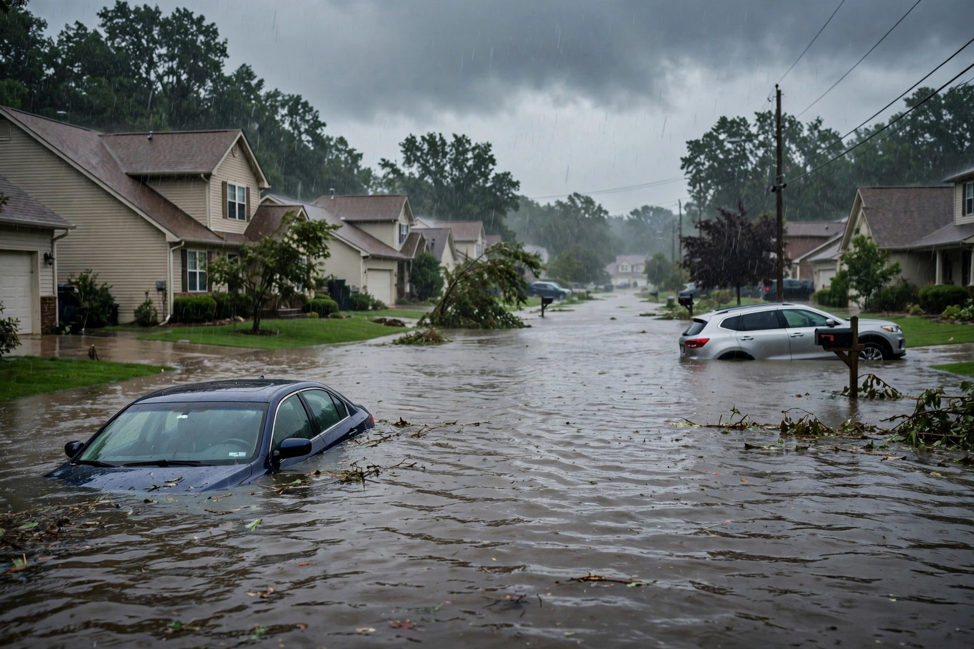
Eastern and Central Florida: Moderate Risk of excessive rainfall continues. Hourly rates potentially high in short, training bands. Antecedent rains of several inches in east-central and south Florida increase sensitivity. Flood watches remain active in places. Restoration volume will be driven by water intrusion along the Atlantic corridor.
Central California (San Joaquin Valley): Marginal Risk for isolated severe gusts, small hail, and a conditional brief tornado. MD 2458 notes modest heating, steep lapse rates, and favorable shear for small supercells. No watch expected. Cold temperatures aloft near -25 C at 500 mb.
Southern California (Los Angeles Basin and Transverse Ranges): Slight Risk of excessive rainfall on WPC Day 1. Heavy rain associated with the front and onshore flow, with drainage off the mountains and burn-scar concerns. Flood watches active in much of Los Angeles County. 1–3 inches expected in many areas, locally higher on coastal slopes.
Just-Hit / Ongoing
Heavy rainfall has already impacted portions of Florida over the past day, with localized totals exceeding a foot in some Broward and Hollywood areas per prior NWS statements. Southern California is seeing the onset of the Pacific storm with early impacts in Ventura County and expanding into Los Angeles. Sierra Nevada Winter Storm Warnings are producing significant mountain snow. High winds continue in elevated terrain of the Rockies and parts of California.
Pulse Table
| Lane | Status | Notes (as of ~1933Z Nov 19 / 11:33 AM PST Nov 19 2026) |
|---|---|---|
| Tropical | None | No TC in Atlantic, Caribbean, Gulf of America, EPAC, or CPAC. NHC 48h chance 30%, 7-day 60% for non-tropical low near SE US coast developing into subtropical/tropical storm. No U.S. coastal or Gulf watches or warnings. Next name Kyle. |
| Severe | Marginal | SPC Day 1 (1630Z Nov 19): Marginal Risk central California (San Joaquin Valley) for isolated severe gusts, small hail, brief tornado. MD 2458 valid. No watches. Below Slight threshold. |
| Flood | Moderate | WPC Day 1 ERO: Moderate Risk eastern/central Florida. Slight Risk Los Angeles Basin/CA. Flash flooding possible in training bands and burn scars. No higher risk areas. |
Restoration Read
Primary short-term ticket is water intrusion and flash flooding along the Florida Atlantic corridor (east and central Florida) through Friday. Secondary is isolated flooding, debris flows, and possible light wind/hail damage in central and southern California. Sierra snow will disrupt mountain travel and access. No widespread organized severe damage expected. Teams should prioritize drying and extraction in saturated Florida urban areas while monitoring California burn scars and coastal slopes.
What This Is Not
This is not a Quiet Pulse. WPC Moderate excessive rainfall risk is active. Not an official warning. No SPC Slight or higher severe risk. No tropical storm or hurricane watch or warning on the U.S. coast or Gulf. Residual winter, high wind, and marine products do not elevate the national desk beyond the Florida flood threat and the new California Marginal.
Looking Ahead One Day
Florida heavy rain threat persists into Friday before the system shifts. The non-tropical low off the Southeast coast may organize further over the weekend with increasing risk of coastal impacts (winds, surf, flooding) from the Carolinas northward regardless of tropical development. California storm moves inland with residual mountain snow and decreasing flood risk. SPC Day 2 holds no severe areas. Monitor NHC for any upgrade of the disturbance.
Rising Queries
Florida flooding, California rain, atmospheric river Southern California, San Joaquin Valley storms, Southeast US disturbance.
Sources
- SPC Day 1 Outlook: https://www.spc.noaa.gov/products/outlook/day1otlk.html
- SPC MD 2458: https://www.spc.noaa.gov/products/md/md2458.html
- WPC Day 1 ERO: https://www.wpc.ncep.noaa.gov/qpf/ero.php
- NWS WWA Summary: https://www.weather.gov/wwamap/wwatxtget.php?cwa=usa&wwa=all
- NHC Tropical Weather Outlook: https://www.nhc.noaa.gov/gtwo.php?basin=atlc&fdays=7
- Prior desk (Nov 18 afternoon): https://tygartmedia.com/quiet-pulse-2026-11-18-afternoon/
Disclaimer
This is an independent summary of publicly available official products from the Storm Prediction Center, Weather Prediction Center, National Hurricane Center, and National Weather Service. It is not an official forecast or warning. Always consult the latest NWS products for your location. Conditions can change rapidly. Tygart Media Storm Tracker is for situational awareness only.
Get The Signal
What we actually ran, what it measured, and what it means for a restoration shop — every week, including the flops.
Leave a Reply