Tropical: None · Severe: None · Flood: Moderate
What Changed
- WPC Day 1 Excessive Rainfall Outlook (latest discussion 0826Z Nov 18 2026 by Putnam, valid through 12Z Thu Nov 19) has upgraded to a Moderate Risk of excessive rainfall for the Space and Treasure Coasts of Florida (generally St. Lucie County north to Brevard County). This is an elevation from the Slight Risk noted on the morning pulse. Hi-res guidance shows high probabilities for >5″ and moderate-high for >8″. Antecedent wet conditions from prior rain support scattered to widespread flash flooding.
- SPC Day 1 Convective Outlook (1300 UTC Nov 18 2026 by Guyer/Mead, valid 181300Z–191200Z) continues NO SEVERE THUNDERSTORM AREAS FORECAST. Summary: Organized severe thunderstorms are not forecast across the U.S. today or tonight. No change from morning. Isolated non-severe storms possible in southern Florida/Keys and West Coast/California. No watches or elevating mesoscale discussions.
- NHC Atlantic Tropical Weather Outlook (100 PM EST Wed Nov 18 2026): No tropical cyclones. A non-tropical low is expected to form near the northern Bahamas by late Friday, with low (near 0%) 48-hour and medium (40%) 7-day chance of becoming subtropical or tropical while moving near or offshore the southeastern U.S. coast. No tropical storm or hurricane watch or warning on the U.S. coast or Gulf. No change in the tropical lane.
- Flood watches remain active along much of Florida’s east coast through Friday. Overnight and morning reports of heavy rainfall (locally over a foot in parts of Broward/Hollywood area per NWS statements) have closed sections of I-95 and the Turnpike and prompted local emergencies. Severe lane unchanged.
Live Status
As of the afternoon desk on Wednesday, November 18, 2026 (approximately 3:27 PM PST / 6:27 PM EST / 2327Z), the national picture has elevated on the flood lane. Quiet criteria do not hold: WPC ERO Moderate or above is in effect on the Florida east coast. SPC holds no Slight or above severe risk. No tropical storm or hurricane watch or warning on the U.S. coast or Gulf of America.
The Storm Prediction Center Day 1 Outlook confirms no severe thunderstorm areas through tonight. An upper trough approaches the West Coast with isolated thunderstorm potential near northern California expanding inland tonight; instability remains insufficient for organized severe weather. In Florida, a cut-off low and enhanced easterly flow support persistent banding convection along the east coast, but mid-level flow is weak and the threat is primarily heavy rainfall rather than severe.
WPC maintains a Moderate Risk for excessive rainfall along the Space and Treasure Coasts, with broader Slight and Marginal risks along the remainder of Florida’s Atlantic coast. Hi-res models indicate rain rates of 2-3 inches per hour possible in the most intense bands, with local totals of 5-8+ inches common and isolated higher amounts where training occurs. The St. Johns River is already at major flood stage in places; additional rainfall will exacerbate river and urban flooding. A secondary Slight Risk exists for central California coastal ranges associated with a progressive atmospheric river, with local 2-6 inch totals possible and debris flow concerns on burn scars.
Hotspots
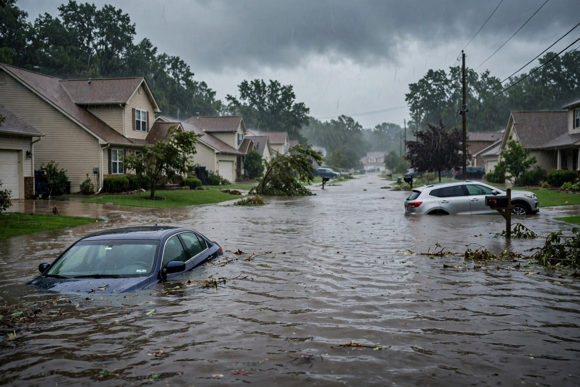
Primary hotspot is Florida’s Atlantic coast, particularly the Space Coast (Brevard County) and Treasure Coast (St. Lucie and adjacent). Flood watches cover southeast and east-central Florida through Friday. Observed overnight rainfall of 6-12+ inches in Broward County led to road closures on I-95 and the Florida Turnpike, high-water rescues, and local states of emergency in Hollywood and Broward. Additional 4-8+ inches are possible through Friday in the Moderate zone, with training bands the main driver.
Secondary hotspot is central California coastal ranges and foothills under a higher-end Slight ERO. A progressive AR is bringing 2-3 inch areal averages with local 4-6 inches, focused south of the Bay Area. Snow levels remain relatively low (~5000-6000 feet), limiting rain on higher terrain but supporting isolated flooding in valleys and burn scar debris flows. North Bay and Bay Area saw heavy morning rain with some road flooding and power outages.
Get The Signal
What we actually ran, what it measured, and what it means for a restoration shop — every week, including the flops.
Residual western U.S. and Alaska products include winter weather and marine warnings, but no national elevation of severe or flood lanes beyond the above.
Just-Hit
As of afternoon Nov 18, significant rainfall has already occurred along Florida’s east coast. NWS Miami and local offices reported rates exceeding 5 inches per hour in the Hollywood area overnight, with cumulative totals over a foot in spots. This produced widespread street flooding, closed major highways, and more than 300 service calls in Hollywood. Similar but less extreme totals were recorded farther north toward the Space Coast. No SPC severe weather reports of significance today; the primary impact is flash and urban flooding. California saw morning rainfall rates high enough to cause street flooding in the Bay Area and North Bay, with some power outages from wind and rain.
Pulse Table
| Lane | Status | Notes (as of ~2327Z Nov 18 / 3:27 PM PST Nov 18 2026) |
|---|---|---|
| Tropical | None | No TC in Atlantic, Caribbean, Gulf of America, EPAC, or CPAC. NHC 7-day formation chance 40% for non-tropical low near northern Bahamas late Friday; no U.S. coastal or Gulf watches or warnings. |
| Severe | None | SPC Day 1 (1300Z Nov 18): NO SEVERE THUNDERSTORM AREAS FORECAST. Isolated non-severe storms possible southern FL/Keys and CA coast/interior. No watches or elevating MDs. No change from morning. |
| Flood | Moderate | WPC Day 1 ERO: Moderate Risk Space and Treasure Coasts of Florida (St. Lucie to Brevard). Slight Risk elsewhere on FL east coast and higher-end Slight in central CA coastal ranges. Flood watches active. Significant overnight rainfall already observed in South Florida. |
Restoration Read
Flood lane elevated to Moderate on Florida’s Space and Treasure Coasts. Primary short-term ticket is urban and flash flooding, road closures, and potential structural impacts from repeated heavy rainfall on already saturated ground. St. Johns River major flooding will worsen. Secondary ticket is isolated flooding and debris flows in central California coastal ranges. No organized severe or tropical impacts. Restoration volume will be driven by water intrusion and infrastructure disruption along the Florida Atlantic corridor through Friday.
What This Is Not
This is not a Quiet Pulse. WPC Moderate excessive rainfall risk is active. Not an official warning. No SPC Slight or higher severe risk. No tropical storm or hurricane watch or warning on the U.S. coast or Gulf. Residual winter and marine products do not elevate the national desk beyond the Florida flood threat.
Looking Ahead One Day
WPC Day 2 continues a Moderate Risk for excessive rainfall along the Space Coast and southern First Coast of Florida. The multi-day event persists with slow-moving bands. SPC Day 2 holds a Marginal Risk of severe thunderstorms over portions of California for damaging gusts and a brief tornado possible Thursday. No tropical development expected in the next 48 hours; the monitored non-tropical low remains a later concern. California AR shifts southward into southern California with another Slight ERO possible.
Rising Queries
Florida flooding, Florida flood watch, Space Coast rain, Treasure Coast flooding, Hollywood Florida flood.
Sources
- SPC Day 1 Convective Outlook: https://www.spc.noaa.gov/products/outlook/day1otlk.html
- WPC Excessive Rainfall Outlook and Discussion: https://www.wpc.ncep.noaa.gov/qpf/ero.php and https://www.wpc.ncep.noaa.gov/discussions/hpcdiscussions.php?disc=qpferd
- NWS WWA Summary: https://www.weather.gov/wwamap/wwatxtget.php?cwa=usa&wwa=all
- NHC Tropical Weather Outlook: https://www.nhc.noaa.gov/gtwo.php?basin=atlc&fdays=7
- Morning desk: https://tygartmedia.com/quiet-pulse-2026-11-17-morning/
Disclaimer
This is an independent summary of publicly available official products from the Storm Prediction Center, Weather Prediction Center, National Hurricane Center, and National Weather Service. It is not an official forecast or warning. Always consult the latest NWS products for your location. Conditions can change rapidly. Tygart Media Storm Tracker is for situational awareness only.
Get The Signal
What we actually ran, what it measured, and what it means for a restoration shop — every week, including the flops.
Leave a Reply