Tropical: None · Severe: None · Flood: Slight
What Changed
- Compared with this morning’s pulse table (quiet-pulse-2026-11-09-morning: Tropical: None · Severe: None · Flood: Slight): Latest SPC Day 1 Convective Outlook (0100 UTC Nov 10 / 0635 PM CST Mon Nov 09 2026 by Mead, valid 100100Z–101200Z) continues NO SEVERE THUNDERSTORM AREAS FORECAST. Summary: Severe thunderstorms are unlikely through tonight. No material change. Pacific Northwest shortwave supports sporadic lightning with MUCAPE a few hundred J/kg; a few strong gusts possible but severe not expected. Deep South Texas to middle Texas Coast: elevated thunderstorms possible on marginal instability; most vigorous convection offshore SE of Brownsville. No watches or mesoscale discussions valid. Zero significant LSRs elevating the severe lane.
- WPC Day 1 Excessive Rainfall Outlook (updated 1602 UTC / ~11:02 AM EST Mon Nov 09 2026 by Miller, valid 16Z Nov 09–12Z Nov 10) maintains a Slight Risk across portions of far southeastern Texas. Additional rain on highly saturated soils (prior 4–10 inches near Kingsville/lower RGV; SPoRT soil moisture >95th percentile) supports isolated to scattered flash flood threat into early afternoon, waning later as pattern degrades. No Moderate or higher.
- NWS products show residual Flood Warnings in South Texas, Florida (Peace River), and Arizona; Blizzard Warning in Alaska (Thompson Pass); routine frost/freeze/marine advisories. Prior Flash Flood Warnings and Flood Watch for South Texas have expired. None elevate national lanes above Quiet Pulse thresholds.
- Tropical remains None. NHC: no tropical cyclones in Atlantic/Caribbean/Gulf. Formation not expected next 7 days. No U.S. coastal or Gulf watches or warnings. TS Pena (Central Pacific) no mainland threat.
- Quiet Pulse criteria continue to hold: nothing at SPC Slight or above, no WPC ERO Moderate or above, no tropical storm or hurricane watch or warning on the U.S. coast or Gulf. Nothing material moved from the morning pulse table.
Live Status
As of the afternoon desk on Monday, November 9, 2026 (approximately 9:18 PM PST / 05:18 UTC November 10), the national picture remains a Quiet Pulse. The Storm Prediction Center’s Day 1 Convective Outlook (0100 UTC) states no severe thunderstorm areas are forecast through tonight.
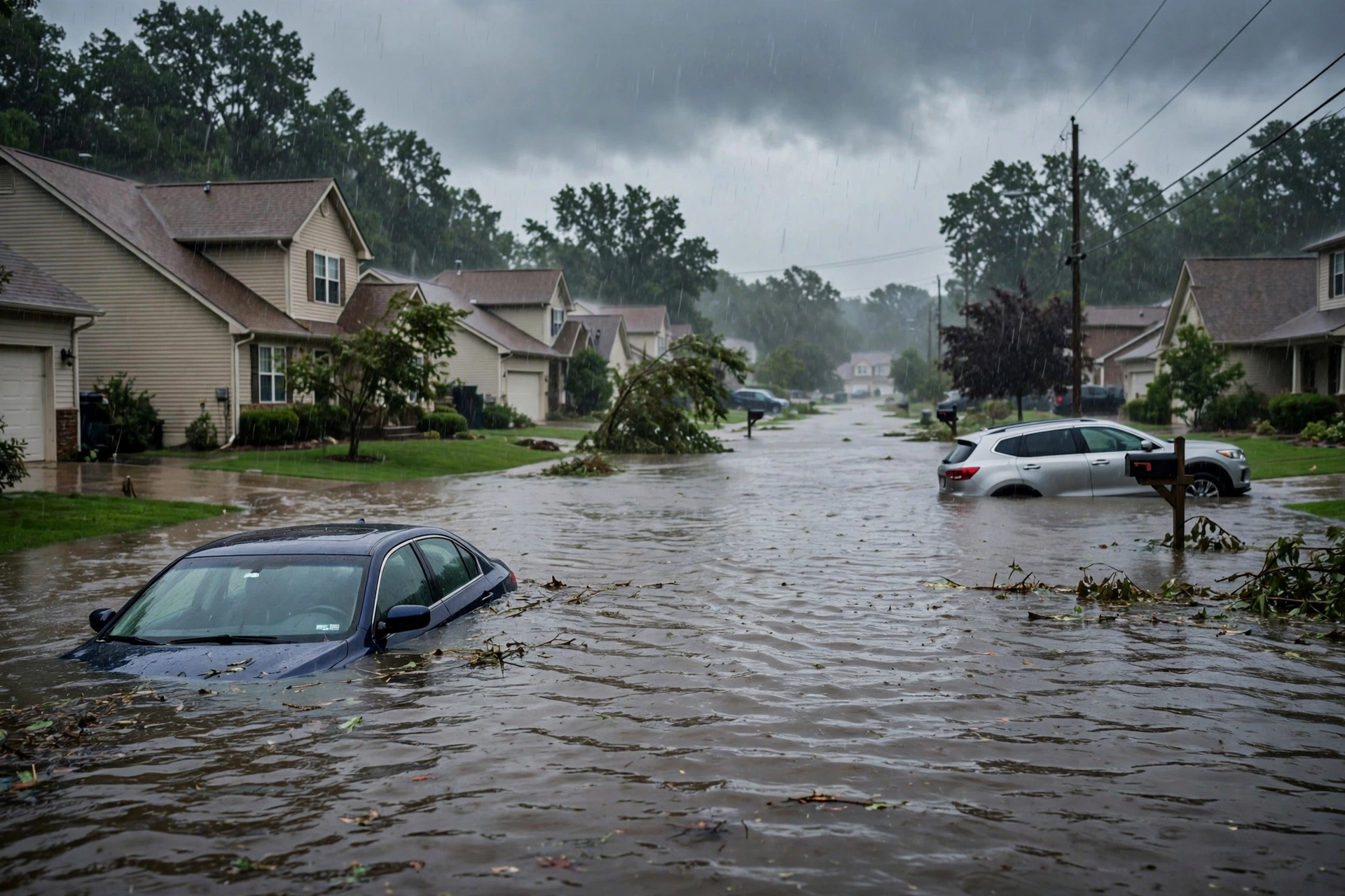
Residual heavy rain and flash flood potential is confined to far southeastern Texas under a WPC Slight Risk on already saturated soils from multi-day rainfall. The threat is expected to wane by late evening. Pacific Northwest sees possible sporadic lightning with the shortwave passage but low severe potential. No tropical threats.
Hotspots
Far southeastern Texas / Coastal Bend: WPC Slight Risk residual excessive rainfall on saturated soils (prior 4–10 inches near Kingsville and lower RGV). Active Flood Watch and Flash Flood Warnings have expired. Isolated to scattered flash flood threat continues into early afternoon before waning. Monitor low-water crossings and urban drainage.
South-central Texas residual: Elevated showers diminishing under the upper low. Additional light-to-moderate rain on wet ground. No severe probabilities.
Pacific Northwest coastal: Fast-moving shortwave may produce occasional lightning with shallow convection. Limited instability keeps severe risk low. No SPC categorical risk.
Just Hit
Prior rounds of heavy rain across South Texas produced 4–10 inches in spots, saturating soils and prompting Flood Watches and Flash Flood Warnings that have since expired. SPC storm reports show zero tornado, hail, or wind reports elevating the severe lane. No organized severe outbreak.
Pulse Table
| Lane | Status | Notes (as of ~9:18 PM PST Nov 9 / 05:18 UTC Nov 10 2026) |
|---|---|---|
| Tropical | None | No tropical cyclones in the Atlantic, Caribbean, or Gulf. Formation not expected next 7 days. TS Pena (CPAC) no U.S. mainland or Gulf threat. No U.S. coastal or Gulf watches or warnings. |
| Severe | None | SPC Day 1 (0100Z Nov 10): No severe thunderstorm areas forecast. Elevated storms in south TX diminishing; possible lightning PNW with low severe potential. No watches or MDs valid. Zero significant LSRs. |
| Flood | Slight | WPC Day 1 Slight Risk far southeastern Texas. Residual convection on saturated soils from prior 4–10+ inches. Isolated-scattered flash flood threat into early afternoon; waning later. Residual Flood Warnings in FL/AZ. No Moderate or higher. |
Restoration Read
Quiet Pulse with residual flood lane. Primary short-term ticket is flash flooding and rapid runoff in far southeastern Texas under the Slight Risk on already saturated soils. Additional rainfall prolongs localized water issues before the threat wanes. No organized severe damage expected. Monitor for water intrusion, debris, high water on roads. Turn around, don’t drown.
What This Is Not
This is a Quiet Pulse. No SPC Slight or higher severe risk on the latest Day 1 outlook. No WPC Moderate or higher excessive rainfall on Day 1. No tropical storm or hurricane watch or warning on the U.S. coast or Gulf. This desk summarizes public products from the SPC, WPC, NWS, and NHC.
Looking Ahead One Day
The residual Texas flood threat is expected to wane by late evening as the pattern degrades. Pacific Northwest shortwave passage with possible lightning but low severe potential. No significant severe or tropical threats indicated for Tuesday on current products.
Rising Queries
Trends unreachable.
Sources
- SPC Day 1 Convective Outlook: https://www.spc.noaa.gov/products/outlook/day1otlk.html
- WPC Day 1 Excessive Rainfall Outlook: https://www.wpc.ncep.noaa.gov/qpf/excessive_rainfall_outlook_ero.php
- NWS Watches/Warnings: https://www.weather.gov/wwamap/wwatxtget.php?cwa=usa&wwa=all
- NHC: https://www.nhc.noaa.gov/
- Morning desk: Storm Updates: Quiet Pulse — Nov 09 Morning
Disclaimer: This is a summary of official public products from the Storm Prediction Center, Weather Prediction Center, National Weather Service, and National Hurricane Center. Always check weather.gov and local forecasts for the latest information. Not a substitute for official warnings. Turn around, don’t drown.
Get The Signal
What we actually ran, what it measured, and what it means for a restoration shop — every week, including the flops.
Leave a Reply