A dangerous flash flood setup over a fresh burn scar
The National Weather Service in Grand Junction has issued a Flash Flood Warning for the Lee burn scar in central Rio Blanco County in northwestern Colorado, in effect until 9:00 PM MDT tonight. The warning was issued at 6:01 PM MDT.
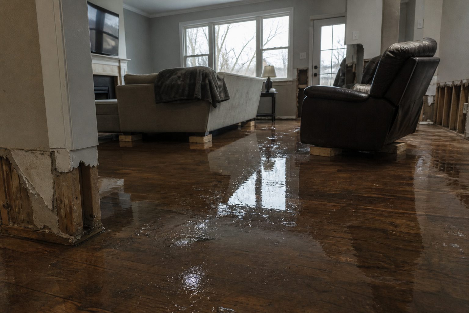
This is the exact interior-flooding scenario restoration teams know worst: a burn scar sheds water almost instantly, and the alert is explicit that debris flow — rock, mud, vegetation, and other loose material — can move across roads and driveways without much notice. This is a live snapshot as of 6:16 PM MDT on Saturday, September 19, 2026. Conditions change fast — always verify with the National Weather Service for your specific county or ZIP code.
Rio Blanco County — Flash Flood Warning
Issuing office: NWS Grand Junction, Colorado. Issued: 6:01 PM MDT, Saturday, September 19, 2026. Expires: 9:00 PM MDT.
The warning covers the Lee burn scar in central Rio Blanco County. Doppler radar indicated thunderstorms producing heavy rain over the scar, with between 0.3 and 0.5 inches of rain already fallen at issue time. The expected rainfall rate is 1 to 3 inches in 1 hour. Flash flooding is ongoing or expected to begin shortly, and the NWS states that excessive rainfall over the burn scar will result in debris flow consisting of rock, mud, vegetation, and other loose materials.
Hazard: Life-threatening flash flooding — thunderstorms producing flash flooding in and around the Lee Burn Scar. Source: radar indicated. Damage threat: considerable. Impact: life-threatening flash flooding of areas in and around the Lee Burn Scar. Locations expected to experience flooding are mainly rural areas of central Rio Blanco County.
Expected impacts per the alert: severe flash flooding of creeks, streams, and ditches in the Lee Burn Scar; severe debris flows anticipated across roads; roads and driveways may be washed away in places.
Verify directly: NWS Grand Junction and the alert on alerts.weather.gov.
Stay safe tonight
The NWS calls this a life-threatening situation — that language is reserved for the highest-threat flash flood warnings. If you are in or near the Lee burn scar area:
- Turn around, don’t drown. Most flood deaths occur in vehicles — never drive through flooded roadways. It takes just 6 inches of moving water to knock an adult off their feet and 12 inches to carry away a small car.
- If you encounter flood waters, climb to safety — the NWS’s direct instruction for this event.
- Do not attempt to travel unless you are fleeing an area subject to flooding or under an evacuation order.
- If water enters the home: stay out of standing water where electricity may be present, avoid the basement until water recedes and power is confirmed off, and photograph everything before any cleanup — documentation matters for insurance.
- Watch for debris flows on roads, which can arrive with little warning on a burn scar: if a road looks unstable, don’t test it.
What this means for restoration teams
This is the signature section for a reason: a burn-scar flash flood warning with a “considerable” damage threat is a high-probability water-intrusion event, and it lands in rural areas where response times are longer and homeowners have fewer options.
Damage categories to expect: interior water intrusion in homes near drainages and low-lying roads; saturated drywall and insulation from water entering at grade level; sewage backup where lift stations or septic systems flood; and structural damage to outbuildings, driveways, and access roads from debris flow. Mold risk follows on a 24–48 hour clock once porous materials get wet — and in rural counties, dehumidification capacity may be thin.
The play: stage equipment now — this warning runs through 9 PM MDT, which means water-intrusion calls can start as soon as water recedes and keep arriving through the night. Pre-position drying assets, keep an on-call rotation through the morning, and capture address + water source + affected areas on the first call. Burn-scar debris flow means the water source matters even more than usual: mud and debris infiltration is a different cleanup category than clear-water flooding.
Field discipline: photo-document before mitigation, moisture-map every affected room, and keep the homeowner’s payment responsibility clear in writing before work starts. Rural jobs have longer drive times — triage by water depth and source so the worst structures get the first trucks.
Local emergency contacts
Emergency: 911. Rio Blanco County Sheriff’s Office information hotline for recorded updates: 970-878-9555 (per the county’s official emergency page at rbc.us). Sign up for Rio Blanco Alerts (Reverse 911) for local alerts and evacuation information, and follow the Rio Blanco County Sheriff’s Office Facebook page for real-time updates during developing situations.
FEMA & federal assistance
If damage is extensive, federal help may become available. The FEMA Helpline is 1-800-621-3362 (7 a.m.–10 p.m. local, 7 days). You can also apply at DisasterAssistance.gov, through the FEMA app, or find recovery centers at fema.gov/drc.
Basic eligibility: citizenship or qualified status, identity verification, proof of occupancy or ownership, and unmet needs not covered by insurance. Apply as soon as it’s safe — and photograph and document damage before cleanup begins.
Looking ahead
The warning expires at 9:00 PM MDT tonight, but the hazard doesn’t automatically end then — the NWS may extend the warning if storms re-fire over the scar. Watch for additional rounds of thunderstorms this evening and for creeks and ditches to crest after rain stops. Expect the next NWS update on the standard warning cycle or sooner if conditions change.
Demand window: water-intrusion calls typically start within hours of water receding and keep coming for days as people discover damage — saturated drywall that looked fine at midnight can read as a must-fix by Monday. Debris-flow cleanup calls (driveways, outbuildings, access roads) follow a slower discovery curve than interior water jobs.
Sources & how to verify
Sources: the NWS alert (AWIPS identifier FFWGJT, VTEC /O.NEW.KGJT.FF.W.0129) issued by NWS Grand Junction; the NWS Grand Junction office page; the national active-alerts map at alerts.weather.gov.
To verify for your own county or ZIP: enter it at weather.gov, or check your local NWS office page directly. Warnings are polygon-based — a county name alone doesn’t tell you whether your street is inside the polygon.
This post is for informational purposes and is not an official weather warning. Always follow instructions from local authorities and the National Weather Service.
Leave a Reply