Live flash flood warning: Central Pecos County, Texas
The National Weather Service in Midland/Odessa has issued a Flash Flood Warning for central Pecos County in southwestern Texas, effective until 6:30 PM CDT on Saturday, September 19, 2026. This one carries weight: NWS tags the event with a CONSIDERABLE damage threat, the second-highest flash-flood threat level, and pushes it through wireless emergency alerts — a signal the office reserves for situations it considers dangerous and life-threatening. This is a live snapshot as of September 19, 2026, 2:45 PM PDT. Conditions change fast — always verify with the National Weather Service for your specific county or ZIP code.
Central Pecos County — Flash Flood Warning
Issued by NWS Midland/Odessa TX at 4:25 PM CDT on September 19, 2026, the warning expires at 6:30 PM CDT. Severity is rated Severe, with flooding Likely and an Immediate urgency. The flash flood damage threat is CONSIDERABLE, and the hazard wording is blunt: life threatening flash flooding caused by thunderstorms.
At 4:25 PM CDT, Doppler radar indicated thunderstorms producing heavy rain across the warned area. Between 1 and 2 inches of rain have already fallen — and the expected rainfall rate is 2 to 3 inches in 1 hour. That rate is what makes this warning different from a garden-variety heavy-rain alert: at two to three inches an hour, small creeks become rivers faster than anyone can drive around them. NWS states that flash flooding is ongoing or expected to begin shortly. The warning source is radar indicated.
The warned area is mainly rural areas of central Pecos County. This warning explicitly names the streams and drainages that will carry the flood: Big Canyon, Independence Creek, North Fork Independence Creek, and Nineteen Draw. Anyone with property, equipment, or livestock near those drainages should treat this as the warning it is — flash floods in West Texas canyon country arrive as a wall, not a rising puddle.
Expected impacts, per NWS: life threatening flash flooding of creeks and streams, urban areas, highways, streets and underpasses. Because this is rural country, the highway and underpass exposure matters most — remote crossings can be impassable with no alternate route, and cell coverage is thin in stretches of Pecos County, which means a stranded vehicle can become an emergency fast.
NWS pushed this warning through wireless emergency alerts, so anyone with a cell phone in the warned area should have already received the message: “NWS: FLASH FLOOD WARNING this area til 6:30 PM CDT. Avoid flooded areas.” The office’s longer message calls it “a dangerous and life-threatening situation” and advises: “Do not attempt to travel unless you are fleeing an area subject to flooding or under an evacuation order.” The VTEC identifier for this warning is /O.NEW.KMAF.FF.W.0191.260919T2125Z-260919T2330Z/. Check the alert directly through the NWS Midland/Odessa office page and the official alert source at api.weather.gov.
Stay safe tonight
Turn around, don’t drown when encountering flooded roads. Most flood deaths occur in vehicles. NWS is unusually direct in this warning’s emergency message: do not attempt to travel unless you are fleeing an area subject to flooding or under an evacuation order. In rural Pecos County, the rule carries extra force — low-water crossings over Independence Creek and its forks can hide a washed-out roadbed under six inches of water that looks like an inch.
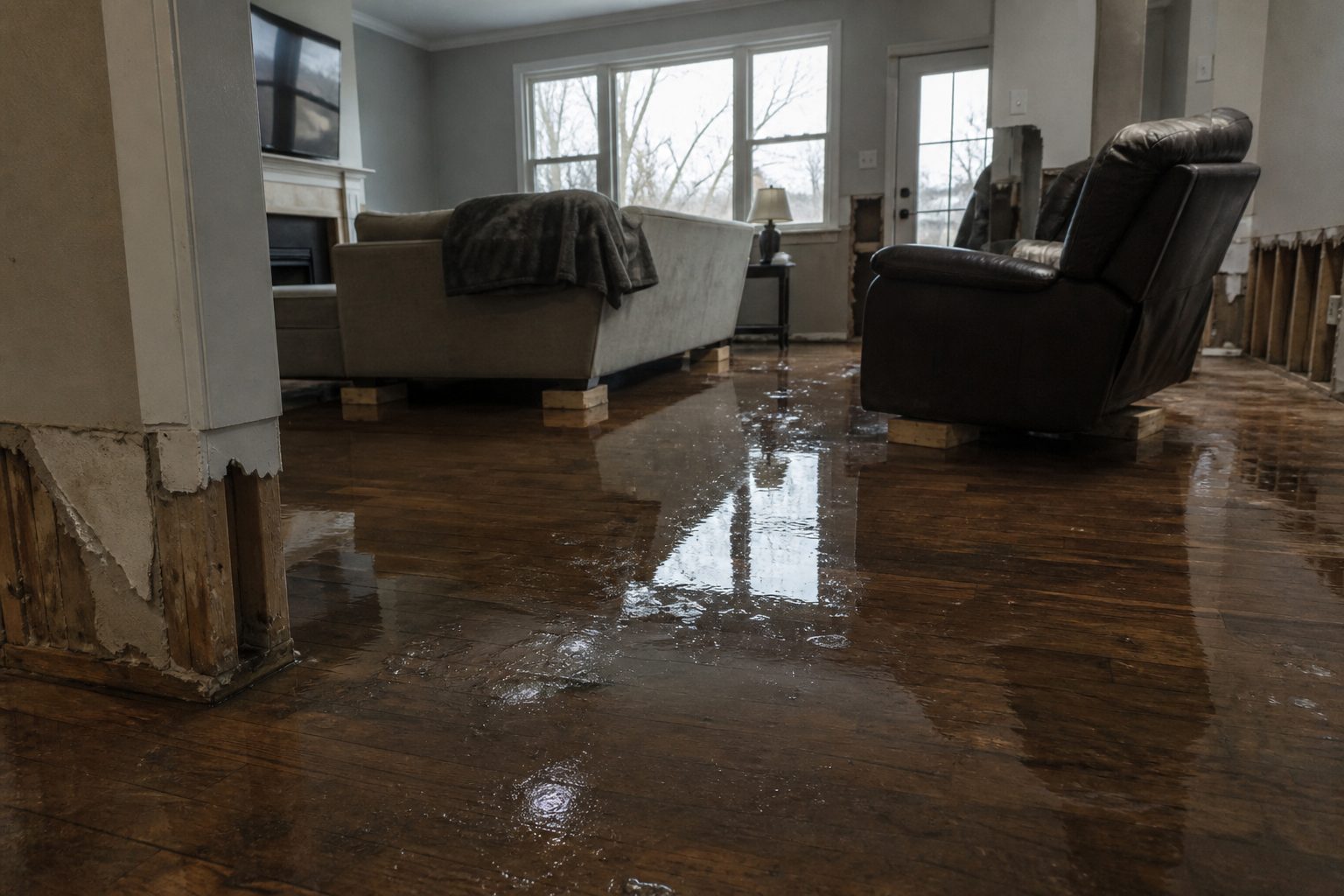
If water enters your home: stay out of standing water where electricity may be present, avoid the basement or lower level until water recedes and power is confirmed off, and photograph everything before cleanup — documentation matters for insurance. Then call a local restoration contractor. West Texas flash-flood water carries mud, debris, and whatever the creek picked up upstream, so this is not mop-and-fan work: it is category-3 territory that starts a second wave of damage within a day.
If you smell natural gas, hear hissing, or see structural cracking, get out and call 911 rather than re-entering to retrieve belongings. In ranch country, also account for livestock — moving animals early beats attempting it in the dark once water is rising.
What this means for restoration teams
A CONSIDERABLE-threat warning with a 2-to-3 inch-per-hour rainfall rate over rural drainages is the setup for a specific kind of loss: remote structures, ranch outbuildings, rural homes near creek beds, and the occasional vehicle caught at a low-water crossing. Water that falls this fast on dry West Texas ground doesn’t soak in — it runs, and what it runs through picks up silt, brush, and debris. Jobs that follow will carry contamination loads well beyond a clean-water loss, which changes the tear-out calculus and the equipment needed on the first visit.
The play for West Texas contractors: stage equipment now — dehumidifiers, air movers, and extraction gear ready to roll before the warning expires at 6:30 PM CDT. Rural dispatch windows are long; crews that roll after the calls stack up lose the first wave to distance alone. Keep an on-call rotation through the evening, because floodwater discoveries keep coming as people get home and find it in rooms they didn’t walk through at dusk. On the first call, capture the essentials before anything else: address, water source (creek overbank, drainage backup, roof/structural intrusion), and the affected areas of the structure.
Field discipline stays the same as anywhere else: photo-document before mitigation, moisture-map every affected room, and keep the homeowner’s payment responsibility clear in writing before work starts. In mud-heavy rural losses especially, what’s wet under the surface decides the scope — drywall that looks intact at the baseboard line may be saturated a foot up. Verify, don’t assume.
Local emergency contacts
Pecos County Emergency Management — Emergency Management Coordinator Jessie Dominguez, per the county’s official elected-officials listing at co.pecos.tx.us: 432-290-8067, Fort Stockton, TX. For life-threatening emergencies, dial 911.
FEMA & federal assistance
FEMA Helpline 1-800-621-3362 (7 a.m.–10 p.m. local, 7 days). Apply at DisasterAssistance.gov or through the FEMA app, and find in-person recovery centers at fema.gov/drc. Basic eligibility: citizenship or qualified status, identity verification, proof of occupancy or ownership, and unmet needs not covered by insurance. Apply as soon as it’s safe — don’t wait for a contractor’s invoice before starting the claim.
Looking ahead
The warning expires at 6:30 PM CDT — but the end of the warning is not the end of the risk. Creeks and draws in West Texas can crest after the rain stops, and saturated ground means any additional round of storms overnight floods faster than the first. Watch the sky and the NWS Midland/Odessa office page into the evening hours; the next update lands through the normal NWS alerting channels if conditions re-develop. NWS cancelled or extended nothing yet — this is a fresh /O.NEW. warning, so the evening’s trajectory depends on whether the warned storms sustain their current rainfall rate.
For contractors, the demand window is worth planning around: water-intrusion calls typically start within hours of water receding and keep coming for days as people discover damage — the outbuilding they don’t open until Sunday, the guest room they don’t walk into until the weekend. First-call capture discipline tonight is what fills the schedule next week.
Sources & how to verify
This post is built entirely from the official NWS alert: the Flash Flood Warning issued by NWS Midland/Odessa and the NWS Midland/Odessa TX office page. To verify for your own county or ZIP code, go to weather.gov and enter your ZIP, or check your local NWS office page directly. Warnings move fast — never rely on this post alone for current conditions.
This post is for informational purposes and is not an official weather warning. Always follow instructions from local authorities and the National Weather Service.
Leave a Reply