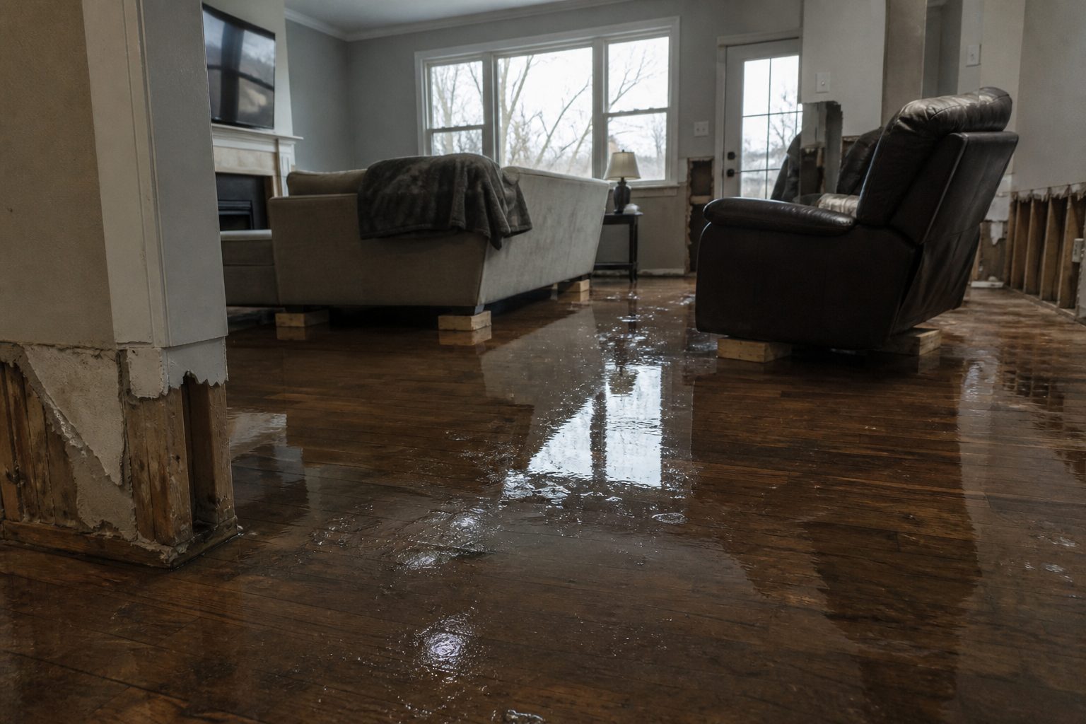
Live snapshot as of 9:20 PM EDT, Sunday, September 20, 2026. The National Weather Service in Wilmington, Ohio has issued a Flash Flood Warning for west central Greene County and southern Montgomery County — including Dayton, Kettering, and Beavercreek — in effect until 11:45 PM EDT. Radar indicates thunderstorms that have already dropped between 2 and 3 inches of rain across the warned area, and flash flooding is ongoing or expected to begin shortly. In a metro the size of Dayton, this rainfall rate turns streets into rivers and basements into reservoirs.
This is a live snapshot as of 9:20 PM EDT. Conditions change fast — always verify with the National Weather Service for your specific county or ZIP code.
Dayton Area — Flash Flood Warning
- Issuing office: National Weather Service Wilmington, Ohio (weather.gov/iln)
- Issued: 9:10 PM EDT, Sunday, September 20, 2026
- Expires: 11:45 PM EDT, Sunday, September 20, 2026
- Area: West central Greene County in west central Ohio; Southern Montgomery County in west central Ohio
- Hazard: Flash flooding caused by thunderstorms
- Source: Radar indicated
At 9:10 PM EDT, radar indicated thunderstorms producing heavy rain across the warned area. Between 2 and 3 inches of rain have fallen, with additional rainfall amounts up to 0.5 inches possible in the warned area. The NWS states flash flooding is ongoing or expected to begin shortly.
Impacts per the alert: Flash flooding of small creeks and streams, urban areas, highways, streets and underpasses, as well as other poor drainage and low-lying areas.
Locations that may experience flash flooding include: Dayton, Kettering, Beavercreek, Trotwood, Miamisburg, Bellbrook, Moraine, Oakwood, West Carrollton, Riverside, Germantown, New Lebanon, Farmersville, Centerville, Drexel, Woodbourne-Hyde Park, and Overlook-Page Mano. This includes I-75 in Ohio between mile markers 43 and 54.
The NWS instruction: turn around, don’t drown when encountering flooded roads — most flood deaths occur in vehicles. To report flash flooding, go to weather.gov/iln and submit a report via social media when it can be done safely.
Stay safe tonight
Turn around, don’t drown. Most flood deaths occur in vehicles — never drive through flooded roadways or around barricades. In an urban grid like Dayton’s, underpasses and low-lying intersections flood first and deepest. Six inches of moving water can knock you down; twelve inches can carry away a car.
If water is entering your home: stay out of standing water where electricity may be present, avoid the basement until the water recedes and power is confirmed off, and photograph everything before cleanup begins — documentation matters for insurance. Then call a local restoration contractor. Water left sitting doesn’t dry on its own — it starts a second wave of damage within a day.
It is dark out, and flooded roads are nearly impossible to judge at night. If you don’t need to be on the road, stay put until morning.
What this means for restoration teams
Three inches of rain on the Dayton metro is a volume play for water damage contractors. The call profile from this event: interior water intrusion in finished basements across Kettering, Beavercreek, and Centerville; saturated drywall and insulation wicking up from slab level; sewage backup in low-lying neighborhoods where stormwater overwhelms sanitary systems — the most urgent and most unpleasant jobs of the night.
Mold risk anywhere water sat on organic material — FEMA and the EPA note mold can begin growing within 24–48 hours on wet organic material. The alert notes up to 0.5 inches of additional rain possible as the warning runs to 11:45 PM.
The play tonight: stage equipment now — extraction units, dehumidifiers, air movers — and keep an on-call rotation through the morning. Capture address, water source, and affected areas on the first call; separate clean-water intrusions from suspected sewage backups at intake, because the mitigation protocol is completely different.
Field discipline: photo-document before any mitigation begins, moisture-map every affected room (water travels along slab and behind baseboards), and keep the homeowner’s payment responsibility clear in writing before work starts. In a metro-wide event, triage the actively-wetting and sewage-category jobs first.
FEMA & federal assistance
If the flooding turns out to be widespread, residents may eventually have access to federal assistance. The FEMA Helpline is 1-800-621-3362 (7 a.m.–10 p.m. local, 7 days a week). You can also apply at DisasterAssistance.gov, through the FEMA app, or visit fema.gov/drc for recovery centers if one is stood up in the area.
Basic eligibility: citizenship or qualified immigration status, identity verification, proof of occupancy or ownership, and unmet needs not covered by insurance. Apply as soon as it’s safe — but first, file with your insurer and document everything.
Looking ahead
The warning expires at 11:45 PM EDT. Creeks and streams can crest hours after the rain stops, and Low-water crossings and underpasses may stay dangerous well into the morning.
The next NWS update will land if the warning is extended, upgraded, or replaced — check weather.gov/iln before driving in the morning.
Sources & how to verify
- NWS alert: Flash Flood Warning, NWS Wilmington OH (API)
- Issuing office: NWS Wilmington, Ohio — weather.gov/iln
To verify for your own county or ZIP code: go to weather.gov and enter your location, or pull the active alerts for Ohio from the NWS alerts page for the Wilmington office.
This post is for informational purposes and is not an official weather warning. Always follow instructions from local authorities and the National Weather Service.
Leave a Reply