This is a live snapshot as of 6:59 PM CDT Sunday, September 20. Conditions change fast — always verify with the National Weather Service for your specific county or ZIP code.
Clay, IL — Tornado Warning
Tornado Warning issued September 20 at 6:59PM CDT until September 20 at 7:45PM CDT by NWS Lincoln IL
Issued by NWS Lincoln IL. Issue time: 6:59 PM CDT Sunday, September 20. Expires: 7:45 PM CDT Sunday, September 20.
TORILX
The National Weather Service in Lincoln has issued a
* Tornado Warning for…
Northern Clay County in south central Illinois…
Southwestern Effingham County in south central Illinois…
* Until 745 PM CDT.
* At 658 PM CDT, a severe thunderstorm capable of producing a tornado
was located over Edgewood, or 14 miles southwest of Effingham,
moving southeast at 35 mph.
HAZARD…Tornado.
SOURCE…Radar indicated rotation.
IMPACT…Flying debris will be dangerous to those caught without
shelter. Mobile homes will be damaged or destroyed.
Damage to roofs, windows, and vehicles will occur. Tree
damage is likely.
* This dangerous storm will be near…
Edgewood and Mason around 705 PM CDT.
Other locations in the path of this tornadic thunderstorm include
Bible Grove and Sailor Springs.
This includes Interstate 57 between mile markers 142 and 150.
Hail size (NWS parameters): Up to .75. Wind gust (NWS parameters): not specified in parameters.
Locations in the warning path, as listed by NWS:
- Tornado Warning for…
- Until 745 PM CDT.
- At 658 PM CDT, a severe thunderstorm capable of producing a tornado
- This dangerous storm will be near…
Warned area: Clay, IL; Effingham, IL
NWS office page: NWS Lincoln IL · Official NWS alert
Official NWS instructions
TAKE COVER NOW! Move to a basement or an interior room on the lowest
floor of a sturdy building. Avoid windows. If you are outdoors, in a
mobile home, or in a vehicle, move to the closest substantial shelter
and protect yourself from flying debris.
Stay safe right now
Take shelter immediately. Get to the lowest floor of a sturdy building, away from windows — an interior room or closet on the lowest level. Mobile homes and vehicles are not safe shelter. If caught outside with no shelter, lie flat in a low spot and cover your head.
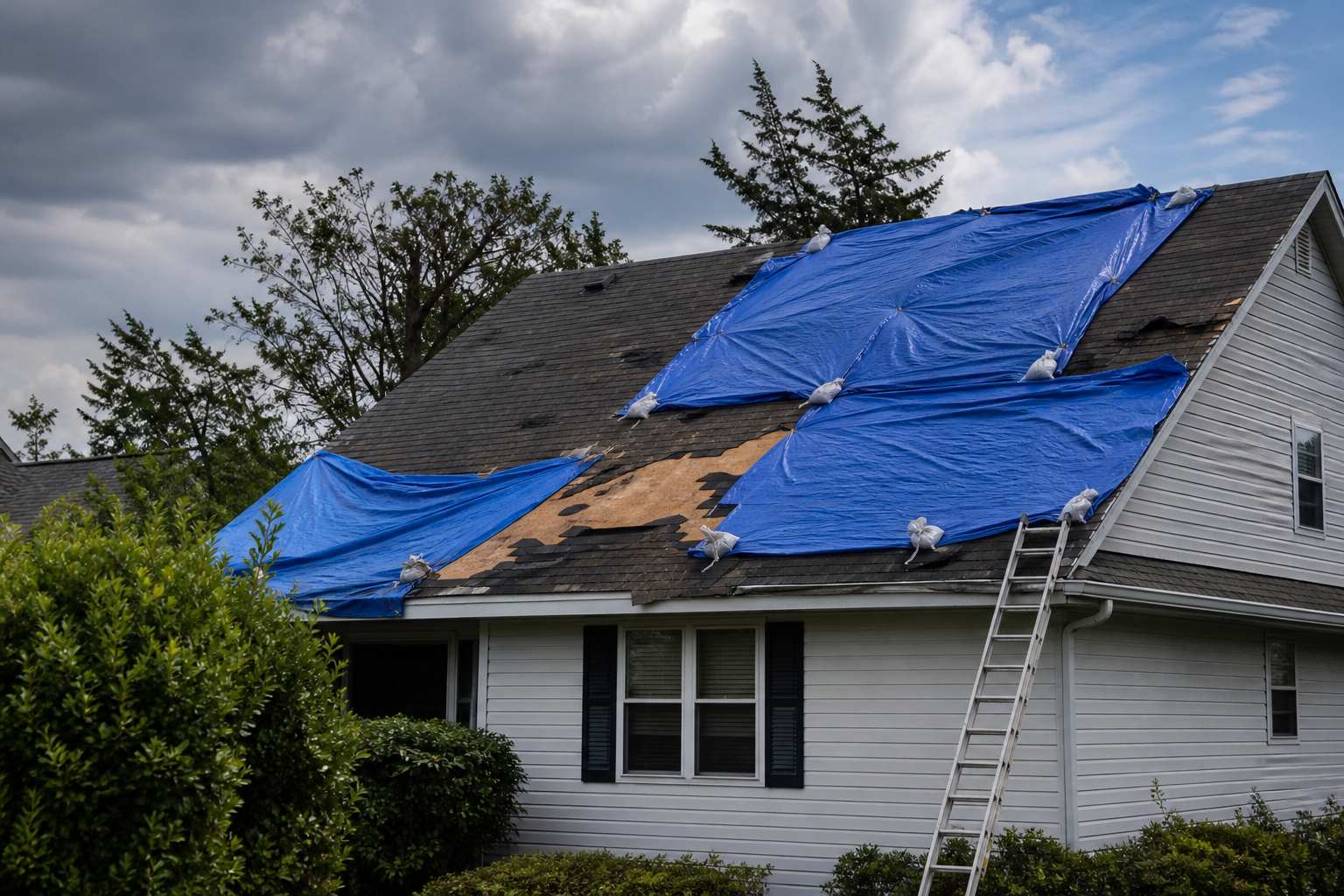
After the storm passes: stay out of damaged buildings until inspected, watch for downed power lines, and photograph all exterior and interior damage before any cleanup — documentation matters for insurance. Call a local restoration contractor for emergency tarping and board-up.
What this means for restoration teams
Translate this warning into job tickets: roof damage and emergency tarping, broken windows and siding, structural damage requiring board-up, and wind-driven rain intrusion through compromised building envelopes. Debris impact adds the unpredictable — fallen trees through roofs, projectiles through walls.
The play: pre-stage tarps, boards, and temporary roofing materials; keep crews on standby for emergency mitigation calls; capture address, damage type, and whether the structure is secure on the first call. Field discipline: photo-document everything before mitigation, separate wind damage from water damage in the scope (adjusters care), and get the homeowner’s payment responsibility clear in writing before work starts.
FEMA & federal assistance
FEMA & federal assistance
If the damage is severe, the FEMA Helpline is 1-800-621-3362 (7 a.m.–10 p.m. local, 7 days). Apply at DisasterAssistance.gov, through the FEMA app, or find a recovery center at fema.gov/drc. Basic eligibility: citizenship or qualified status, identity verification, proof of occupancy or ownership, and unmet needs not covered by insurance. Apply as soon as it’s safe.
Looking ahead
After the warning expires, the storm system may still produce severe weather — damaging straight-line winds and large hail often follow the tornado threat. Stay weather-aware overnight. For restoration teams: roof and exterior damage calls come first, then water-intrusion calls as wind-driven rain finds its way through compromised roofs and broken windows over the following days.
Sources & how to verify
Verify for your own county or ZIP at weather.gov or your local NWS office page.
This post is for informational purposes and is not an official weather warning. Always follow instructions from local authorities and the National Weather Service.
Leave a Reply