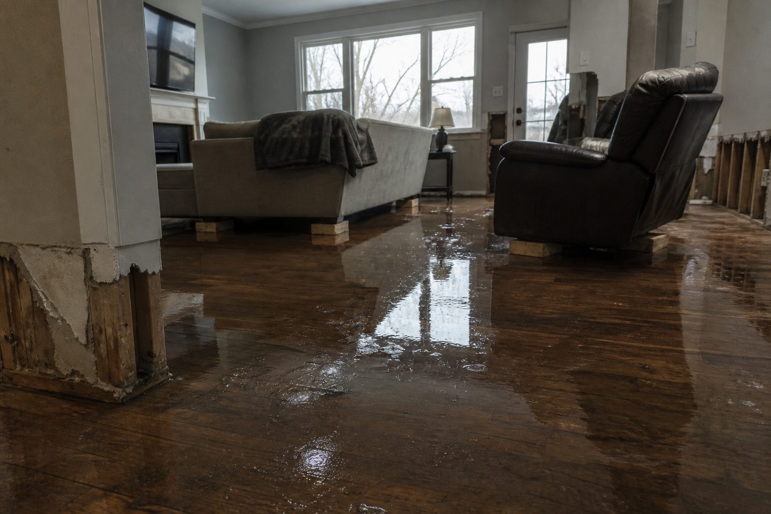
A Flash Flood Warning is active for northeastern Cochran County in northwestern Texas, issued by NWS Lubbock TX at 4:12 PM CDT on September 19, 2026 and running through 6:15 PM CDT. This is the kind of warning that feeds interior water jobs: Doppler-indicated thunderstorms dropping heavy rain on ground that has already taken 1 to 2 inches, with another 1 to 2 inches possible before the warning expires. This is a live snapshot as of September 19, 2026, 2:20 PM PDT. Conditions change fast — always verify with the National Weather Service for your specific county or ZIP code.
Northeastern Cochran County — Flash Flood Warning
The National Weather Service in Lubbock, Texas has issued a Flash Flood Warning for northeastern Cochran County, in northwestern Texas. The warning was issued at 4:12 PM CDT on September 19, 2026 and remains in effect until 6:15 PM CDT. Severity is rated Severe, with the flood event classified as Likely and the urgency Immediate.
Here is the hazard detail, verbatim from the alert: At 4:12 PM CDT, Doppler radar indicated thunderstorms producing heavy rain. Between 1 and 2 inches of rain have fallen. Additional 1 to 2 inches of rain are possible. Flash flooding is ongoing or expected to begin shortly. Source: radar indicated. The VTEC tag reads /O.NEW.KLUB.FF.W.0059.260919T2112Z-260919T2315Z/.
The locations named in the warning path are Morton and Lehman — the Morton/Lehman corridor in northeastern Cochran County is the focus area.
Expected impacts, straight from the alert: flash flooding of small creeks and streams, urban areas, highways, streets and underpasses as well as other poor drainage and low-lying areas. That list is familiar to anyone who has worked a High Plains event: urban street flooding where the grading sends water toward foundations, underpass and low-water-crossing trouble on the highways, and creeks and draws that rise fast on 1 to 2 inches of additional rain.
The alert source is NWS Lubbock TX alert feed, and the issuing office page is weather.gov/lub. The NWS headline for this warning: “Flash Flood Warning issued September 19 at 4:12PM CDT until September 19 at 6:15PM CDT by NWS Lubbock TX.”
Stay safe through the evening
The National Weather Service instruction on this warning is direct: “Turn around, don’t drown when encountering flooded roads. Most flood deaths occur in vehicles. Be aware of your surroundings and do not drive on flooded roads.” Do not drive across a flooded street or underpass in the Morton or Lehman area tonight — water depth on pavement is impossible to judge from the driver’s seat, and six inches of moving water is enough to knock an adult off their feet while a foot of water can move a vehicle.
If water gets into your home, stay out of standing water where electricity may be present. Stay out of the basement until water recedes and the power is confirmed off. Photograph everything before any cleanup begins — room by room, waterlines on walls, damaged contents. Documentation matters for insurance, and photos taken before anything is moved carry the most weight. Once it is safe, call a local restoration contractor: water left sitting starts a second wave of damage within a day.
The alert asks residents to report observed flooding to local emergency services or law enforcement and request that they pass the information to the National Weather Service when it is safe to do so. Real-time reports sharpen the next round of warnings for the whole county.
What this means for restoration teams
This is the signature setup for the interior water jobs restoration contractors see most: heavy rain, radar-indicated, over ground already saturated by 1 to 2 inches, with another 1 to 2 inches possible before 6:15 PM CDT. The impacts NWS lists — small creeks and streams, urban areas, highways, streets, underpasses, poor drainage and low-lying areas — translate directly into the job tickets that start coming in once the water recedes.
The play for the Morton/Lehman corridor: stage equipment now rather than after the phones start. Slab-on-grade homes and older properties along low-lying streets take water at the foundation line first — that means saturated drywall low on the walls, wet insulation in crawl spaces and wall cavities, and flooring that looks fine on top while the subfloor drinks it in. Underpass and street flooding sends sediment-laden water into garages and entry levels, which means Category 2 or Category 3 work depending on the water source — verify the source on the first call and document it, because it changes the entire mitigation plan.
The mold clock matters in West Texas heat. Mold risk on wet porous materials typically develops within 24 to 48 hours of water sitting — that window is the difference between a clean dry-out and a job that grows a second problem. Crews should be ready to get standing water extracted and air movement started the same day, not the next.
Field discipline for the calls that come in: photo-document everything before mitigation starts — waterlines, affected materials, the source path. Moisture-map every affected room, not just the one with visible water; water travels along base plates and under flooring to rooms that look dry. Capture the address, the water source, and the affected areas on the first call, because callbacks for “we found more” are expensive. And keep the homeowner’s payment responsibility clear in writing before work starts — flood events draw a crowd of out-of-area outfits, and a clean scope agreement protects both sides.
Demand window: water-intrusion calls typically start within hours of water receding and keep coming for days as people discover damage behind walls and under floors. The low-lying areas and poor-drainage pockets around Morton are where the late discoveries happen — the calls on day three and four are the ones that catch a shop off-guard.
FEMA & federal assistance
The FEMA Helpline is 1-800-621-3362, open 7 a.m. to 10 p.m. local time, seven days a week. You can also apply at DisasterAssistance.gov, through the FEMA mobile app, or visit fema.gov/drc to find a Disaster Recovery Center near you.
Basic eligibility: citizenship or qualified immigration status, identity verification, proof of occupancy or ownership, and unmet needs not covered by insurance. Apply as soon as it is safe to do so — the application can be updated as the full scope of damage becomes clear.
Looking ahead
The warning expires at 6:15 PM CDT. When it lifts, the hazard does not end on a clock: creeks and draws can crest after the rain stops, and additional rounds of thunderstorms can trigger a new warning if the atmosphere reloads. Watch overnight for any extension or new issuance from NWS Lubbock, and check weather.gov/lub before any evening travel across the county.
The next NWS update lands when conditions warrant — new warnings or extensions post to the same alert feed and the office page. For restoration operators, the demand note bears repeating: water-intrusion calls typically start within hours of water receding and keep coming for days as people discover damage. Keep an on-call rotation through the morning and pre-position drying assets tonight so the first calls do not become missed calls.
Sources & how to verify
- NWS alert source: Flash Flood Warning, northeastern Cochran County TX, issued 4:12 PM CDT Sept 19, 2026
- Issuing office: NWS Lubbock TX — weather.gov/lub
To verify for your own county or ZIP code, go to weather.gov, enter your location, and check the active alerts box — or go straight to your local NWS office page for the latest warnings.
This post is for informational purposes and is not an official weather warning. Always follow instructions from local authorities and the National Weather Service.
Leave a Reply