This is a live snapshot as of Saturday, September 19, 2026, at about 4:35 PM PDT (5:35 PM MDT). Conditions change fast — always verify with the National Weather Service for your specific county or ZIP code.
The National Weather Service in El Paso/Santa Teresa has issued a Flash Flood Warning for Sierra County, New Mexico, in effect until 7:15 PM MDT today. Doppler radar indicated thunderstorms producing heavy rain across the warned area, with between 2.5 and 3.5 inches of rain already fallen. The NWS classifies the hazard as life-threatening flash flooding of creeks and streams, urban areas, highways, streets and underpasses — and damage threat is rated CONSIDERABLE. For restoration teams in southern New Mexico, this is the pattern that produces the worst surprises: water continuing to drain through canyons and arroyos long after the rain itself has stopped.
Sierra County, NM — Flash Flood Warning
Issued by: NWS El Paso Tx/Santa Teresa NM · Issued: 5:17 PM MDT, September 19 · Expires: 7:15 PM MDT, September 19
Hazard detail, per the NWS alert:
- At 5:17 PM MDT, Doppler radar indicated thunderstorms producing heavy rain across the warned area.
- Between 2.5 and 3.5 inches of rain have fallen. Flooding impacts will continue, but no additional rainfall is expected.
- Flash flooding is ongoing or expected to begin shortly.
- Hazard: life-threatening flash flooding. Thunderstorms producing flash flooding.
- Source: radar indicated.
- Impacts: life-threatening flash flooding of creeks and streams, urban areas, highways, streets and underpasses.
Named locations: Alamosa Canyon is specifically called out. The NWS notes water may take some time to drain through canyons and arroyos toward upper Lake Shore Road and Elephant Butte Reservoir.
This warning (VTEC /O.CON.KEPZ.FF.W.0151) remains in effect for north central Sierra County. It follows an earlier Sierra County warning covering northwest portions of the county through 5:45 PM MDT — this is a separate alert for north central Sierra County with its own expiry.
Issuing office: NWS El Paso / Santa Teresa. Alert source: NWS API alerts feed.
NWS instructs: “Turn around, don’t drown when encountering flooded roads. Most flood deaths occur in vehicles.” And: “Be aware of your surroundings and do not drive on flooded roads.”
Stay safe this evening
Flood water is never just water. Most flood deaths occur in vehicles — never drive through a flooded roadway, and never trust a water-covered dip in the road: it takes only a foot or two of moving water to carry a car. In the desert Southwest, arroyos and normally-dry canyons are the highest risk: they can go from dust to raging currents in minutes from rainfall that fell miles away and minutes earlier.
If water enters a home or building: stay out of standing water where electricity may be present; avoid basements or below-grade rooms until water recedes and power is confirmed off; photograph everything before cleanup (documentation matters for insurance); then call a local restoration contractor — water left sitting starts a second wave of damage within a day. In Sierra County specifically, with water draining toward Elephant Butte Reservoir, watch low-lying roads and crossings even where skies look clear: the drain-down continues after the rain stops.
What this means for restoration teams
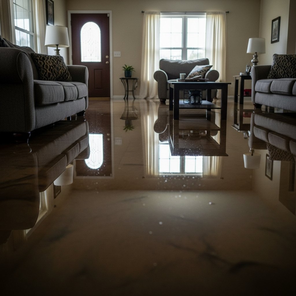
This warning profile — 2.5 to 3.5 inches of rain, life-threatening flooding of creeks, streams, urban areas, highways, streets and underpasses — is the classic interior water-intrusion package for this part of southern New Mexico. Expected loss profile over the next 12–48 hours:
- Interior water intrusion at low-lying structures near Alamosa Canyon, upper Lake Shore Road, and drainage routes toward Elephant Butte Reservoir.
- Saturated drywall and insulation where water enters at grade or through garage doors and low windows.
- Mold risk within 24–48 hours on anything wet that isn’t dried properly — desert heat speeds microbial growth on saturated organic materials.
- Contamination questions where floodwater mixes with septic, agricultural runoff, or roadway chemicals — document source on intake.
The play: stage equipment now, pre-position drying assets before the evening call window, keep an on-call rotation through the morning, and capture address + water source + affected areas on the first call. Field discipline: photo-document before mitigation, moisture-map every affected room, keep the homeowner’s payment responsibility clear in writing before work starts. Water from a draining canyon system keeps arriving after the warning expires — teams should expect the first calls tonight and a second wave of discovered damage tomorrow and Monday.
FEMA & federal assistance
If the damage proves significant, the federal route is standard: the FEMA Helpline is 1-800-621-3362 (7 a.m.–10 p.m. local, 7 days). You can also apply at DisasterAssistance.gov, through the FEMA app, or find a recovery center at fema.gov/drc. Basic eligibility: citizenship or qualified status, identity verification, proof of occupancy or ownership, and unmet needs not covered by insurance. Apply as soon as it is safe — don’t wait for water to finish draining.
Looking ahead
This warning expires at 7:15 PM MDT. But expiry is not the all-clear: the NWS specifically notes water will take time to drain through canyons and arroyos toward upper Lake Shore Road and Elephant Butte Reservoir, meaning crossings and low roads can remain dangerous — and still be flooding structures — after the warning drops. Watch for additional rounds: Doppler radar indicated the heavy rain, but the storm pattern behind this evening’s cells determines whether a fresh warning follows. The next NWS update lands with any new warning or when conditions change.
Demand window: water-intrusion calls typically start within hours of water receding and keep coming for days as people discover damage. Restoration teams serving Truth or Consequences, Elephant Butte, and surrounding Sierra County communities should treat tonight as intake-prep and the next 72 hours as the working window.
Sources & how to verify
- NWS alerts feed (api.weather.gov) — live alert data
- NWS El Paso / Santa Teresa office page — warnings and discussion for southern New Mexico
To verify for your own county or ZIP: check weather.gov, enter your location, or visit the issuing NWS office page linked above.
This post is for informational purposes and is not an official weather warning. Always follow instructions from local authorities and the National Weather Service.
Leave a Reply