Flash Flood Warning: Sierra County NM Area Until 5:00 PM MDT
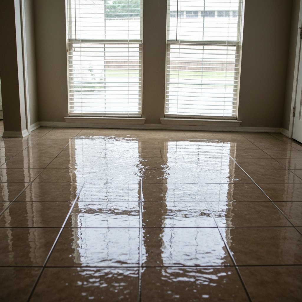
The National Weather Service office in El Paso, Texas/Santa Teresa, New Mexico has issued a Flash Flood Warning for North Central Sierra County in south central New Mexico, effective until 5:00 PM MDT on Saturday, September 19, 2026. Doppler radar indicated thunderstorms producing heavy rain, with up to 1.3 inches of rain already fallen and flash flooding ongoing or expected to begin shortly. For restoration teams in southern New Mexico, this is the exact interior-flooding job profile — arroyo-fed water in rural structures, saturated adobe and drywall, and a mold clock that starts ticking within a day.
This is a live snapshot as of September 19, 2026, 2:20 PM PDT. Conditions change fast — always verify with the National Weather Service for your specific county or ZIP code.
North Central Sierra County — Flash Flood Warning
Issuing office: NWS El Paso Tx/Santa Teresa NM (https://www.weather.gov/epz/). Issued: 3:01 PM MDT, September 19, 2026. Expires: 5:00 PM MDT, September 19, 2026. VTEC code: /O.NEW.KEPZ.FF.W.0149.260919T2101Z-260919T2300Z/. Severity is listed as Severe, certainty Likely, urgency Immediate.
What the radar shows: At 3:01 PM MDT, Doppler radar indicated thunderstorms producing heavy rain across the warned area. Up to 1.3 inches of rain have fallen. Additional rainfall of up to 1 inch is possible in the warned area. Flash flooding is ongoing or expected to begin shortly. The hazard source is radar indicated.
Location in the path: Alamosa Canyon.
Expected impacts, verbatim from the alert: flash flooding of small creeks and streams, urban areas, highways, streets and underpasses as well as other poor drainage and low-lying areas.
Read the official alert text at the NWS API: https://api.weather.gov/alerts/urn:oid:2.49.0.1.840.0.c252334f25d5e15578c0656cb9ecd27dff12178c.001.1
Stay safe during flash flooding
Turn around, don’t drown when encountering flooded roads. Most flood deaths occur in vehicles. Never attempt to drive through water covering a roadway — the depth is unknowable from the driver’s seat, and a foot of moving water can sweep a vehicle off the road.
Remain alert for flooding even in locations not receiving rain. In Sierra County, arroyos, streams, and rivers can become raging killer currents in a matter of minutes, even from distant rainfall. If you are near Alamosa Canyon or any dry wash, move to higher ground now and stay there until the warning expires.
If water enters your home or building: stay out of standing water where electricity may be present — water and live electrical systems are a lethal combination. Avoid basements and low rooms until water recedes and power is confirmed off. Photograph everything before any cleanup begins — thorough documentation matters for insurance claims. Then call a local restoration contractor; water left sitting starts a second wave of damage within a day, and in the desert Southwest, wicking up adobe and stucco walls begins quickly.
What this means for restoration teams
A radar-indicated flash flood warning over rural Sierra County is the classic arroyo-driven interior water-intrusion profile. The mechanism here isn’t a river overflowing its banks — it’s fast-moving runoff from thunderstorms collecting in normally dry washes like Alamosa Canyon and spilling into low-lying structures. In rural south-central New Mexico, that means single-story adobe and stucco homes, older foundations without modern drainage, and dirt or gravel access roads that become impassable while the work order is still warm.
Damage categories to expect: interior water intrusion at the slab line and through door thresholds; saturated adobe, stucco, drywall, and insulation along lower wall sections; water pushing under flooring and into crawl spaces. The mold clock runs 24 to 48 hours in this region — once water wicks into porous wall materials, drying assets need to be on site fast or the category of the loss escalates.
The play: stage equipment now rather than waiting for the first call. Pre-position air movers and dehumidifiers, keep an on-call rotation running through the evening, and plan for the rural staging reality of Sierra County — crews traveling out from Truth or Consequences or Hatch face flooded low-water crossings and washouts that can double response times. Fuel up, confirm vehicle staging on high ground, and confirm which low crossings your route uses before dispatch.
First-call capture: on the first call, capture three things every time — the service address, the water source (arroyo runoff, wash overflow, standing rainfall, or intrusion through a specific entry point), and the affected areas (rooms, wall sections, flooring types). That record drives the loss category, the drying plan, and the insurance documentation.
Field discipline: photo-document every affected surface before mitigation begins, moisture-map every affected room rather than just the visibly wet ones, and keep the homeowner’s payment responsibility clear in writing before work starts. In a rural county with limited contractor coverage, clear documentation and clear terms are what separate a clean claim from a disputed one.
FEMA & federal assistance
If your home or business takes serious damage, federal help may be available after a disaster declaration. The FEMA Helpline is 1-800-621-3362 (7 a.m.–10 p.m. local time, 7 days a week). You can also apply and check status at DisasterAssistance.gov, use the FEMA mobile app, or find a recovery center at fema.gov/drc.
Basic eligibility requirements include U.S. citizenship or qualified non-citizen status, identity verification, proof of occupancy or ownership, and unmet needs not covered by insurance. Apply as soon as it’s safe to do so — you do not have to wait for the full extent of damage to be assessed.
Looking ahead
The warning runs through 5:00 PM MDT Saturday. When a flash flood warning expires, the hazard doesn’t always end with it — water moves downhill after the rain stops, so creeks and arroyos in Sierra County can keep running high into the evening even once the storms pass. Watch for additional thunderstorm rounds later today: the monsoon pattern in southern New Mexico can refire over the same terrain, and a second wave of rainfall onto saturated ground floods faster than the first.
The next NWS updates will land through the El Paso/Santa Teresa office page and the regular NWS alert feed — check weather.gov and enter your county or ZIP code for the current status before traveling anywhere near the warned area tonight.
The demand window: water-intrusion calls typically start within hours of water receding and keep coming for days as people discover damage — warped flooring, musty odors, wicking walls. Contractors serving Sierra County should expect the call volume to build through Saturday evening and into early next week.
Sources & how to verify
- NWS alert text: Flash Flood Warning, North Central Sierra County (api.weather.gov)
- Issuing office: NWS El Paso Tx/Santa Teresa NM
- NWS headline: “Flash Flood Warning issued September 19 at 3:01PM MDT until September 19 at 5:00PM MDT by NWS El Paso Tx/Santa Teresa NM”
To verify for your own county or ZIP code, go to weather.gov and enter your location, or pull the current alerts feed from your local NWS office page.
This post is for informational purposes and is not an official weather warning. Always follow instructions from local authorities and the National Weather Service.
Leave a Reply