Tropical: None · Severe: Marginal · Flood: Slight
What Changed
- SPC Day 1 Convective Outlook (1300 UTC / 0700 AM CST Sun Nov 15 2026 by Guyer/Mead, valid 151300Z–161200Z) holds a Marginal Risk of severe thunderstorms across the lower/middle Texas coast (primarily within 50–75 miles of the coast). This is a shift from the prior afternoon pulse table (quiet-pulse-2026-11-14-afternoon: Marginal over West Texas / Lubbock vicinity for hail). No Slight or higher. No watches or mesoscale discussions valid. Widely scattered strong storms possible this afternoon with some severe potential, mainly near the stalled front; Corpus Christi 12Z sounding sampled ~2000 J/kg MUCAPE and 50 kt shear.
- WPC Day 1 Excessive Rainfall Outlook (updated 0814 UTC Sun Nov 15 2026 / ~3:14 AM EST, valid 12Z Nov 15–12Z Nov 16 by Bann) introduces a Slight Risk of excessive rainfall across portions of coastal Texas (heaviest axis between Houston and Corpus Christi). Upgrade from the prior afternoon desk’s Quiet/Marginal posture (northwest Washington and portions of Texas Marginal only). Marginal maintained with some inland trimming. Heaviest rainfall expected to wrap up by midnight Monday. 24-hr 5″ RRFS exceedance probabilities 20–60% in the core.
- NHC Atlantic, Eastern Pacific, and Central Pacific Tropical Weather Outlooks (as of morning Nov 15 UTC): Tropical cyclone formation is not expected during the next 7 days. No tropical cyclones in the Atlantic, Caribbean, Gulf of America, Eastern Pacific, or Central Pacific. No tropical storm or hurricane watch or warning on the U.S. coast or Gulf. No change. Gale Warning noted in northern Gulf of America from pressure gradient, not tropical.
- NWS watches/warnings: Residual Blizzard Warnings on northern Alaska Arctic Coast (until ~noon AKST), Flood Warnings in parts of Florida, Arizona, Texas (McMullen County), Washington, and High Surf Warnings on West Coast. No national elevation of severe or flood lanes beyond the Texas Slight ERO and Marginal SPC. Overnight LSRs limited; no significant verifying severe overnight in the prior West Texas corridor.
Live Status
As of the morning desk on Sunday, November 15, 2026 (approximately 7:21 AM PST / 10:21 AM EST / 1521Z), the national picture remains a Quiet Pulse. Quiet criteria hold: nothing at SPC Slight or above, no WPC ERO Moderate or above, and no tropical storm or hurricane watch or warning on the U.S. coast or Gulf.
The Storm Prediction Center’s latest Day 1 Convective Outlook holds a Marginal Risk focused on the middle to lower Texas coastal areas. Stronger storms may stay offshore in richer maritime air, but some severe potential could materialize inland this afternoon before the front shifts offshore by early evening. Organized severe remains unlikely.
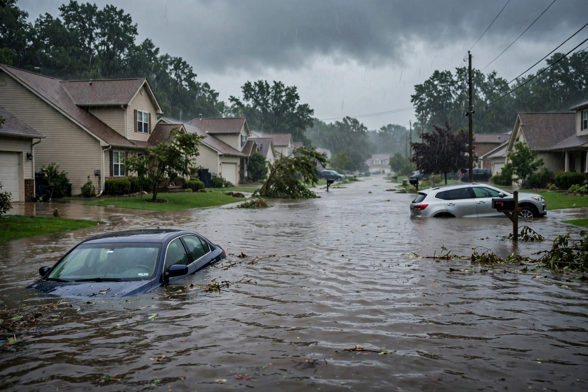
WPC Day 1 has upgraded the flood lane to Slight Risk for portions of coastal Texas. An upper trough digging southeastward supports convection reigniting this afternoon as instability builds. Flash flooding issues expected to be isolated to scattered, mainly urban, roads, small streams, and low-lying areas between Houston and Corpus Christi. Surrounding Marginal risk trimmed inland.
No named tropical cyclone threatens or has just hit the U.S. coast or Gulf of America. Residual winter products continue in northern Alaska Arctic Coast (Blizzard Warnings) and Sierra Nevada mountain snow. These do not open a national severe or higher flood lane.
Hotspots
Coastal Texas (Houston to Corpus Christi / Matagorda Bay vicinity): Primary ticket. WPC Slight Risk excessive rainfall. Heaviest rain axis shifted closer to the coast. Population centers include Houston, Corpus Christi, Galveston, Sugar Land, Lake Jackson. Isolated flash flooding possible with training storms. Concurrent SPC Marginal for a couple of strong storms with hail or gusty winds possible near the coast. Monitor local NWS products for short-fuse warnings.
Northern Alaska Arctic Coast: Blizzard Warnings continue through this morning with light additional snow and winds gusting to 60 mph. Travel restricted to emergencies. Remote; no restoration impact for lower 48.
Pulse Table
| Lane | Status | Notes (as of ~1521Z Nov 15 / 7:21 AM PST Nov 15 2026) |
|---|---|---|
| Tropical | None | No TC in Atlantic, Caribbean, Gulf of America, EPAC, or CPAC. NHC formation not expected next 7 days. No U.S. coastal or Gulf watches or warnings. Gale Warning in northern Gulf from non-tropical gradient. |
| Severe | Marginal | SPC Day 1 (1300Z Nov 15): Marginal Risk lower/middle Texas coast. Shifted from prior West Texas hail corridor. No watches or MDs valid. Below Slight threshold. Isolated strong storms possible this afternoon. |
| Flood | Slight | WPC Day 1 ERO: Slight Risk portions of coastal Texas (Houston–Corpus Christi axis). Upgrade from prior Marginal/Quiet. Heaviest rain through midnight. Isolated to scattered flash flood potential. No Moderate or above. |
Rising Queries
- Houston weather
- Corpus Christi flood
- Texas coast flood risk
- Matagorda Bay rain
- Galveston storm
Search interest centers on the Texas coastal rain and flood threat. Trends data not fully accessible this run; queries drawn from active coverage of the Slight ERO and local NWS products.
Restoration Read
Quiet Pulse with an elevated flood lane. Primary short-term ticket is isolated to scattered flash flooding and urban runoff along the Texas coast under the Slight Risk, particularly Houston metro to Corpus Christi corridor on potentially saturated soils from recent rain. Secondary is low-end severe (hail/gusts) in the same Marginal area. No widespread structural wind or tornado tickets. Residual Alaska blizzard is remote. Standard quiet-day posture: monitor weather.gov for county-level Flood Warnings and any short-fuse products. Turn around, don’t drown.
What This Is Not
This is a Quiet Pulse. Not an official warning. No SPC Slight or higher severe risk. No WPC Moderate or higher excessive rainfall. No tropical storm or hurricane watch or warning on the U.S. coast or Gulf. Isolated Marginal severe and Slight flood confined to coastal Texas.
Informational only — not an official warning. Follow local authorities and the National Weather Service. Sources: spc.noaa.gov, wpc.ncep.noaa.gov, weather.gov, nhc.noaa.gov. Turn around, don’t drown.
Get The Signal
What we actually ran, what it measured, and what it means for a restoration shop — every week, including the flops.
Leave a Reply