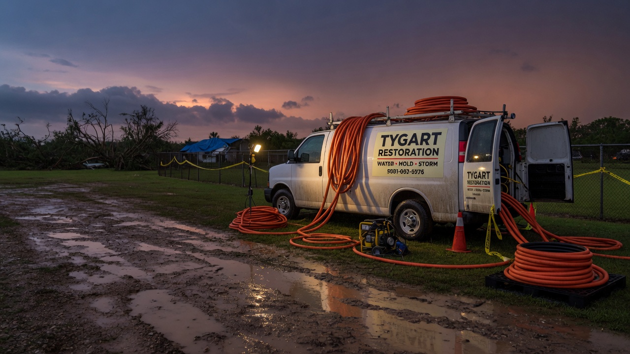
This is a live snapshot as of 11:22 PM EDT Sunday, September 20. Conditions change fast — always verify with the National Weather Service for your specific county or ZIP code.
Gallia, OH — Flash Flood Warning
Flash Flood Warning issued September 20 at 11:22PM EDT until September 21 at 5:15AM EDT by NWS Charleston WV
Issued by NWS Charleston WV. Issue time: 11:22 PM EDT Sunday, September 20. Expires: 5:15 AM EDT Monday, September 21.
FFWRLX
The National Weather Service in Charleston has issued a
* Flash Flood Warning for…
Northeastern Gallia County in southeastern Ohio…
Southeastern Meigs County in southeastern Ohio…
Northwestern Jackson County in northwestern West Virginia…
Northern Mason County in western West Virginia…
* Until 515 AM EDT.
* At 1122 PM EDT, Doppler radar indicated thunderstorms producing
heavy rain across the warned area. Between 1 and 3 inches of rain
have fallen. Additional rainfall amounts of 1 to 2 inches are
possible in the warned area. Flash flooding is ongoing or expected
to begin shortly.
HAZARD…Flash flooding caused by thunderstorms.
SOURCE…Radar indicated.
IMPACT…Flash flooding of small creeks and streams, urban areas,
highways, streets and underpasses as well as other poor
drainage and low-lying areas.
* Some locations that will experience flash flooding include…
Point Pleasant, Gallipolis, Pomeroy, Rio Grande, Racine,
Ravenswood, New Haven, Mason, Middleport, Syracuse, Hartford City,
Henderson, Vinton, Cheshire, Adamsville, Lakin, Kyger, Letart,
Mount Alto and Cottageville.
This includes Interstate 77 in West Virginia between mile markers 141
and 143.
Hail size (NWS parameters): not specified in parameters. Wind gust (NWS parameters): not specified in parameters.
Locations in the warning path, as listed by NWS:
- Flash Flood Warning for…
- Until 515 AM EDT.
- At 1122 PM EDT, Doppler radar indicated thunderstorms producing
- Some locations that will experience flash flooding include…
Warned area: Gallia, OH; Meigs, OH; Jackson, WV; Mason, WV
NWS office page: NWS Charleston WV · Official NWS alert
Official NWS instructions
Turn around, don’t drown when encountering flooded roads. Most flood
deaths occur in vehicles.
Be especially cautious at night when it is harder to recognize the
dangers of flooding.
Be aware of your surroundings and do not drive on flooded roads.
Report flooding to the National Weather Service by calling toll free,
800 401 9535, when you can do so safely.
Stay safe tonight
Turn around, don’t drown. Most flood deaths happen in vehicles — never drive through flooded roadways; six inches of moving water can knock you down, twelve inches can carry a car.
If water enters the home: stay out of standing water where electricity may be present, avoid the basement until water recedes and power is confirmed off, photograph everything before cleanup (documentation matters for insurance), then call a local restoration contractor — water left sitting starts a second wave of damage within a day.
What this means for restoration teams
Translate this warning into job tickets: interior water intrusion through doors, windows, and foundation seepage; saturated carpet and pad; drywall wicking that shows up as a waterline hours later; and mold risk within 24–48 hours wherever porous materials stayed wet. Low-lying areas and urban drainage failures also bring sewage backup calls — the highest-margin, highest-urgency work.
The play: stage extraction and drying equipment now, pre-position dehumidifiers and air movers, keep an on-call rotation through the morning, and capture address, water source, and affected areas on the first call. Field discipline: photo-document before mitigation, moisture-map every affected room, and get the homeowner’s payment responsibility clear in writing before work starts.
FEMA & federal assistance
FEMA & federal assistance
If the damage is severe, the FEMA Helpline is 1-800-621-3362 (7 a.m.–10 p.m. local, 7 days). Apply at DisasterAssistance.gov, through the FEMA app, or find a recovery center at fema.gov/drc. Basic eligibility: citizenship or qualified status, identity verification, proof of occupancy or ownership, and unmet needs not covered by insurance. Apply as soon as it’s safe.
Looking ahead
When this warning expires, the danger is not automatically over. Creeks and small streams can crest hours after the rain stops, and additional rounds of storms can re-trigger warnings. Watch for NWS updates overnight. For restoration contractors: water-intrusion calls typically start within hours of water receding and keep coming for days as homeowners discover damage behind walls and under flooring.
Sources & how to verify
Verify for your own county or ZIP at weather.gov or your local NWS office page.
This post is for informational purposes and is not an official weather warning. Always follow instructions from local authorities and the National Weather Service.
Leave a Reply