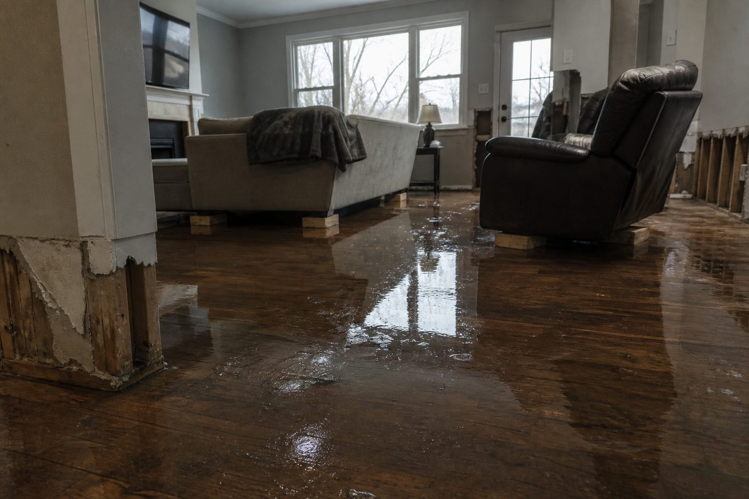
The National Weather Service in Quad Cities has issued a Flash Flood Warning for Benton, Cedar, Iowa, Johnson, Jones, and Linn counties in east-central Iowa — including the Cedar Rapids metro — in effect until 8:00 AM CDT Sunday. Heavy rain earlier brought 2 to 5 inches across the warned area, and flash flooding is either ongoing or expected to begin shortly as that runoff combines with the steady rain still falling.
This is a live snapshot as of 5:20 AM Central (3:20 AM Pacific) on Sunday, September 20, 2026. Conditions change fast — always verify with the National Weather Service for your specific county or ZIP code.
Cedar Rapids & Linn County, IA — Flash Flood Warning
Issued by: NWS Quad Cities (Iowa/Illinois), 5:04 AM CDT. Expires: 8:00 AM CDT Sunday.
The hazard, in NWS wording: At 5:04 AM CDT, Doppler radar indicated a large area of light to moderate rain was occurring across the warned area. Heavy rain producing storms earlier brought rainfall of 2 to 5 inches across the warned area. Flash flooding is either ongoing or expected to begin shortly due to runoff from the earlier heavy rain combined with the steady rain falling. Source: radar indicated.
Expected impacts: Flash flooding of small creeks and streams, urban areas, highways, streets and underpasses as well as other poor drainage and low-lying areas.
Communities: Cedar Rapids, Marion, Hiawatha, Robins, Fairfax, Ely, Walford, Springville, and Palo are all named in the warning. This includes Interstate 380 between mile markers 8 and 36 — drivers on I-380 should expect ponding and possible lane flooding through the morning commute window.
Benton, Iowa & Johnson Counties, IA — Flash Flood Warning
Same warning window: issued 5:04 AM CDT, in effect until 8:00 AM CDT Sunday, with the same 2-to-5-inch rainfall footprint from the earlier heavy storms plus continuing steady rain.
Communities: Vinton, Belle Plaine, Marengo, Solon, and Atkins are the named locations across these counties.
The runoff math here is the dangerous part: the big rain already fell, the ground is primed, and even light-to-moderate steady rain on top of 2 to 5 inches keeps pushing water into the same creeks and low spots. This is the kind of setup where the flooding starts after the heavy rain ends — don’t let a quiet radar fool you.
Cedar & Jones Counties, IA — Flash Flood Warning
Same warning, same timing. Communities: Mechanicsville, Stanwood, Center Point, Lisbon, Mount Vernon, and Anamosa sit inside the warned portions of these counties.
Small creeks and streams are the first to jump in this corridor — the NWS impacts list leads with them for a reason. Low crossings on county roads, underpasses, and urban storm-drain bottlenecks in the smaller towns are the places to watch before sunrise.
Stay safe this morning
Turn around, don’t drown when encountering flooded roads. Most flood deaths occur in vehicles. Be especially cautious at night, when it is harder to recognize the dangers of flooding — and be aware of your surroundings on the morning drive: I-380 between mile markers 8 and 36 is explicitly inside this warning, and flooded underpasses on a commuter highway are exactly where bad mornings happen.
If water enters your home: stay out of standing water where electricity may be present. Avoid the basement until water recedes and power is confirmed off. Photograph everything before cleanup — documentation matters for insurance. Then call a local restoration contractor: water left sitting starts a second wave of damage within a day.
Report observed flooding to local emergency services or law enforcement, and ask them to pass the information to the National Weather Service when you can do so safely.
What this means for restoration teams
Two to five inches across a metro like Cedar Rapids is a volume job. The damage categories: interior water intrusion in finished basements (the exact jobs restoration teams see most), saturated carpet and pad, water wicking up drywall from slab edges, overwhelmed sump systems, and storm-drain backup in the urban core. With the warning naming I-380 explicitly, expect commercial properties along the corridor to report water in loading docks and low entries too.
Mold risk clocks start the moment materials stay wet: 24 to 48 hours on saturated drywall and insulation. The continuing light-to-moderate rain matters here — it extends the wet window, which extends the drying window, which is the number you put on the job sheet.
The play for east-central Iowa contractors: stage extraction equipment and dehumidifiers now, because the warning expires at 8:00 AM CDT and the discovery wave starts as people wake up. Keep an on-call rotation through the morning. Capture address, water source, and affected areas on the first call — “water source” matters more than usual here because runoff-driven flooding and sump failures and drain backup all dry out differently. Photo-document before mitigation, moisture-map every affected room, and keep the homeowner’s payment responsibility clear in writing before work starts.
FEMA & federal assistance
If the flooding turns into a declared disaster, the FEMA Helpline is 1-800-621-3362 (7 a.m.–10 p.m. local, 7 days a week). You can also apply at DisasterAssistance.gov, through the FEMA app, or find recovery centers at fema.gov/drc. Basic eligibility: U.S. citizenship or qualified status, identity verification, proof of occupancy or ownership, and unmet needs not covered by insurance. Apply as soon as it is safe to do so.
Looking ahead
The warning expires at 8:00 AM CDT. After that, watch whether the NWS extends — steady rain on top of 2 to 5 inches is an extension-prone setup — and watch the creeks and small streams, which can crest after the rain lets up. The next NWS update lands with any extension or at expiration; check the Quad Cities office page for the latest.
Demand window note for contractors: water-intrusion calls typically start within hours of water receding and keep coming for days as people discover damage — in a metro this size, the tail on this one runs all week.
Sources & how to verify
- NWS alert: Flash Flood Warning — NWS Quad Cities IA IL
- Issuing office: weather.gov/dvn (NWS Quad Cities)
- To verify for your own county or ZIP: check weather.gov or your local NWS office page for the current active-alert map.
This post is for informational purposes and is not an official weather warning. Always follow instructions from local authorities and the National Weather Service.
Leave a Reply