The National Weather Service office in Charleston, West Virginia, has extended a Flash Flood Warning for central Athens County and northeastern Vinton County in southeastern Ohio, effective until 6:30 AM EDT on Sunday, September 20. Doppler radar and automated rain gauges indicate thunderstorms producing heavy rain across the warned area, with between 0.5 and 2 inches already fallen and an additional 1 to 1.5 inches possible. Flash flooding is ongoing or expected to begin shortly.
For restoration teams in Athens and Vinton counties, this is the classic interior-water-intrusion profile: the exact flood jobs restoration contractors see most. This is a live snapshot as of late Saturday night (PDT); conditions change fast — always verify with the National Weather Service for your specific county or ZIP code.
Athens & Vinton Counties — Flash Flood Warning
Issuing office: NWS Charleston, WV (RLX) · Issued: 2:16 AM EDT, Sunday, September 20, 2026 · Expires: 6:30 AM EDT, Sunday, September 20, 2026 · Warning type: Flash Flood Warning
Hazard, verbatim from the alert: Flash flooding caused by thunderstorms. Source: radar and automated gauges. Detection: Doppler radar and automated rain gauges indicated. Between 0.5 and 2 inches of rain have fallen; additional rainfall amounts of 1 to 1.5 inches are possible in the warned area. Flash flooding is ongoing or expected to begin shortly.
Expected impacts, per the alert: Flash flooding of small creeks and streams, urban areas, highways, streets and underpasses as well as other poor drainage and low-lying areas.
Locations that will experience flash flooding include: Athens, Nelsonville, Lake Hope State Park, Chauncey, Buchtel, Amesville, The Plains and Stroud Run State Park.
The warning covers central Athens County and northeastern Vinton County in southeastern Ohio. This is an extension of an earlier warning — rain has already been falling on ground that is now saturated, which is exactly when creeks, streams, and urban drainage start to outpace themselves. Source: the NWS alert for this warning, issued by NWS Charleston WV.
Stay safe overnight
Turn around, don’t drown when encountering flooded roads. Most flood deaths occur in vehicles. Be especially cautious at night, when it is harder to recognize the dangers of flooding — a road that looks passable in headlights can be covering a washed-out culvert or a foot of fast-moving water.
If water enters the home: stay out of standing water where electricity may be present, avoid the basement until water recedes and power is confirmed off, and photograph everything before cleanup — documentation matters for insurance. Then call a local restoration contractor: water left sitting starts a second wave of damage within a day.
You can report flooding to the National Weather Service by calling toll-free 800-401-9535, when you can do so safely.
What this means for restoration teams
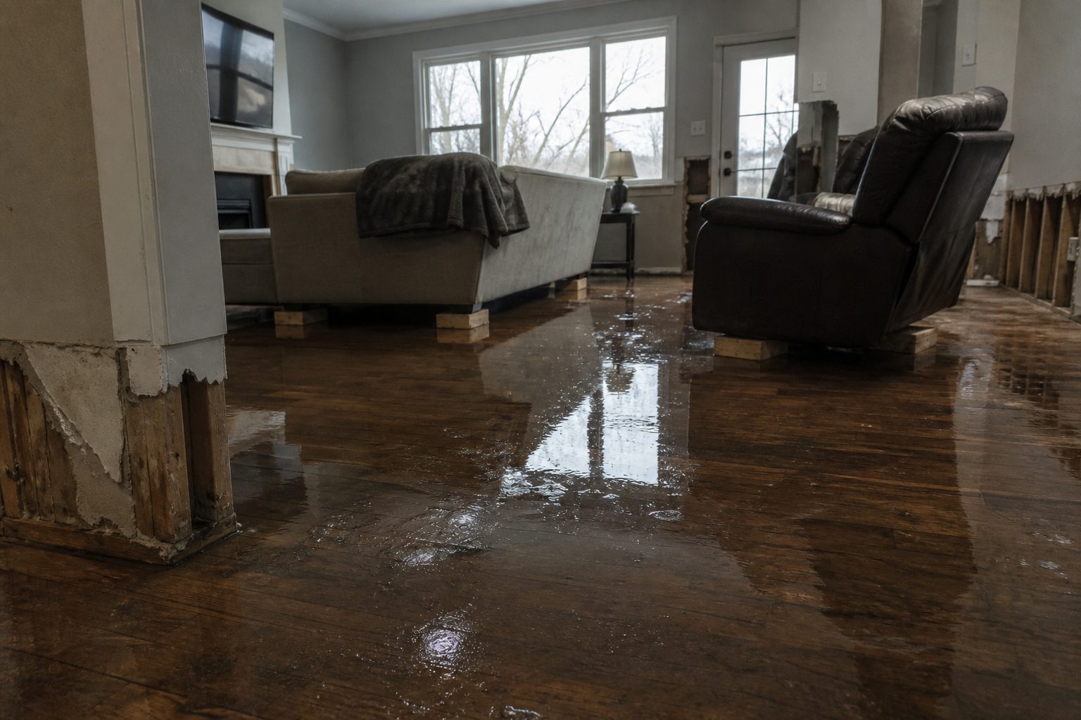
A radar-and-gauge-indicated flash flood warning that has already been extended is the setup restoration teams know well: 0.5 to 2 inches already down with up to 1.5 more on the way, falling on ground that is now saturated overnight. Expect the calls to be interior water intrusion — water at door thresholds and garage entries, saturated lower drywall and insulation in finished basements, carpet and pad saturation in living areas, and standing water in crawl spaces. In college-town Athens and the small communities of northeastern Vinton County, watch for overwhelmed low-lying rentals and older housing stock with marginal drainage.
The damage categories to be ready for: interior water intrusion through low entries and below-grade walls, saturated drywall and insulation that wicks upward from the floor line, mold risk inside 24–48 hours on any organic material that stays wet, sewage backup where low-lying laterals get overwhelmed, and water-damaged flooring in garages and finished rooms.
The play overnight: stage extraction and drying equipment now so it rolls at first light; keep an on-call rotation through the 6:30 AM expiry and the hours after, because discovery calls lag the water — people wake up to wet carpet, not to the warning itself. On every first call capture the address, the water source, and the affected areas before dispatching. Field discipline stays the same even at speed: photo-document before mitigation, moisture-map every affected room, and keep the homeowner’s payment responsibility clear in writing before work starts.
Athens is home to Ohio University and a dense rental market; landlords and property managers often discover damage a full day after tenants do. If your shop does property-management accounts, a proactive heads-up to those clients tonight can turn into a scheduled first-look tomorrow instead of an emergency call Monday.
FEMA & federal assistance
If damage is significant, the FEMA Helpline is 1-800-621-3362 (7 a.m.–10 p.m. local, 7 days a week). You can also apply at DisasterAssistance.gov or through the FEMA app, and find local recovery centers at fema.gov/drc. Basic eligibility: U.S. citizenship or qualified status, identity verification, proof of occupancy or ownership, and unmet needs not covered by insurance. Apply as soon as it is safe to do so — do not wait for cleanup to finish.
Looking ahead
The warning runs until 6:30 AM EDT, after which the immediate alert expires — but that does not mean the water is done. Small creeks and streams can crest after the rain stops, and urban poor-drainage spots hold standing water into the morning. Watch for additional rounds of storms overnight: this warning is already an extension, so the pattern is active, not clearing.
The demand window: water-intrusion calls typically start within hours of water receding and keep coming for days as people discover damage — first the homeowners who are awake and watching, then the ones who find it Sunday afternoon, then the rental-property discoveries Monday. Staff your phone line through at least midday Sunday and have your first site visits scheduled by mid-morning.
Sources & how to verify
- NWS Flash Flood Warning — Athens & Vinton Counties, OH (issued 2:16 AM EDT, expires 6:30 AM EDT, Sep 20)
- NWS Charleston, WV — the issuing office; check here for updates, extensions, and county-specific guidance
- weather.gov — enter your ZIP code for your current watches and warnings
To verify for your own county or ZIP: go to weather.gov, enter the ZIP, and read the current alerts tab — or open your local NWS office page directly.
This post is for informational purposes and is not an official weather warning. Always follow instructions from local authorities and the National Weather Service.
Leave a Reply