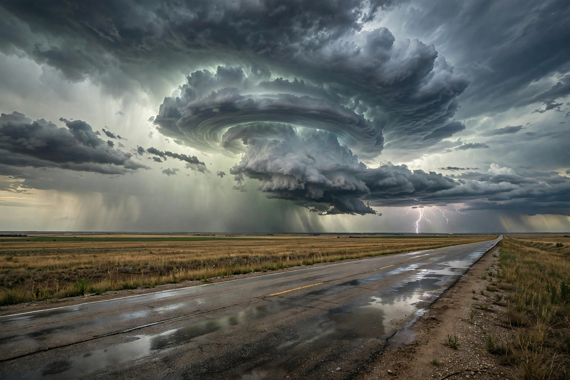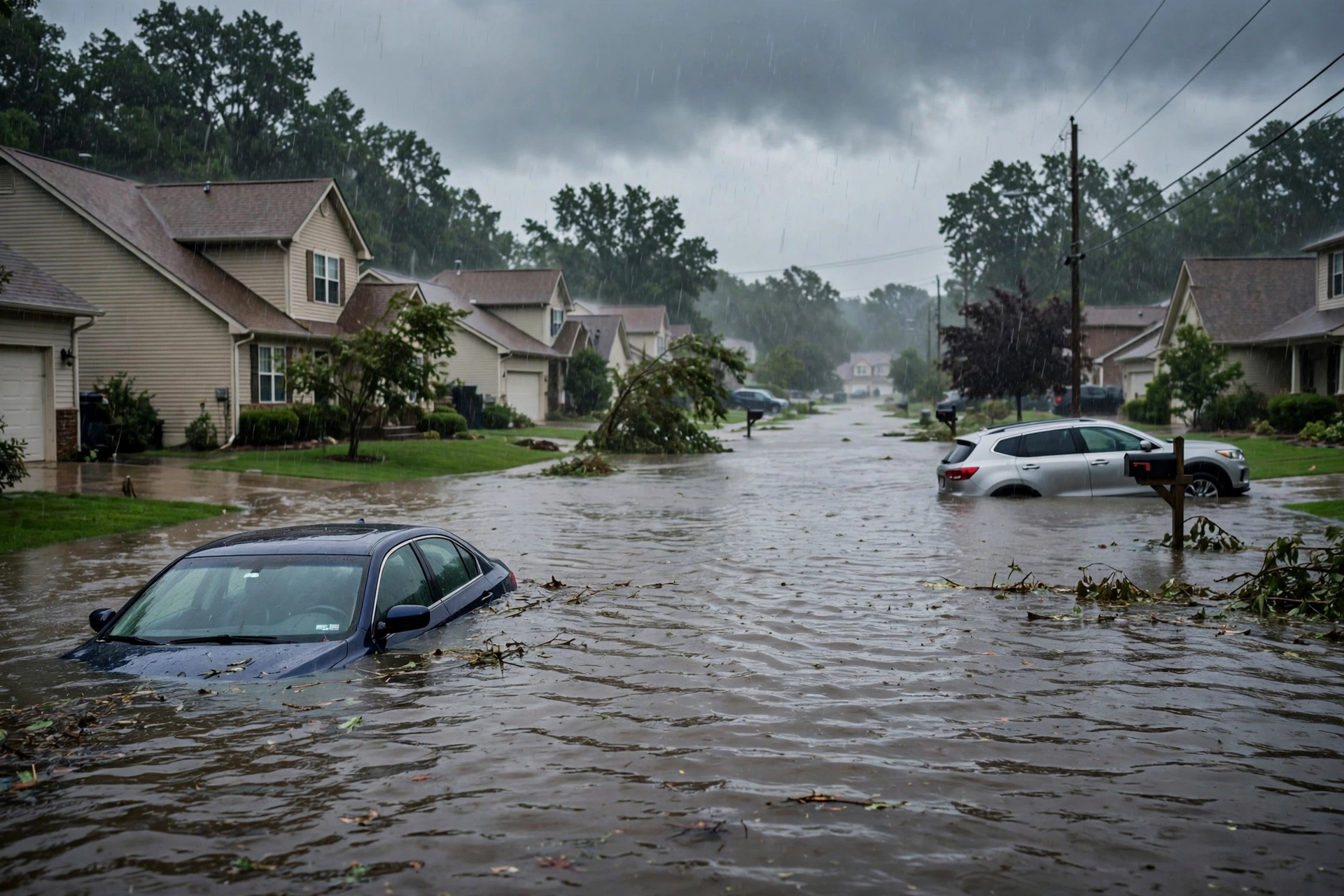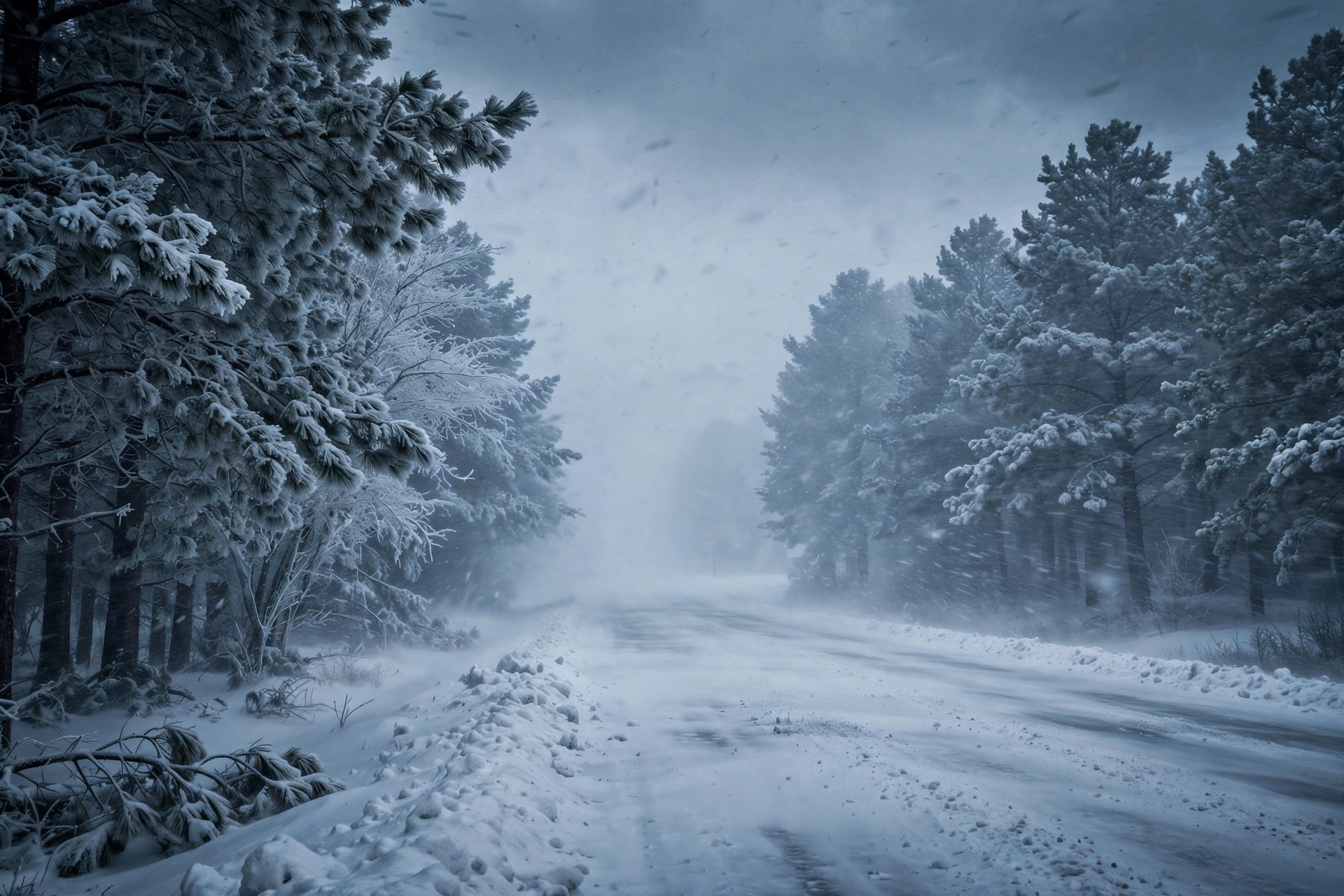
Tropical: None · Severe: None · Flood: Quiet
What Changed
- SPC Day 1 Convective Outlook (0100 UTC Nov 13 / 0637 PM CST Nov 12 2026 by Leitman) continues NO SEVERE THUNDERSTORM AREAS FORECAST. No change from the morning pulse. Severe probabilities remain removed; no watches or MDs valid.
- WPC Day 1 Excessive Rainfall Outlook (0053 UTC Nov 13 update) continues probability of rainfall exceeding flash flood guidance less than 5 percent. No Moderate or above. National flood lane remains Quiet.
- Residual Flash Flood Warning for southeastern Monmouth and northeastern Ocean Counties NJ (until 10 PM EST) has expired. No active elevated national flood products.
- NHC: no tropical cyclones in the Atlantic, Caribbean or Gulf of America. No TS or hurricane watch/warning on the U.S. coast or Gulf. Formation not expected next 7 days. No change.
- Winter Storm Warnings remain in effect for the Sierra Nevada (CA/NV) for heavy snow Friday into Saturday. Blizzard Warnings continue in northern Alaska Arctic coast. Nothing moved into Slight or higher on SPC or Moderate or higher on WPC ERO.
Live Status
As of the afternoon desk on Thursday, November 12, 2026 (approximately 9:19 PM PST / 12:19 AM EST Nov 13 / 0519Z Nov 13), the national picture remains a Quiet Pulse. SPC Day 1 holds no severe thunderstorm areas. WPC Day 1 ERO is below the 5% threshold. No tropical cyclone threatens or has just hit the U.S. coast or Gulf. Earlier Mid-Atlantic severe activity has ended. Attention turns to the incoming Pacific system for the Sierra Nevada.
Hotspots
Sierra Nevada / California-Nevada: Winter Storm Warnings in effect for heavy snow above 6,000 feet Friday into Saturday, with potential for 6–18 inches along the crest. Primary travel impacts expected on I-80 and Highway 50. Secondary to the closed severe window but the active continental hazard.
Residual Mid-Atlantic (SE PA / central-southern NJ / N DE): Earlier Slight Risk and Tornado Watch 705 produced isolated tornadoes, large hail, and urban flash flooding. Most warnings expired. WPC ERO now quiet. Localized debris and water issues may remain on already wet urban soils.
West Coast coastal and Alaska: High Surf Warnings and Coastal Flood Warnings persist on parts of California and Oregon. Blizzard Warnings continue in northern Alaska Arctic coast. Not elevating the national severe or flood lanes.
Just-Hit / Ongoing
Confirmed tornadoes earlier today in New Castle County DE and Burlington County NJ, with tree and structural damage. Hail reports up to 1.75 inches. Wind damage and trees down. Flash Flood Warnings earlier in the Philadelphia-Trenton-Camden corridor. Most convective products closed. No active national Slight or Moderate risks. Winter products building for the Sierra.
Pulse Table
| Lane | Status | Notes (as of ~0519Z Nov 13 / 9:19 PM PST Nov 12 2026) |
|---|---|---|
| Tropical | None | No TC in Atlantic/Caribbean/Gulf. NHC formation not expected next 7 days. No U.S. coastal or Gulf watches/warnings. |
| Severe | None | SPC Day 1 (0100Z Nov 13): NO SEVERE THUNDERSTORM AREAS FORECAST. Watch 705 expired. Earlier tornadoes DE/NJ and hail closed. |
| Flood | Quiet | WPC Day 1 ERO probability <5%. Prior Marginal closed. Residual local FFW in NJ expired. No Moderate or above. |
Rising Queries
- tornado watch
- winter storm warning Sierra
- weather snow California
- freeze watch
- high surf warning California
Restoration Read
Quiet Pulse after a focused Mid-Atlantic severe pulse. Primary residual ticket is localized hail damage (vehicles, roofs) and brief tornado impacts (trees, minor structures) in the Philadelphia-Camden-Wilmington corridor, plus urban flash flooding on wet soils. No widespread major structural damage expected. Monitor for debris and water intrusion. Turn around, don’t drown. Sierra Nevada winter storm is the next active hazard for Friday travel and potential roof/tree loading in higher elevations. West Coast coastal flooding secondary.
What This Is Not
This is a Quiet Pulse. Nothing at SPC Slight or above on the latest Day 1. No WPC ERO Moderate or above. No tropical storm or hurricane watch or warning on the U.S. coast or Gulf. Earlier Slight Risk and Watch 705 have closed. It was not a high-end outbreak. No named storm hub required.
Looking Ahead One Day
No new Slight or higher severe risk on Friday. Residual showers possible in the Northeast. Colder air behind the system. No tropical development expected. Heavy snow and high winds for the Sierra Nevada under Winter Storm Warnings Friday into Saturday. Attention shifts west.
Sources
- SPC Day 1 Convective Outlook (0100 UTC Nov 13 2026): https://www.spc.noaa.gov/products/outlook/day1otlk.html
- SPC Current Watches: https://www.spc.noaa.gov/products/watch/
- WPC Day 1 Excessive Rainfall Outlook: https://www.wpc.ncep.noaa.gov/qpf/ero.php
- NHC Active Tropical Cyclones: https://www.nhc.noaa.gov/
- NWS WWA summary: https://www.weather.gov/wwamap/wwatxtget.php?cwa=usa&wwa=all
- SPC Today’s Storm Reports: https://www.spc.noaa.gov/climo/reports/today.html
- This morning’s desk: https://tygartmedia.com/quiet-pulse-2026-11-12-morning/
Disclaimer: Informational only — not an official warning. This is a summary of official public products from the Storm Prediction Center, Weather Prediction Center, National Weather Service, and National Hurricane Center as of approximately 9:19 PM PST on November 12, 2026. Always consult the latest official forecasts and warnings for your location. Turn around, don’t drown.