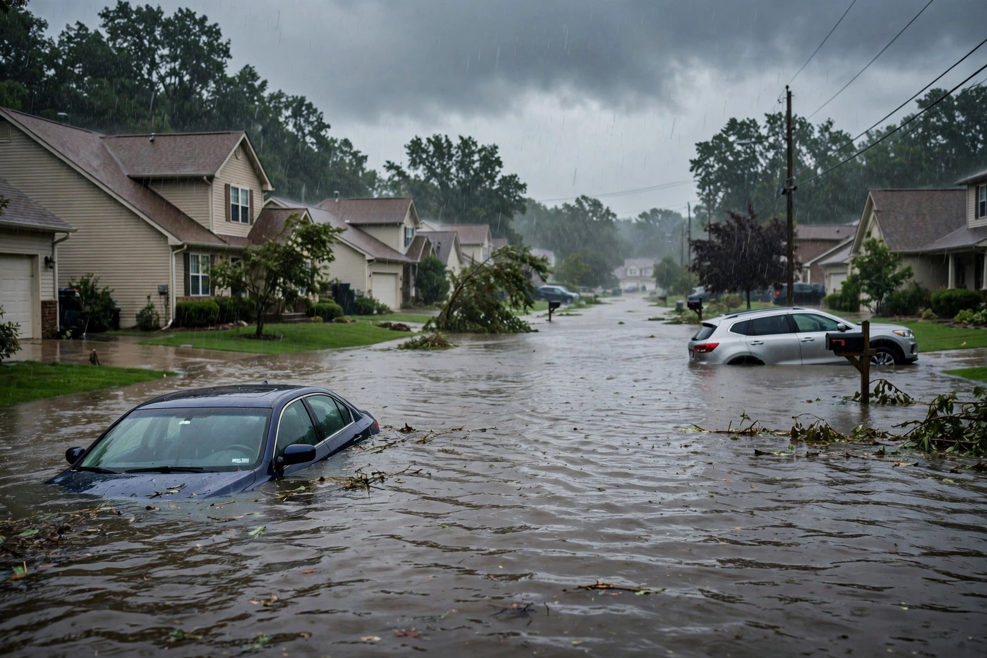
As of the afternoon desk on Sunday, November 1, 2026 (approximately 8:16 PM PDT / 04:16 UTC November 2), the national picture centers on the Southwest. The Storm Prediction Center’s latest Day 1 Convective Outlook (0100 UTC update issued 0641 PM CST November 1, valid 020100Z–021200Z) carries a Slight Risk of severe thunderstorms across parts of New Mexico into the Texas and Oklahoma Panhandles. The Weather Prediction Center Day 1 Excessive Rainfall Outlook (issued 0027Z November 2, valid 0100Z–1200Z November 2) maintains a Moderate Risk of excessive rainfall for portions of the Four Corners region. No tropical storm or hurricane watch or warning is in effect on the U.S. coast or Gulf of America.
Tropical: None · Severe: Slight · Flood: Moderate
What Changed
- Compared with this morning’s pulse table (quiet-pulse-2026-11-01-morning: Tropical: None · Severe: Slight · Flood: Moderate): SPC Day 1 (0100 UTC November 2 cycle) holds the Slight Risk. Storms have developed in north-central New Mexico and are organizing into a line expected to move east-northeast into the Panhandles this evening into overnight, with severe wind gusts and a few tornadoes possible. Severe Thunderstorm Watch 699 remains in effect for portions of New Mexico.
- WPC Day 1 ERO continues the Moderate Risk covering approximately 64,281 square miles and 3.7 million people on already saturated soils. Multiple Flash Flood Warnings remain active across Arizona.
- Active Severe Thunderstorm Warnings have been issued for portions of central New Mexico, including the Albuquerque metro area. Mesoscale Discussion 2424 addresses severe potential with a watch likely in the High Plains corridor.
- Tropical lane remains None. National Hurricane Center confirms no tropical cyclones and formation is not expected during the next 7 days. No U.S. coastal or Gulf watches or warnings.
- Risk levels unchanged from morning, but the severe threat is now actively unfolding. Dominant restoration ticket remains the Moderate excessive rainfall and flash flooding on saturated soils across the Southwest, compounded by the active severe wind and tornado threat in New Mexico and the Panhandles.
Live Status
SPC Day 1 lists a Slight Risk of severe thunderstorms across parts of New Mexico into the Texas and Oklahoma Panhandles (area approximately 61,898 square miles, population approximately 673,000). Thunderstorms capable of producing severe wind gusts and a few tornadoes are expected this evening into the overnight. Storms have developed in the higher terrain of north-central New Mexico and will move east-northeastward. A band of strong storms is expected over central New Mexico, organizing into a line moving into the Texas Panhandle. Faster bowing segments may produce gusts above 70 mph. Supercells possible within the line; Amarillo VWP shows 0-3 km storm-relative helicity near 350 m²/s², supporting tornado potential (see MCD 2424). The threat is expected to persist into the overnight into northwestern Oklahoma and south-central Kansas with isolated severe gusts.
WPC Day 1 ERO places a Moderate Risk of excessive rainfall covering 64,281 square miles and 3,656,961 people. A high-end Moderate remains in effect for portions of the Mogollon Rim and San Juan Mountains. An anomalously strong atmospheric river is driving highly anomalous moisture into the Southwest on already saturated soils. Widespread 3-5 inches of rain are expected in core areas, with efficient runoff converting nearly all rainfall to flooding of dry washes, arroyos, slot canyons, and burn scars. Flood Watches remain widespread. Active Flash Flood Warnings continue in Arizona, including the Paria River in Coconino County (considerable threat) and the Tucson metro area.
Hotspots
- Southwest / Four Corners (Arizona, New Mexico, southern Utah, southwestern Colorado): Primary focus under WPC Moderate Risk. Saturated soils from multi-week wet period. Active Flash Flood Warnings in northern and southeastern Arizona (Paria River/Lees Ferry with rapid rise reported, Tucson area, Graham and Greenlee counties). Expect life-threatening flash flooding of dry washes, arroyos, slot canyons, urban areas, and burn scars. Heavy rain rates capable of producing considerable impacts in core areas of the Mogollon Rim and San Juans.
- Southern High Plains / eastern New Mexico into Texas and Oklahoma Panhandles: SPC Slight Risk. Severe Thunderstorm Watch 699 active for New Mexico. Line of storms developing across central and eastern New Mexico, moving east-northeast into the Panhandles overnight. Primary threats: damaging wind gusts (isolated above 70 mph possible) and a few line-embedded tornadoes. Active Severe Thunderstorm Warnings already issued for central New Mexico including Albuquerque metro.
- East coast of Florida: Residual Slight Risk of excessive rainfall. Flood Watch in effect for parts of the Treasure Coast and Palm Beach County through Monday afternoon. Additional rain continues into Monday on saturated soils. No organized severe threat.
Just-Hit
Heavy rainfall from the atmospheric river continued into Sunday afternoon and evening, producing and extending Flash Flood Warnings across Arizona, including a rapid rise on the Paria River and persistent threats in the Tucson area. Severe thunderstorms developed in central New Mexico by late afternoon, prompting Severe Thunderstorm Warnings for the Albuquerque metro and surrounding counties with radar-indicated 60 mph wind gusts. Preliminary local storm reports include 60 mph gusts in Clark County, Nevada, earlier in the convective day. No widespread tornado reports logged yet, but the threat is increasing as the line organizes and moves east.
Pulse Table
| Lane | Status | Notes (as of ~8:16 PM PDT / 04:16 UTC Nov 2 2026) |
|---|---|---|
| Tropical | None | No tropical cyclones in the Atlantic, Caribbean, or Gulf. NHC: formation not expected next 7 days. No U.S. coastal or Gulf watches or warnings. |
| Severe | Slight | SPC Day 1 (0100Z Nov 2): SLIGHT RISK NM into TX/OK Panhandles. Severe Thunderstorm Watch 699 active for NM. Damaging winds primary, few tornadoes possible with line. Storms developing; MCD 2424. |
| Flood | Moderate | WPC Day 1 ERO Moderate Risk Four Corners (~64k sq mi, ~3.7M people). Active Flash Flood Warnings AZ. Flood Watches AZ/NM/UT/CO and residual FL. Saturated soils from recent events. |
Restoration Read
Moderate flood lane remains the primary driver on already saturated soils across the Southwest and Four Corners. Expect flash flooding of washes, arroyos, slot canyons, urban corridors, and burn scars, with potential for considerable impacts in core areas of the Mogollon Rim. Active severe threat in New Mexico and the High Plains brings risk of damaging winds (isolated 70+ mph) and a few tornadoes with the evening and overnight line of storms. Florida residual flash flood risk under Slight ERO. Monitor for water intrusion, debris, high water on roads, roof/siding/tree damage from winds, and residual coastal flooding. Turn around, don’t drown. No tropical component.
Get The Signal
What we actually ran, what it measured, and what it means for a restoration shop — every week, including the flops.
What This Is Not
This is not a Quiet Pulse. SPC Slight Risk and WPC Moderate Risk are both open. No tropical storm or hurricane watch or warning on the U.S. coast or Gulf of America. This desk summarizes public products from the SPC, WPC, NWS, and NHC. It is not an official warning.
Looking Ahead One Day
Monday: SPC Day 2 outlook shows a Slight Risk shifting eastward across North Texas, Oklahoma, Kansas, and into Missouri for late Monday afternoon into evening, with damaging winds and a few tornadoes. WPC Day 2 holds residual Slight Risk of excessive rainfall for parts of the east coast of Florida. Southwest flood threat begins to wind down as the moisture plume moves through, but residual runoff on saturated soils continues into Monday. No tropical development expected.
Rising Queries
Rising queries tied to the Southwest flood and New Mexico severe hotspot include “flood watch,” “flash flood warning,” and related searches for Arizona and New Mexico flooding.
Sources
- SPC Day 1 Convective Outlook (0100 UTC Nov 2 2026 / 0641 PM CST Nov 1): spc.noaa.gov
- WPC Day 1 Excessive Rainfall Outlook (issued 0027Z Nov 2, valid 0100Z–1200Z Nov 2): wpc.ncep.noaa.gov
- SPC Mesoscale Discussion 2424 and Current Watches: spc.noaa.gov
- NHC Atlantic Tropical Weather Outlook: nhc.noaa.gov
- NWS Watches, Warnings & Advisories: weather.gov
- This morning’s desk: quiet-pulse-2026-11-01-morning
Disclaimer: Informational only — not an official warning. This is a summary of official public products from the Storm Prediction Center, Weather Prediction Center, National Weather Service, and National Hurricane Center. Always consult the latest official forecasts and warnings for your location. Turn around, don’t drown.
Get The Signal
What we actually ran, what it measured, and what it means for a restoration shop — every week, including the flops.
Leave a Reply