Tropical: None · Severe: Slight · Flood: Slight
What Changed
- Severe Thunderstorm Watch 682 remains in effect until 1100 PM CDT (0400Z Wednesday) for portions of southern into eastern Kansas and west-central into northwest Missouri. Primary threats: scattered damaging winds (isolated to 80 mph), large hail (isolated to 2.5 inches), a tornado or two possible.
- Severe Thunderstorm Watch 683 issued 450 PM CDT (2150Z) until Midnight CDT for western Oklahoma and the eastern Texas Panhandle into northwest Texas. Threats: scattered damaging winds (to 75 mph), large hail (to 2.5 inches), isolated tornado.
- SPC Day 1 Convective Outlook holds the Slight Risk from northwest Missouri/Kansas into the southern High Plains. Minor Marginal expansion into far northeast Oklahoma, southeast Kansas, and southwest Missouri for overnight damaging wind potential. Primary hazards large hail and severe gusts; tornado risk low but non-zero near the front.
- Preliminary SPC Local Storm Reports now include hail to 2.75 inches (Matador, TX area), winds to 81 mph (near Turkey, TX), and tree damage in Kansas. Multiple short-fuse Severe Thunderstorm Warnings active, including destructive storms over the Kansas City metro (80 mph winds indicated).
- WPC Day 1 Excessive Rainfall Outlook maintains Slight Risk across the central and southern Plains into the Lower Missouri Valley. Flood Watches continue for KS/MO. No tropical storm or hurricane watches or warnings on the U.S. coast or Gulf. Compared with the prior update, watches expanded southward and LSRs/warnings confirm initiation underway.
Live Status
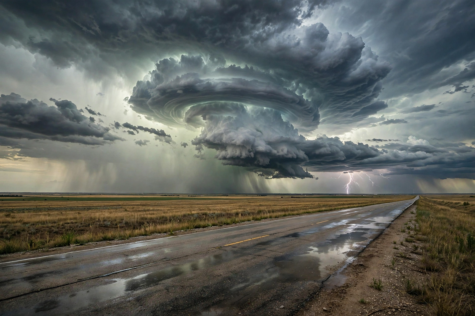
As of the Tuesday morning desk update (approximately 5:17 PM PDT / 8:17 PM CDT / 0117Z on October 13, 2026), Severe Thunderstorm Watches 682 and 683 are live over the central and southern Plains. The SPC Day 1 Slight Risk covers widely scattered severe storms capable of large hail, severe gusts, and possibly a tornado this afternoon into tonight from the central/southern Plains into the Lower Missouri Valley. Very moist boundary layer supports moderate buoyancy (2000–2500 J/kg MLCAPE). Strong mid- to high-level flow favors initial supercells, with coverage increasing through the early evening from northwest Oklahoma and Kansas into the lower Missouri Valley. Primary hazards: large hail (1.5–2.5 inches) and severe gusts (60–80 mph). Tornado potential limited by modest low-level shear but non-zero near the front. Preliminary LSRs show large hail and damaging winds already occurring, with no tornado reports yet. Short-fuse Severe Thunderstorm Warnings remain active across the Texas Panhandle, Oklahoma, Kansas, and the Kansas City metro area, some with considerable or destructive damage threats.
A Marginal Risk persists for parts of western and central New York (localized wind damage or brief tornado possible if surface-based storms develop; limited by modest buoyancy). Broader Marginal Risk covers southwest Texas into the mid-Mississippi Valley. WPC Slight ERO remains in place with slow cell motions, potential for repeating convection, and a developing low-level jet after sunset. Neighborhood probabilities support elevated chances for >3 inches near Kansas City and over the southern High Plains. This is the start of a multi-day unsettled period with additional heavy rainfall possible through Thursday.
Pulse Table
| Region | Main threats | SPC / NWS / WPC level | Status this evening |
|---|---|---|---|
| KS / NW MO (including KC metro) | Large hail (1–2.5″), damaging wind (60–80 mph), isolated tornado, heavy rain | SPC Slight; Watch 682 until 11 PM CDT; WPC Slight; Flood Watches | Live; active SVR warnings (destructive in KC); LSRs of hail/wind |
| Western OK / eastern TX Panhandle into NW TX | Large hail (to 2.5–2.75″), damaging wind (to 75–81 mph), isolated tornado, heavy rain | SPC Slight/Marginal; Watch 683 until Midnight CDT; WPC Slight | Live; Watch 683 active; radar hail and measured gusts |
| Overnight Marginal / western-central NY | Isolated severe gusts, localized wind | SPC Marginal | Isolated possible; limited coverage |
| Southeast Texas / adjacent Louisiana | Urban/poor-drainage flooding | WPC Marginal ERO | Afternoon/evening window; high FFG |
| CONUS watches / LSRs | Severe storms | Watches 682 & 683 live; preliminary hail and wind reports | Initiation confirmed; no tornado LSRs |
Rising queries
Trends unreachable this run. Local coverage in Kansas City, Wichita, and Topeka highlights the Slight Risk, Flood Watches, and the transition from record heat to severe storms and heavy rain.
Looking ahead
SPC Day 2 Outlook places a Slight Risk of severe thunderstorms from western North Texas across Oklahoma to the western Ozark Plateau for Wednesday, primarily damaging wind gusts with isolated hail and a tornado or two possible. Marginal Risk extends into parts of the upper Ohio Valley and Mid-Atlantic. Additional heavy rainfall is expected through Thursday across the Plains and Midwest corridor. Cooler air arrives later in the week.
Restoration posture: the Plains severe and flood window is open this evening into tonight under Watches 682 and 683 and Flood Watches. Primary hazards large hail and damaging wind under supercells and early clusters, with confirmed reports of both. Check weather.gov for county-level warnings, spc.noaa.gov for the outlook and watch status, and wpc.ncep.noaa.gov for the excessive rainfall overlay. No named storm hub required this run.
Prior desk: Storm Updates: Quiet Pulse — Oct 12 Morning.
Informational only — not an official warning. This is a morning desk summary of public National Weather Service, Storm Prediction Center, Weather Prediction Center, and National Hurricane Center products as of approximately 5:17 PM PDT on October 13, 2026. Always confirm with the latest official forecasts.
Leave a Reply