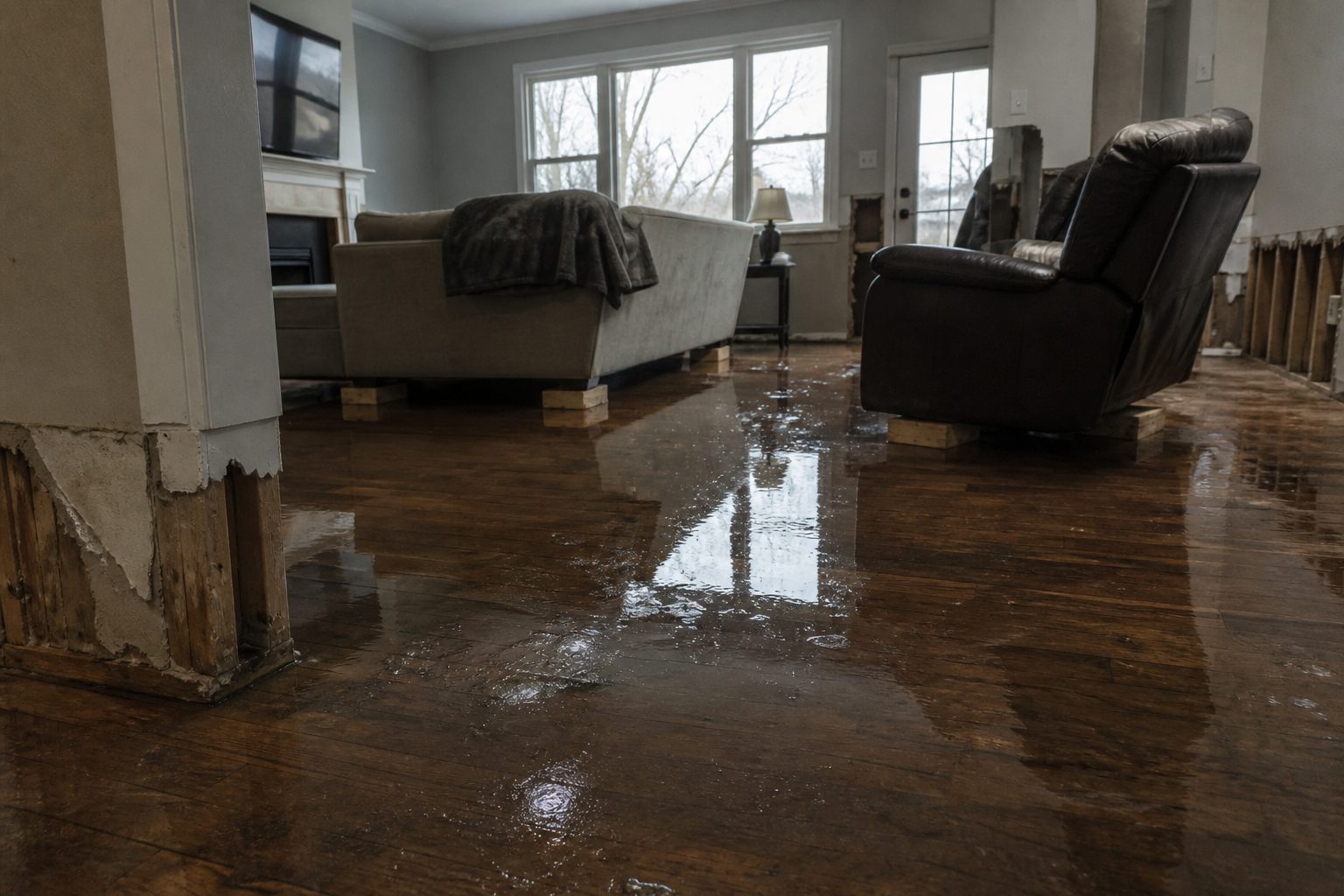
Tag: Water Damage Restoration

  • Flash Flood Warning: Meigs Area Until 7 AM EDT

    Flash Flood Warning: Meigs Area Until 7 AM EDT

    This is a live snapshot as of September 21, 2026, 01:03 AM PDT. Conditions change fast — always verify with the National Weather Service for your specific county or ZIP code.

    Lede: Flash Flood Warning active for Meigs

    A Flash Flood Warning is active for Meigs, OH; Jackson, WV; Wirt, WV; Wood, WV right now, issued by the NWS Charleston WV. This is the exact storm footprint where flash-flood interior water-intrusion jobs begin — restoration teams in the path should be staging now.

    Meigs — Flash Flood Warning

    Issued by: NWS Charleston WV
    Sent: 2026-09-21T04:02:00-04:00
    Expires: 7 AM EDT (2026-09-21T07:30:00-04:00)

    Headline: Flash Flood Warning issued September 21 at 4:02AM EDT until September 21 at 7:30AM EDT by NWS Charleston WV

    FFWRLX

    The National Weather Service in Charleston has extended the

    * Flash Flood Warning for…
    East Central Meigs County in southeastern Ohio…
    Northeastern Jackson County in northwestern West Virginia…
    Southwestern Wirt County in northwestern West Virginia…
    Southwestern Wood County in northwestern West Virginia…

    * Until 730 AM EDT.

    * At 402 AM EDT, Doppler radar indicated thunderstorms producing
    heavy rain across the warned area. Between 0.5 and 0.7 inches of
    rain have fallen. Flash flooding is ongoing or expected to begin
    shortly.

    HAZARD…Flash flooding caused by thunderstorms.

    SOURCE…Radar indicated.

    IMPACT…Flash flooding of small creeks and streams, urban areas,
    highways, streets and underpasses as well as other poor
    drainage and low-lying areas.

    * Some locations that will experience flash flooding include…
    Parkersburg, Forked Run State Park, Ravenswood, Sandyville, Lubeck,
    Mineralwells, Rockport, Belleville, Reedsville, Portland,
    Morristown and Peewee.

    This includes the following highways…
    Interstate 77 in West Virginia between mile markers 143 and 174.
    Route 50 in West Virginia between mile markers 8 and 9.

    NWS instructions

    Turn around, don't drown when encountering flooded roads. Most flood
    deaths occur in vehicles.

    Report flooding to the National Weather Service by calling toll free,
    800 401 9535, when you can do so safely.

    Areas affected: Meigs, OH; Jackson, WV; Wirt, WV; Wood, WV

    Source: NWS Charleston WV via the National Weather Service alert feed.

    Stay safe tonight

    Turn around, don’t drown. Most flood deaths happen in vehicles — never drive through flooded roadways or around barricades.

    If water enters your home: stay out of standing water where electricity may be present; avoid the basement until water recedes and power is confirmed off; photograph everything before cleanup (documentation matters for insurance); then call a local restoration contractor. Water left sitting starts a second wave of damage within a day.

    What this means for restoration teams

    This warning translates into interior water-intrusion jobs: saturated drywall and insulation, flooded basements and crawl spaces, sewage backup in low-lying areas. Mold risk starts within 24–48 hours of wet material left in place.

    The play: stage extraction and drying equipment now, keep an on-call rotation through the morning, and capture address, water source, and affected areas on the first call. Field discipline — photo-document before mitigation, moisture-map every affected room, keep the homeowner’s payment responsibility clear in writing before work starts.

    FEMA & federal assistance

    FEMA Helpline: 1-800-621-3362 (7 a.m.–10 p.m. local, 7 days). Also available at DisasterAssistance.gov, the FEMA app, and fema.gov/drc for disaster recovery centers.

    Basic eligibility: U.S. citizenship or qualified status, identity verification, proof of occupancy or ownership, and unmet needs not covered by insurance. Apply as soon as it is safe to do so.

    Looking ahead

    This warning runs until 7 AM EDT. When it expires, watch for additional rounds of storms, creeks and rivers cresting later than the rain, and the next NWS update for your county. Water-intrusion calls typically start within hours of water receding and keep coming for days as people discover damage.

    Sources & how to verify

    To verify for your own county or ZIP: check weather.gov or your local NWS office page.

    This post is for informational purposes and is not an official weather warning. Always follow instructions from local authorities and the National Weather Service.

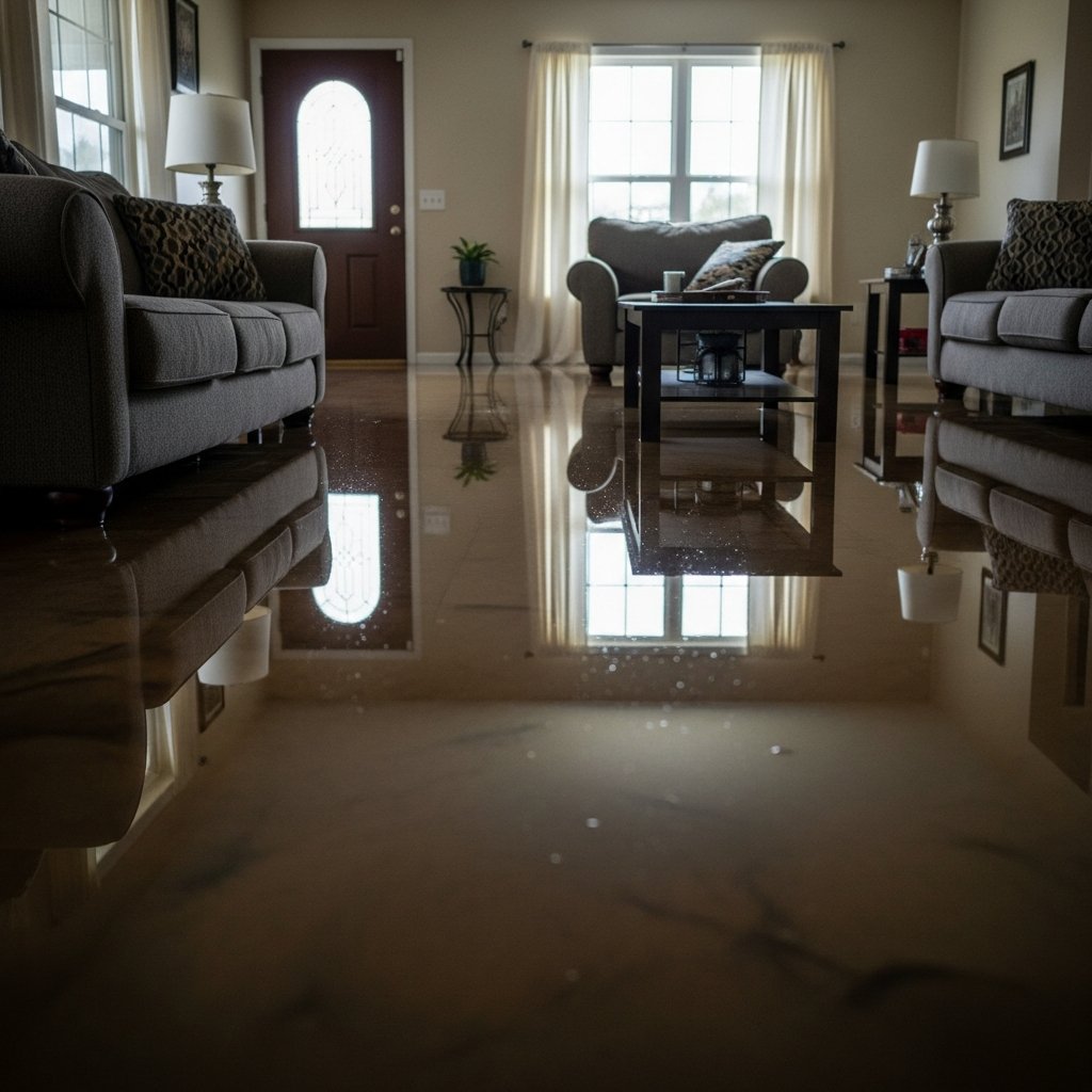
  • Flash Flood Warning: Athens Area Until 7 AM EDT

    Flash Flood Warning: Athens Area Until 7 AM EDT

    This is a live snapshot as of September 21, 2026, 01:03 AM PDT. Conditions change fast — always verify with the National Weather Service for your specific county or ZIP code.

    Lede: Flash Flood Warning active for Athens

    A Flash Flood Warning is active for Athens, OH; Gallia, OH; Meigs, OH; Washington, OH; Jackson, WV; Mason, WV; Wood, WV right now, issued by the NWS Charleston WV. This is the exact storm footprint where flash-flood interior water-intrusion jobs begin — restoration teams in the path should be staging now.

    Athens — Flash Flood Warning

    Issued by: NWS Charleston WV
    Sent: 2026-09-21T04:02:00-04:00
    Expires: 7 AM EDT (2026-09-21T07:45:00-04:00)

    Headline: Flash Flood Warning issued September 21 at 4:02AM EDT until September 21 at 7:45AM EDT by NWS Charleston WV

    FFWRLX

    The National Weather Service in Charleston has extended the

    * Flash Flood Warning for…
    Southeastern Athens County in southeastern Ohio…
    Northeastern Gallia County in southeastern Ohio…
    Meigs County in southeastern Ohio…
    Southwestern Washington County in southeastern Ohio…
    Northwestern Jackson County in northwestern West Virginia…
    Western Wood County in northwestern West Virginia…
    North Central Mason County in western West Virginia…

    * Until 745 AM EDT.

    * At 402 AM EDT, Doppler radar and automated rain gauges indicated
    thunderstorms producing heavy rain across the warned area. Between
    1.5 and 2.5 inches of rain have fallen. Additional rainfall amounts
    of 1 to 3 inches are possible in the warned area. Flash flooding is
    ongoing or expected to begin shortly.

    HAZARD…Flash flooding caused by thunderstorms.

    SOURCE…Radar and automated gauges.

    IMPACT…Flash flooding of small creeks and streams, urban areas,
    highways, streets and underpasses as well as other poor
    drainage and low-lying areas.

    * Some locations that will experience flash flooding include…
    Athens, Pomeroy, Coolville, Rutland, Forked Run State Park, Mason,
    Tuppers Plains, Middleport, Chester, Syracuse, Hartford City,
    Darwin, Harrisonville, Dexter, Dyesville, Reedsville, Portland and
    Salem Center.

    NWS instructions

    Turn around, don't drown when encountering flooded roads. Most flood
    deaths occur in vehicles.

    Be especially cautious at night when it is harder to recognize the
    dangers of flooding.

    Be aware of your surroundings and do not drive on flooded roads.

    Report flooding to the National Weather Service by calling toll free,
    800 401 9535, when you can do so safely.

    Areas affected: Athens, OH; Gallia, OH; Meigs, OH; Washington, OH; Jackson, WV; Mason, WV; Wood, WV

    Source: NWS Charleston WV via the National Weather Service alert feed.

    Stay safe tonight

    Turn around, don’t drown. Most flood deaths happen in vehicles — never drive through flooded roadways or around barricades.

    If water enters your home: stay out of standing water where electricity may be present; avoid the basement until water recedes and power is confirmed off; photograph everything before cleanup (documentation matters for insurance); then call a local restoration contractor. Water left sitting starts a second wave of damage within a day.

    What this means for restoration teams

    This warning translates into interior water-intrusion jobs: saturated drywall and insulation, flooded basements and crawl spaces, sewage backup in low-lying areas. Mold risk starts within 24–48 hours of wet material left in place.

    The play: stage extraction and drying equipment now, keep an on-call rotation through the morning, and capture address, water source, and affected areas on the first call. Field discipline — photo-document before mitigation, moisture-map every affected room, keep the homeowner’s payment responsibility clear in writing before work starts.

    FEMA & federal assistance

    FEMA Helpline: 1-800-621-3362 (7 a.m.–10 p.m. local, 7 days). Also available at DisasterAssistance.gov, the FEMA app, and fema.gov/drc for disaster recovery centers.

    Basic eligibility: U.S. citizenship or qualified status, identity verification, proof of occupancy or ownership, and unmet needs not covered by insurance. Apply as soon as it is safe to do so.

    Looking ahead

    This warning runs until 7 AM EDT. When it expires, watch for additional rounds of storms, creeks and rivers cresting later than the rain, and the next NWS update for your county. Water-intrusion calls typically start within hours of water receding and keep coming for days as people discover damage.

    Sources & how to verify

    To verify for your own county or ZIP: check weather.gov or your local NWS office page.

    This post is for informational purposes and is not an official weather warning. Always follow instructions from local authorities and the National Weather Service.
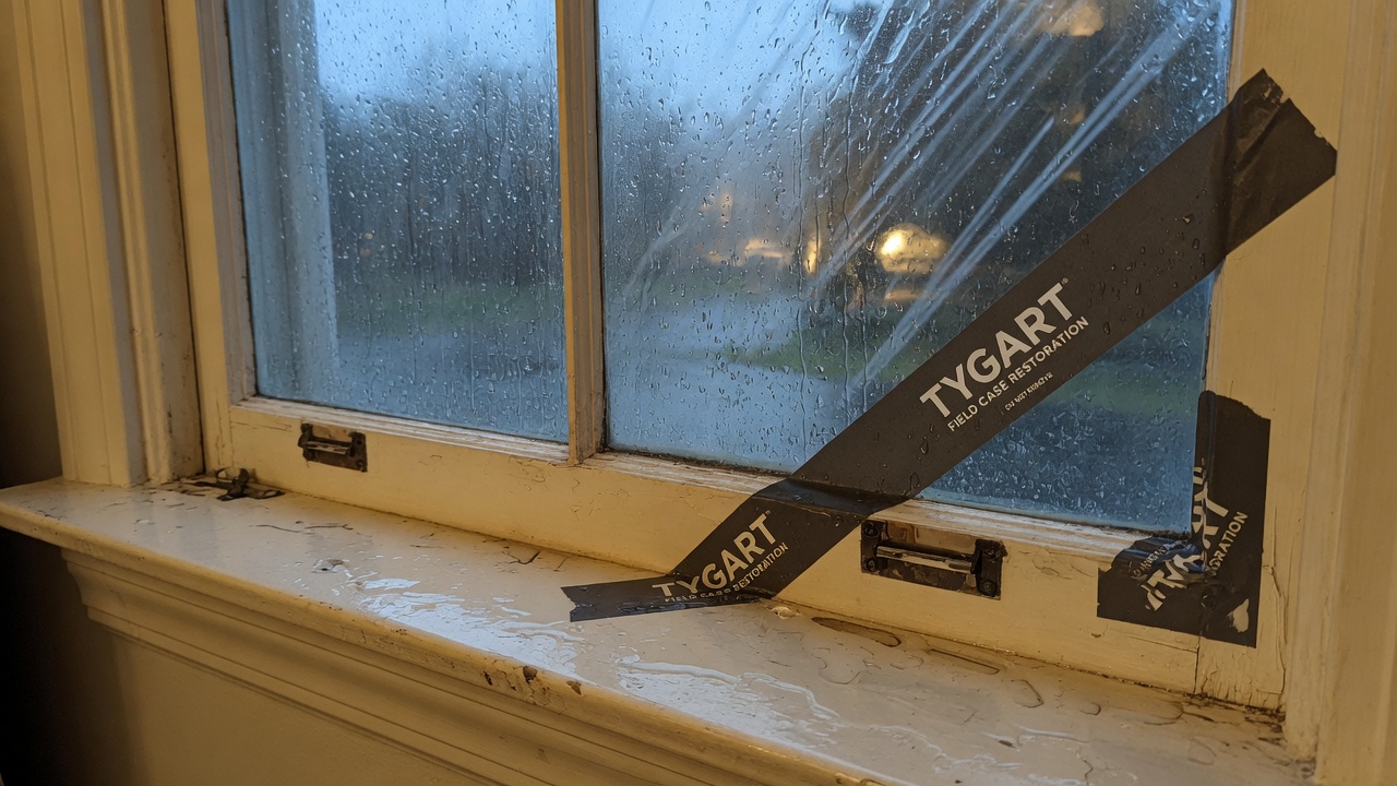
  • Flash Flood Warning: Muskingum County, OH Area Until 5 AM EDT

    Flash Flood Warning: Muskingum County, OH Area Until 5 AM EDT

    A Flash Flood Warning is in effect for southwestern Muskingum County, Ohio, until 5:00 AM EDT this morning, issued by the National Weather Service office in Pittsburgh at 3:25 AM EDT. Flash flooding is already occurring — local law enforcement has reported flooded roadways in the warned area.

    This is a live snapshot as of 3:35 AM EDT (12:35 AM PDT). Conditions change fast — always verify with the National Weather Service for your specific county or ZIP code.

    Southwestern Muskingum County — Flash Flood Warning

    Issued: 3:25 AM EDT, Monday, September 21, 2026 by NWS Pittsburgh PA (forecast office identifier KPBZ)
    In effect until: 5:00 AM EDT
    Hazard: Flash flooding caused by thunderstorms — observed, not just radar-indicated
    Source: Local law enforcement reported flooded roadways in southwestern Muskingum County

    Between 0.5 and 1.5 inches of rain have fallen across the warned area, and additional rainfall amounts of up to 0.5 inches are possible. Flash flooding of small creeks and streams, urban areas, highways, streets and underpasses — as well as other poor-drainage and low-lying areas — is expected.

    Some locations that will experience flash flooding include: Zanesville, South Zanesville, Philo, Fultonham, Cannelville, East Fultonham, Duncan Falls, and Blue Rock State Park.

    This warning is a continuation (VTEC /O.CON.KPBZ.FF.W.0153/), meaning the threat has persisted through the overnight hours. The NWS headline reads: “FLASH FLOOD WARNING REMAINS IN EFFECT UNTIL 5 AM EDT EARLY THIS MORNING FOR SOUTHWESTERN MUSKINGUM COUNTY.”

    Source links: the NWS alert and the NWS Pittsburgh office page.

    Stay safe tonight

    The National Weather Service instruction is direct: turn around, don’t drown when encountering flooded roads. Most flood deaths occur in vehicles. The alert adds a specific caution for this one: be especially cautious at night when it is harder to recognize the dangers of flooding.

    If water enters the home: stay out of standing water where electricity may be present, avoid the basement until water recedes and power is confirmed off, photograph everything before cleanup — documentation matters for insurance — then call a local restoration contractor. Water left sitting starts a second wave of damage within a day.

    Never drive through flooded roadways, never walk through moving water, and keep away from creeks and streams that can rise quickly without warning overnight.

    What this means for restoration teams

    The NWS alert flags flash flooding of small creeks and streams, urban areas, highways, streets, and underpasses, plus poor-drainage and low-lying areas — that is the NWS’s own list of where water is moving in the warned area.

    • Area scope — the warned zone covers southwestern Muskingum County, including Zanesville, South Zanesville, Philo, Fultonham, Cannelville, East Fultonham, Duncan Falls, and Blue Rock State Park, per the alert.
    • Rainfall so far — 0.5 to 1.5 inches already fallen, with up to 0.5 inches more possible, per the NWS.
    • Observed, not forecast — this warning is based on flooded roadways already reported by local law enforcement, not radar projection.
    • Expires 5:00 AM EDT — the NWS will update or extend as conditions change.

    Standard intake discipline for any flash-flood event: capture address + water source + affected areas on every first call, photo-document before mitigation begins, moisture-map every affected room, and keep the homeowner’s payment responsibility clear in writing before work starts.

    Local emergency contacts

    Muskingum County Emergency Management Agency (EMA)
    2215 Adamsville Rd, Zanesville, OH 43701
    Phone: (740) 453-1655 (Mon–Fri, 7:30 AM – 4:30 PM)
    Web: muskingumcountyoh.gov/Agencies/EMA-LEPC
    Director: Jeff Jadwin

    For life-threatening emergencies, call 911. For the latest official warning information, check the NWS Pittsburgh office page.

    FEMA & federal assistance

    If the flooding causes damage to your home or property, federal help may be available:

    • FEMA Helpline: 1-800-621-3362 (7 a.m.–10 p.m. local time, 7 days a week)
    • Apply online at DisasterAssistance.gov or through the FEMA mobile app
    • Find recovery centers at fema.gov/drc

    Basic eligibility: U.S. citizenship or qualified status, identity verification, proof of occupancy or ownership, and unmet needs not covered by insurance. Apply as soon as it’s safe to do so — document damage with photos first.

    Looking ahead

    This warning expires at 5:00 AM EDT. The NWS updates these warnings as conditions change — check back with the NWS Pittsburgh page before the morning commute and do not assume the water is gone when the warning lifts.

    Sources & how to verify

    To verify for your own county or ZIP code: go to weather.gov, enter your location, and check the active alerts banner — or follow your local NWS office page directly.

    This post is for informational purposes and is not an official weather warning. Always follow instructions from local authorities and the National Weather Service.

  • Flash Flood Warning: Washington, OH Until 7:30 AM EDT Monday, September 21

    Flash Flood Warning: Washington, OH Until 7:30 AM EDT Monday, September 21

    This is a live snapshot as of 2:35 AM EDT Monday, September 21. Conditions change fast — always verify with the National Weather Service for your specific county or ZIP code.

    Washington, OH — Flash Flood Warning

    Flash Flood Warning issued September 21 at 2:35AM EDT until September 21 at 7:30AM EDT by NWS Charleston WV

    Issued by NWS Charleston WV. Issue time: 2:35 AM EDT Monday, September 21. Expires: 7:30 AM EDT Monday, September 21.

    FFWRLX
    The National Weather Service in Charleston has issued a
    * Flash Flood Warning for…
    Central Washington County in southeastern Ohio…
    Western Pleasants County in northwestern West Virginia…
    Northwestern Ritchie County in northwestern West Virginia…
    Northeastern Wood County in northwestern West Virginia…
    * Until 730 AM EDT.
    * At 235 AM EDT, Doppler radar indicated thunderstorms producing
    heavy rain across the warned area. Up to 1.5 inches of rain have
    fallen. Flash flooding is ongoing or expected to begin shortly.
    HAZARD…Flash flooding caused by thunderstorms.
    SOURCE…Radar indicated.
    IMPACT…Flash flooding of small creeks and streams, urban areas,
    highways, streets and underpasses as well as other poor
    drainage and low-lying areas.
    * Some locations that will experience flash flooding include…
    Parkersburg, Marietta, St. Marys, Beverly, Vienna, Williamstown,
    Belmont, Boaz, Newport, North Hills, Lowell, Waverly, Devola,
    Willow Island and Schultz.
    This includes the following highways…
    Interstate 77 in West Virginia between mile markers 178 and 186.
    Interstate 77 in Ohio between mile markers 1 and 10.

    Hail size (NWS parameters): not specified in parameters. Wind gust (NWS parameters): not specified in parameters.

    Locations in the warning path, as listed by NWS:

    • Flash Flood Warning for…
    • Until 730 AM EDT.
    • At 235 AM EDT, Doppler radar indicated thunderstorms producing
    • Some locations that will experience flash flooding include…

    Warned area: Washington, OH; Pleasants, WV; Ritchie, WV; Wood, WV

    NWS office page: NWS Charleston WV · Official NWS alert

    Official NWS instructions

    Turn around, don’t drown when encountering flooded roads. Most flood
    deaths occur in vehicles.

    Report flooding to the National Weather Service by calling toll free,
    800 401 9535, when you can do so safely.

    Stay safe tonight

    Turn around, don’t drown. Most flood deaths happen in vehicles — never drive through flooded roadways; six inches of moving water can knock you down, twelve inches can carry a car.

    If water enters the home: stay out of standing water where electricity may be present, avoid the basement until water recedes and power is confirmed off, photograph everything before cleanup (documentation matters for insurance), then call a local restoration contractor — water left sitting starts a second wave of damage within a day.

    What this means for restoration teams

    Translate this warning into job tickets: interior water intrusion through doors, windows, and foundation seepage; saturated carpet and pad; drywall wicking that shows up as a waterline hours later; and mold risk within 24–48 hours wherever porous materials stayed wet. Low-lying areas and urban drainage failures also bring sewage backup calls — the highest-margin, highest-urgency work.

    The play: stage extraction and drying equipment now, pre-position dehumidifiers and air movers, keep an on-call rotation through the morning, and capture address, water source, and affected areas on the first call. Field discipline: photo-document before mitigation, moisture-map every affected room, and get the homeowner’s payment responsibility clear in writing before work starts.

    FEMA & federal assistance

    If the damage is severe, the FEMA Helpline is 1-800-621-3362 (7 a.m.–10 p.m. local, 7 days). Apply at DisasterAssistance.gov, through the FEMA app, or find a recovery center at fema.gov/drc. Basic eligibility: citizenship or qualified status, identity verification, proof of occupancy or ownership, and unmet needs not covered by insurance. Apply as soon as it’s safe.

    Looking ahead

    When this warning expires, the danger is not automatically over. Creeks and small streams can crest hours after the rain stops, and additional rounds of storms can re-trigger warnings. Watch for NWS updates overnight. For restoration contractors: water-intrusion calls typically start within hours of water receding and keep coming for days as homeowners discover damage behind walls and under flooring.

    Sources & how to verify

    Verify for your own county or ZIP at weather.gov or your local NWS office page.

    This post is for informational purposes and is not an official weather warning. Always follow instructions from local authorities and the National Weather Service.

  • Flash Flood Warning: Braxton, WV Until 7:45 AM EDT Monday, September 21

    Flash Flood Warning: Braxton, WV Until 7:45 AM EDT Monday, September 21

    This is a live snapshot as of 2:38 AM EDT Monday, September 21. Conditions change fast — always verify with the National Weather Service for your specific county or ZIP code.

    Braxton, WV — Flash Flood Warning

    Flash Flood Warning issued September 21 at 2:38AM EDT until September 21 at 7:45AM EDT by NWS Charleston WV

    Issued by NWS Charleston WV. Issue time: 2:38 AM EDT Monday, September 21. Expires: 7:45 AM EDT Monday, September 21.

    FFWRLX
    The National Weather Service in Charleston has issued a
    * Flash Flood Warning for…
    Northeastern Braxton County in north central West Virginia…
    Northeastern Gilmer County in north central West Virginia…
    Southern Doddridge County in northern West Virginia…
    Northwestern Lewis County in northern West Virginia…
    East Central Ritchie County in northwestern West Virginia…
    * Until 745 AM EDT.
    * At 238 AM EDT, Doppler radar indicated thunderstorms producing
    heavy rain across the warned area. Between 0.7 and 1.3 inches of
    rain have fallen. Flash flooding is ongoing or expected to begin
    shortly.
    HAZARD…Flash flooding caused by thunderstorms.
    SOURCE…Radar indicated.
    IMPACT…Flash flooding of small creeks and streams, urban areas,
    highways, streets and underpasses as well as other poor
    drainage and low-lying areas.
    * Some locations that will experience flash flooding include…
    Burnsville, Flatwoods, Sand Fork, Pullman, Auburn, Linn, Alum
    Bridge, Baldwin, Troy, Leopold, Stouts Mills, Camden, Grove, Sand
    Run, Avon, New Milton, Blandville, Heaters and Berea.
    This includes Interstate 79 between mile markers 67 and 93.

    Hail size (NWS parameters): not specified in parameters. Wind gust (NWS parameters): not specified in parameters.

    Locations in the warning path, as listed by NWS:

    • Flash Flood Warning for…
    • Until 745 AM EDT.
    • At 238 AM EDT, Doppler radar indicated thunderstorms producing
    • Some locations that will experience flash flooding include…

    Warned area: Braxton, WV; Doddridge, WV; Gilmer, WV; Lewis, WV; Ritchie, WV

    NWS office page: NWS Charleston WV · Official NWS alert

    Official NWS instructions

    Turn around, don’t drown when encountering flooded roads. Most flood
    deaths occur in vehicles.

    Report flooding to the National Weather Service by calling toll free,
    800 401 9535, when you can do so safely.

    Stay safe tonight

    Turn around, don’t drown. Most flood deaths happen in vehicles — never drive through flooded roadways; six inches of moving water can knock you down, twelve inches can carry a car.

    If water enters the home: stay out of standing water where electricity may be present, avoid the basement until water recedes and power is confirmed off, photograph everything before cleanup (documentation matters for insurance), then call a local restoration contractor — water left sitting starts a second wave of damage within a day.

    What this means for restoration teams

    Translate this warning into job tickets: interior water intrusion through doors, windows, and foundation seepage; saturated carpet and pad; drywall wicking that shows up as a waterline hours later; and mold risk within 24–48 hours wherever porous materials stayed wet. Low-lying areas and urban drainage failures also bring sewage backup calls — the highest-margin, highest-urgency work.

    The play: stage extraction and drying equipment now, pre-position dehumidifiers and air movers, keep an on-call rotation through the morning, and capture address, water source, and affected areas on the first call. Field discipline: photo-document before mitigation, moisture-map every affected room, and get the homeowner’s payment responsibility clear in writing before work starts.

    FEMA & federal assistance

    If the damage is severe, the FEMA Helpline is 1-800-621-3362 (7 a.m.–10 p.m. local, 7 days). Apply at DisasterAssistance.gov, through the FEMA app, or find a recovery center at fema.gov/drc. Basic eligibility: citizenship or qualified status, identity verification, proof of occupancy or ownership, and unmet needs not covered by insurance. Apply as soon as it’s safe.

    Looking ahead

    When this warning expires, the danger is not automatically over. Creeks and small streams can crest hours after the rain stops, and additional rounds of storms can re-trigger warnings. Watch for NWS updates overnight. For restoration contractors: water-intrusion calls typically start within hours of water receding and keep coming for days as homeowners discover damage behind walls and under flooring.

    Sources & how to verify

    Verify for your own county or ZIP at weather.gov or your local NWS office page.

    This post is for informational purposes and is not an official weather warning. Always follow instructions from local authorities and the National Weather Service.

  • Flash Flood Warning: Morgan, OH Until 6:00 AM EDT Monday, September 21

    Flash Flood Warning: Morgan, OH Until 6:00 AM EDT Monday, September 21

    This is a live snapshot as of 2:40 AM EDT Monday, September 21. Conditions change fast — always verify with the National Weather Service for your specific county or ZIP code.

    Morgan, OH — Flash Flood Warning

    Flash Flood Warning issued September 21 at 2:40AM EDT until September 21 at 6:00AM EDT by NWS Charleston WV

    Issued by NWS Charleston WV. Issue time: 2:40 AM EDT Monday, September 21. Expires: 6:00 AM EDT Monday, September 21.

    FFWRLX
    The National Weather Service in Charleston has extended the
    * Flash Flood Warning for…
    Northwestern Morgan County in southeastern Ohio…
    Perry County in southeastern Ohio…
    * Until 600 AM EDT.
    * At 240 AM EDT, Doppler radar indicated thunderstorms producing
    heavy rain across the warned area. Between 0.7 and 1.3 inches of
    rain have fallen. Flash flooding is ongoing or expected to begin
    shortly.
    HAZARD…Flash flooding caused by thunderstorms.
    SOURCE…Radar indicated.
    IMPACT…Flash flooding of small creeks and streams, urban areas,
    highways, streets and underpasses as well as other poor
    drainage and low-lying areas.
    * Some locations that will experience flash flooding include…
    New Lexington, Somerset, Shawnee, Perry State Forest, Crooksville,
    Thornville, Junction City and Glenford.

    Hail size (NWS parameters): not specified in parameters. Wind gust (NWS parameters): not specified in parameters.

    Locations in the warning path, as listed by NWS:

    • Flash Flood Warning for…
    • Until 600 AM EDT.
    • At 240 AM EDT, Doppler radar indicated thunderstorms producing
    • Some locations that will experience flash flooding include…

    Warned area: Morgan, OH; Perry, OH

    NWS office page: NWS Charleston WV · Official NWS alert

    Official NWS instructions

    Turn around, don’t drown when encountering flooded roads. Most flood
    deaths occur in vehicles.

    Report flooding to the National Weather Service by calling toll free,
    800 401 9535, when you can do so safely.

    Stay safe tonight

    Turn around, don’t drown. Most flood deaths happen in vehicles — never drive through flooded roadways; six inches of moving water can knock you down, twelve inches can carry a car.

    If water enters the home: stay out of standing water where electricity may be present, avoid the basement until water recedes and power is confirmed off, photograph everything before cleanup (documentation matters for insurance), then call a local restoration contractor — water left sitting starts a second wave of damage within a day.

    What this means for restoration teams

    Translate this warning into job tickets: interior water intrusion through doors, windows, and foundation seepage; saturated carpet and pad; drywall wicking that shows up as a waterline hours later; and mold risk within 24–48 hours wherever porous materials stayed wet. Low-lying areas and urban drainage failures also bring sewage backup calls — the highest-margin, highest-urgency work.

    The play: stage extraction and drying equipment now, pre-position dehumidifiers and air movers, keep an on-call rotation through the morning, and capture address, water source, and affected areas on the first call. Field discipline: photo-document before mitigation, moisture-map every affected room, and get the homeowner’s payment responsibility clear in writing before work starts.

    FEMA & federal assistance

    If the damage is severe, the FEMA Helpline is 1-800-621-3362 (7 a.m.–10 p.m. local, 7 days). Apply at DisasterAssistance.gov, through the FEMA app, or find a recovery center at fema.gov/drc. Basic eligibility: citizenship or qualified status, identity verification, proof of occupancy or ownership, and unmet needs not covered by insurance. Apply as soon as it’s safe.

    Looking ahead

    When this warning expires, the danger is not automatically over. Creeks and small streams can crest hours after the rain stops, and additional rounds of storms can re-trigger warnings. Watch for NWS updates overnight. For restoration contractors: water-intrusion calls typically start within hours of water receding and keep coming for days as homeowners discover damage behind walls and under flooring.

    Sources & how to verify

    Verify for your own county or ZIP at weather.gov or your local NWS office page.

    This post is for informational purposes and is not an official weather warning. Always follow instructions from local authorities and the National Weather Service.

  • Flash Flood Warning: Braxton, WV Until 6:45 AM EDT Monday, September 21

    Flash Flood Warning: Braxton, WV Until 6:45 AM EDT Monday, September 21

    This is a live snapshot as of 1:52 AM EDT Monday, September 21. Conditions change fast — always verify with the National Weather Service for your specific county or ZIP code.

    Braxton, WV — Flash Flood Warning

    Flash Flood Warning issued September 21 at 1:52AM EDT until September 21 at 6:45AM EDT by NWS Charleston WV

    Issued by NWS Charleston WV. Issue time: 1:52 AM EDT Monday, September 21. Expires: 6:45 AM EDT Monday, September 21.

    FFWRLX
    The National Weather Service in Charleston has issued a
    * Flash Flood Warning for…
    Northwestern Braxton County in north central West Virginia…
    Gilmer County in north central West Virginia…
    Southeastern Ritchie County in northwestern West Virginia…
    * Until 645 AM EDT.
    * At 152 AM EDT, Doppler radar indicated thunderstorms producing
    heavy rain across the warned area. Between 1 and 1.5 inches of rain
    have fallen. Flash flooding is ongoing or expected to begin
    shortly.
    HAZARD…Flash flooding caused by thunderstorms.
    SOURCE…Radar indicated.
    IMPACT…Flash flooding of small creeks and streams, urban areas,
    highways, streets and underpasses as well as other poor
    drainage and low-lying areas.
    * Some locations that will experience flash flooding include…
    Glenville, Cedar Creek State Park, Sand Fork, Auburn, Cedarville,
    Tanner, Normantown, Newberne, Coxs Mills, Troy, Burnt House, Shock
    and Exchange.

    Hail size (NWS parameters): not specified in parameters. Wind gust (NWS parameters): not specified in parameters.

    Locations in the warning path, as listed by NWS:

    • Flash Flood Warning for…
    • Until 645 AM EDT.
    • At 152 AM EDT, Doppler radar indicated thunderstorms producing
    • Some locations that will experience flash flooding include…

    Warned area: Braxton, WV; Gilmer, WV; Ritchie, WV

    NWS office page: NWS Charleston WV · Official NWS alert

    Official NWS instructions

    Turn around, don’t drown when encountering flooded roads. Most flood
    deaths occur in vehicles.

    Report flooding to the National Weather Service by calling toll free,
    800 401 9535, when you can do so safely.

    Stay safe tonight

    Turn around, don’t drown. Most flood deaths happen in vehicles — never drive through flooded roadways; six inches of moving water can knock you down, twelve inches can carry a car.

    If water enters the home: stay out of standing water where electricity may be present, avoid the basement until water recedes and power is confirmed off, photograph everything before cleanup (documentation matters for insurance), then call a local restoration contractor — water left sitting starts a second wave of damage within a day.

    What this means for restoration teams

    Translate this warning into job tickets: interior water intrusion through doors, windows, and foundation seepage; saturated carpet and pad; drywall wicking that shows up as a waterline hours later; and mold risk within 24–48 hours wherever porous materials stayed wet. Low-lying areas and urban drainage failures also bring sewage backup calls — the highest-margin, highest-urgency work.

    The play: stage extraction and drying equipment now, pre-position dehumidifiers and air movers, keep an on-call rotation through the morning, and capture address, water source, and affected areas on the first call. Field discipline: photo-document before mitigation, moisture-map every affected room, and get the homeowner’s payment responsibility clear in writing before work starts.

    FEMA & federal assistance

    If the damage is severe, the FEMA Helpline is 1-800-621-3362 (7 a.m.–10 p.m. local, 7 days). Apply at DisasterAssistance.gov, through the FEMA app, or find a recovery center at fema.gov/drc. Basic eligibility: citizenship or qualified status, identity verification, proof of occupancy or ownership, and unmet needs not covered by insurance. Apply as soon as it’s safe.

    Looking ahead

    When this warning expires, the danger is not automatically over. Creeks and small streams can crest hours after the rain stops, and additional rounds of storms can re-trigger warnings. Watch for NWS updates overnight. For restoration contractors: water-intrusion calls typically start within hours of water receding and keep coming for days as homeowners discover damage behind walls and under flooring.

    Sources & how to verify

    Verify for your own county or ZIP at weather.gov or your local NWS office page.

    This post is for informational purposes and is not an official weather warning. Always follow instructions from local authorities and the National Weather Service.

  • Flash Flood Warning: Muskingum County Area Until 5 AM EDT

    Flash Flood Warning: Muskingum County Area Until 5 AM EDT

    A Flash Flood Warning is active right now for southwestern Muskingum County in east central Ohio, issued by the National Weather Service in Pittsburgh at 1:54 AM EDT on Sunday, September 21, 2026, and running until 5:00 AM EDT. Doppler radar shows thunderstorms producing heavy rain across the warned area — between half an inch and an inch of rain has already fallen, with up to another half inch possible — and flash flooding is ongoing or expected to begin shortly. For restoration contractors, this is the overnight call-driver: interior water intrusion, saturated basements, and the low-lying-area jobs that follow every hard rain over small creeks and urban drainage.

    This is a live snapshot as of about 2:05 AM EDT on September 21, 2026. Conditions change fast — always verify with the National Weather Service for your specific county or ZIP code.

    Muskingum County — Flash Flood Warning

    The National Weather Service in Pittsburgh (KPBZ) issued Flash Flood Warning FFWPBZ at 1:54 AM EDT, Sunday, September 21, 2026, valid until 5:00 AM EDT. The warning covers southwestern Muskingum County in east central Ohio.

    Hazard, verbatim from the alert: “Flash flooding caused by thunderstorms.” Detection is radar indicated. At 1:54 AM EDT, Doppler radar indicated thunderstorms producing heavy rain across the warned area, with between 0.5 and 1 inch of rain already fallen. Additional rainfall amounts up to 0.5 inches are possible in the warned area. Flash flooding is ongoing or expected to begin shortly.

    Expected impacts, verbatim: “Flash flooding of small creeks and streams, urban areas, highways, streets and underpasses as well as other poor drainage and low-lying areas.”

    Locations that will experience flash flooding, per the alert:

    • Zanesville
    • South Zanesville
    • Philo
    • Fultonham
    • Cannelville
    • East Fultonham
    • Duncan Falls
    • Blue Rock State Park

    The warning area runs along the I-70 and US-22 corridors through the Zanesville area, where urban drainage and low-lying creek bottoms are the first to go under. The alert is rated Severe severity, Likely certainty, Immediate urgency.

    Sources: NWS Pittsburgh office page · the active NWS alert (VTEC: /O.NEW.KPBZ.FF.W.0153.260921T0554Z-260921T0900Z/).

    Stay safe tonight

    The National Weather Service instruction for this warning is direct: “Turn around, don’t drown when encountering flooded roads. Most flood deaths occur in vehicles.” The alert adds a specific caution: be especially cautious at night, when it is harder to recognize the dangers of flooding.

    If water gets into your home: stay out of standing water where electricity may be present — a flooded panel, outlet, or appliance turns the water itself into the hazard. Avoid the basement until the water recedes and power is confirmed off. Photograph everything before you touch a thing: water lines on the wall, soaked flooring, damaged contents — documentation matters for insurance. Then call a local restoration contractor; water left sitting starts a second wave of damage within a day as moisture wicks into drywall, subfloor, and framing.

    What this means for restoration teams

    This is the signature overnight water event for the Zanesville market: radar-indicated heavy rain, up to an inch and a half of total rainfall possible by morning, flash flooding across small creeks, urban areas, and low-lying drainage. Translate that into the damage categories local contractors handle:

    • Interior water intrusion — ground-level rooms, finished basements, and slab-on-grade entries where runoff finds the low point.
    • Saturated drywall and insulation — water wicking up from the floor line, especially in basements and lower walls.
    • Mold risk within 24–48 hours — anything that stays wet through tomorrow becomes a mold job by midweek; the clock starts when the water arrives, not when the crew does.
    • Sewage backup in low-lying areas — overwhelmed municipal and septic systems push back through floor drains and lower fixtures.

    The play: stage equipment now — extractors, air movers, dehumidifiers — and pre-position drying assets so the first daylight call gets a same-morning response. Keep an on-call rotation through the morning, because the discovery wave hits when people wake up and walk downstairs. On the first call, capture the three things that matter: the address, the water source (rain intrusion, creek overflow, backup), and the affected areas.

    Field discipline: photo-document before mitigation begins, moisture-map every affected room (not just the one that looks wet), and keep the homeowner’s payment responsibility clear in writing before work starts. Overnight water jobs are where scope arguments are born — the documentation is the contract’s best friend.

    FEMA & federal assistance

    If the damage turns out to be significant, federal help exists once it is safe to apply. The FEMA Helpline is 1-800-621-3362 (7 a.m.–10 p.m. local time, 7 days a week). You can also apply at DisasterAssistance.gov, through the FEMA mobile app, or find a recovery center at fema.gov/drc.

    Basic eligibility: U.S. citizenship or qualified status, identity verification, proof of occupancy or ownership of the damaged home, and unmet needs not covered by insurance. Apply as soon as it is safe to do so — but mitigation and documentation come first.

    Looking ahead

    The warning expires at 5:00 AM EDT Sunday. What to watch after that: additional rounds of thunderstorms are the usual overnight pattern in this setup, and small creeks and streams can crest after the rain stops, so low-lying areas may stay threatened into the morning even if the warning is allowed to expire. The next NWS update lands when this warning expires or is extended — check the Pittsburgh office page for the latest.

    Demand-window note for operators: water-intrusion calls typically start within hours of water receding and keep coming for days as people discover damage — the Sunday-morning discovery wave is real, and the slow-drip calls continue through the week as hidden saturation shows up as odor, staining, and buckling.

    Sources & how to verify

    To verify for your own county or ZIP: go to weather.gov, enter your ZIP code, and check the active alerts banner — or open your local NWS office page directly.

    This post is for informational purposes and is not an official weather warning. Always follow instructions from local authorities and the National Weather Service.

  • Flash Flood Warning: Roane, Calhoun & Jackson Counties Until 6:30 AM EDT

    Flash Flood Warning: Roane, Calhoun & Jackson Counties Until 6:30 AM EDT

    A Flash Flood Warning is active right now for central Roane County, southern Calhoun County, and central Jackson County in West Virginia, issued by the National Weather Service in Charleston at 1:37 AM EDT on Sunday, September 21, 2026, and running until 6:30 AM EDT. Doppler radar shows thunderstorms producing heavy rain across the warned area, and flash flooding is ongoing or expected to begin shortly. For restoration contractors, this is the overnight call-driver: interior water intrusion, saturated basements, and the sewage-backup jobs that follow every hard rain over small creeks and low-lying neighborhoods.

    This is a live snapshot as of about 2:00 AM EDT on September 21, 2026. Conditions change fast — always verify with the National Weather Service for your specific county or ZIP code.

    Roane, Calhoun & Jackson Counties — Flash Flood Warning

    The National Weather Service in Charleston (KRLX) issued Flash Flood Warning FFWRLX at 1:37 AM EDT, Sunday, September 21, 2026, valid until 6:30 AM EDT. The warning covers:

    • Central Roane County in central West Virginia
    • Southern Calhoun County in north central West Virginia
    • Central Jackson County in northwestern West Virginia

    Hazard, verbatim from the alert: “Flash flooding caused by thunderstorms.” Detection is radar indicated. At 1:37 AM EDT, Doppler radar indicated thunderstorms producing heavy rain across the warned area, with up to 1 inch of rain having already fallen. Flash flooding is ongoing or expected to begin shortly.

    Expected impacts, per NWS: flash flooding of small creeks and streams, urban areas, highways, streets and underpasses, as well as other poor-drainage and low-lying areas.

    Locations that will experience flash flooding include: Ripley, Spencer, Arnoldsburg, Gay, Statts Mills, Fairplain, Orma, Millstone, and Evans. The warning also includes Interstate 77 in West Virginia between mile markers 131 and 140 — anyone traveling that corridor overnight should expect standing water on the roadway and be ready to reroute.

    The NWS instruction is direct: “Turn around, don’t drown when encountering flooded roads. Most flood deaths occur in vehicles.” Report flooding to the National Weather Service by calling toll free 800-401-9535 when you can do so safely.

    Alert source: the NWS Charleston office page at weather.gov/rlx and the active alert on api.weather.gov.

    Stay safe tonight

    Flash flood warnings at 1:37 AM are the ones that catch people in their cars and in their basements. If you encounter a flooded road, do not attempt to cross it — six inches of fast-moving water can knock an adult down, and a foot of water will float most vehicles. Most flood deaths occur in vehicles. Turn around.

    If water is entering your home: stay out of standing water where electricity may be present. Avoid the basement until water recedes and the power is confirmed off. Photograph everything before you start cleanup — room by room, water lines on walls, affected belongings. That documentation is what your insurance adjuster works from. Then call a local restoration contractor: water left sitting starts a second wave of damage within a day, and mold can begin in 24–48 hours.

    If you live near one of the named creeks or in a low-lying area of Ripley or Spencer, move valuables to higher ground now rather than waiting for the next radar update.

    What this means for restoration teams

    This is the signature overnight water event: radar-indicated heavy rain already on the ground, small creeks and streams as the flood mechanism, urban areas and underpasses named as impact points. The job mix this produces is well understood — and it is exactly what central West Virginia restoration contractors see most:

    • Interior water intrusion through foundation walls, window wells, and basement entries in Ripley, Spencer, and the smaller communities along the warned creeks.
    • Saturated drywall and insulation where water wicks up from floors — the hidden job that turns into the mold call three days later if it isn’t moisture-mapped on the first visit.
    • Sewage backup in low-lying areas — flash flooding of poor-drainage neighborhoods routinely pushes sewer laterals back into basements. These are the Category 3 jobs that need to be triaged fast and scoped correctly.
    • Roadway and underpass damage along the I-77 corridor between mile markers 131 and 140 — expect municipal and commercial calls in addition to residential.

    The play: stage equipment now, not at 8 AM. Pre-position drying assets and keep an on-call rotation through the morning — water-intrusion calls typically start within hours of water receding and keep coming for days as people discover damage. Capture the address, water source, and affected areas on the first call. In the field: photo-document before mitigation begins, moisture-map every affected room (not just the wet one), and keep the homeowner’s payment responsibility clear in writing before work starts. The contractor who answers at 5 AM gets the job the 9 AM contractor never sees.

    Local emergency contacts

    Insufficient data to list verified county emergency management contacts for this post — check your county’s emergency management office website or call 911 for life-threatening emergencies. Never invent a contact number; if none can be verified, this section stands as a reminder to program your own county EMA number now, before you need it.

    FEMA & federal assistance

    If the flooding causes major damage, federal help may become available. The FEMA Helpline is 1-800-621-3362 (7 a.m.–10 p.m. local time, 7 days a week). You can also apply through DisasterAssistance.gov, the FEMA app, or find a recovery center at fema.gov/drc. Basic eligibility: citizenship or qualified status, identity verification, proof of occupancy or ownership, and unmet needs not covered by insurance. Apply as soon as it’s safe to do so — and document your losses with photos now, not later.

    Looking ahead

    The warning runs until 6:30 AM EDT. When it expires, the danger does not end with the last raindrop: small creeks and streams in Roane, Calhoun, and Jackson counties can continue rising after the rain stops, and low-lying roads may stay flooded into the morning commute. Watch for additional rounds of storms overnight — one inch has already fallen, and saturated ground converts every additional cell into runoff. The next NWS update will land on the Charleston office page and at weather.gov.

    Demand-window note for contractors: the first wave of calls usually arrives within hours of water receding, and the second wave — mold, warping, musty odors — arrives 3–7 days later as hidden saturation reveals itself. Contractors who moisture-map on day one own the follow-up work on day seven.

    Sources & how to verify

    To verify for your own county or ZIP code, go to weather.gov and enter your location, or check the NWS Charleston office page linked above for the latest active warnings.

    This post is for informational purposes and is not an official weather warning. Always follow instructions from local authorities and the National Weather Service.

  • Flash Flood Warning: North-Central West Virginia Area Until 6 AM EDT

    Flash Flood Warning: North-Central West Virginia Area Until 6 AM EDT

    The National Weather Service in Charleston, West Virginia has issued a Flash Flood Warning for north-central West Virginia, in effect until 6:00 AM EDT. Radar-indicated thunderstorms are producing heavy rain across the warned area right now — flash flooding is ongoing or expected to begin shortly. For restoration teams in the area, this is the setup behind the interior-flooding jobs that stack up over the next 48 hours.

    This is a live snapshot as of 10:20 PM PDT. Conditions change fast — always verify with the National Weather Service for your specific county or ZIP code.

    North-Central West Virginia — Flash Flood Warning

    Issuing office: NWS Charleston WV. Issued: 1:01 AM EDT Monday. Effective: 1:01 AM EDT. Expires: 6:00 AM EDT.

    The warning covers:

    • North Central Roane County in central West Virginia
    • Calhoun County in north central West Virginia
    • Southwestern Gilmer County in north central West Virginia
    • Southwestern Ritchie County in northwestern West Virginia
    • Southeastern Wirt County in northwestern West Virginia

    What the alert says, verbatim: At 1:01 AM EDT, Doppler radar indicated thunderstorms producing heavy rain across the warned area. Up to 1 inch of rain has fallen, and additional rainfall amounts up to 1 inch are possible. Hazard: flash flooding caused by thunderstorms. Source: radar indicated.

    Expected impacts — flash flooding of small creeks and streams, urban areas, highways, streets and underpasses, as well as other poor drainage and low-lying areas.

    Locations that will experience flash flooding include: Harrisville, Grantsville, Arnoldsburg, North Bend State Park, Cairo, Big Springs, Smithville, Brohard, Munday, Macfarlan, Burnt House, Annamoriah, Mount Zion, Creston, Stumptown, and Millstone.

    Source: NWS alert · Issuing office: NWS Charleston WV (weather.gov/rlx)

    Stay safe tonight

    Turn around, don’t drown when encountering flooded roads. Most flood deaths occur in vehicles — never drive through flooded roadways, and never drive around barricades. If water enters the home: stay out of standing water where electricity may be present, avoid the basement until water recedes and power is confirmed off, photograph everything before cleanup (documentation matters for insurance), then call a local restoration contractor — water left sitting can lead to further damage and mold growth.

    Report flooding to the National Weather Service toll-free at 800-401-9535 when you can do so safely.

    What this means for restoration teams

    A radar-indicated flash flood warning across five rural West Virginia counties translates to a specific job profile: interior water intrusion in low-lying and creek-adjacent homes, saturated drywall and insulation where water pushed in through doors, window wells, and crawlspace vents, and sewage backup where drainage systems were overwhelmed. Two inches of rain on already-wet ground — that’s the full tally the alert allows for, up to 1 inch already fallen plus up to 1 inch more — is more than enough to turn basements and ground floors into water jobs.

    Mold risk clocks in at 24–48 hours once materials are wet. The play for local contractors:

    • Stage equipment tonight — air movers, dehumidifiers, extraction units — so trucks roll at first light rather than after the first call finds you empty.
    • Pre-position drying assets and keep an on-call rotation through the morning; flash-flood calls come in waves as people wake up to standing water.
    • On the first call, capture address, water source, and affected areas before anything else — it decides whether it’s a clean-water extraction or a sewage job with a different price and protocol.
    • Field discipline: photo-document everything before mitigation begins, moisture-map every affected room (walls wick higher than the waterline), and keep the homeowner’s payment responsibility clear in writing before work starts.

    Water-intrusion calls typically start within hours of water receding and keep coming for days as people discover damage behind walls and under flooring. The warning expires at 6 AM EDT — the phones start around breakfast.

    FEMA & federal assistance

    FEMA Helpline: 1-800-621-3362 (7 a.m.–10 p.m. local time, 7 days a week). Also available at DisasterAssistance.gov, through the FEMA mobile app, and at fema.gov/drc for Disaster Recovery Centers. Basic eligibility: citizenship or qualified status, identity verification, proof of occupancy or ownership, and unmet needs not covered by insurance. Apply as soon as it’s safe to do so — document damage first.

    Looking ahead

    The warning runs through 6:00 AM EDT. After it expires, creeks and streams can still run high — small streams in hilly terrain can keep rising after the rain stops. Continue to check the National Weather Service for your county or ZIP code for current warnings and updates.

    For restoration teams: document everything thoroughly — photos before cleanup, moisture readings after. Treat every flooded structure as an electrical and contamination hazard until professionals clear it.

    Sources & how to verify

    To verify for your own county or ZIP: enter it at weather.gov or check the NWS Charleston page for the latest warnings.

    This post is for informational purposes and is not an official weather warning. Always follow instructions from local authorities and the National Weather Service.