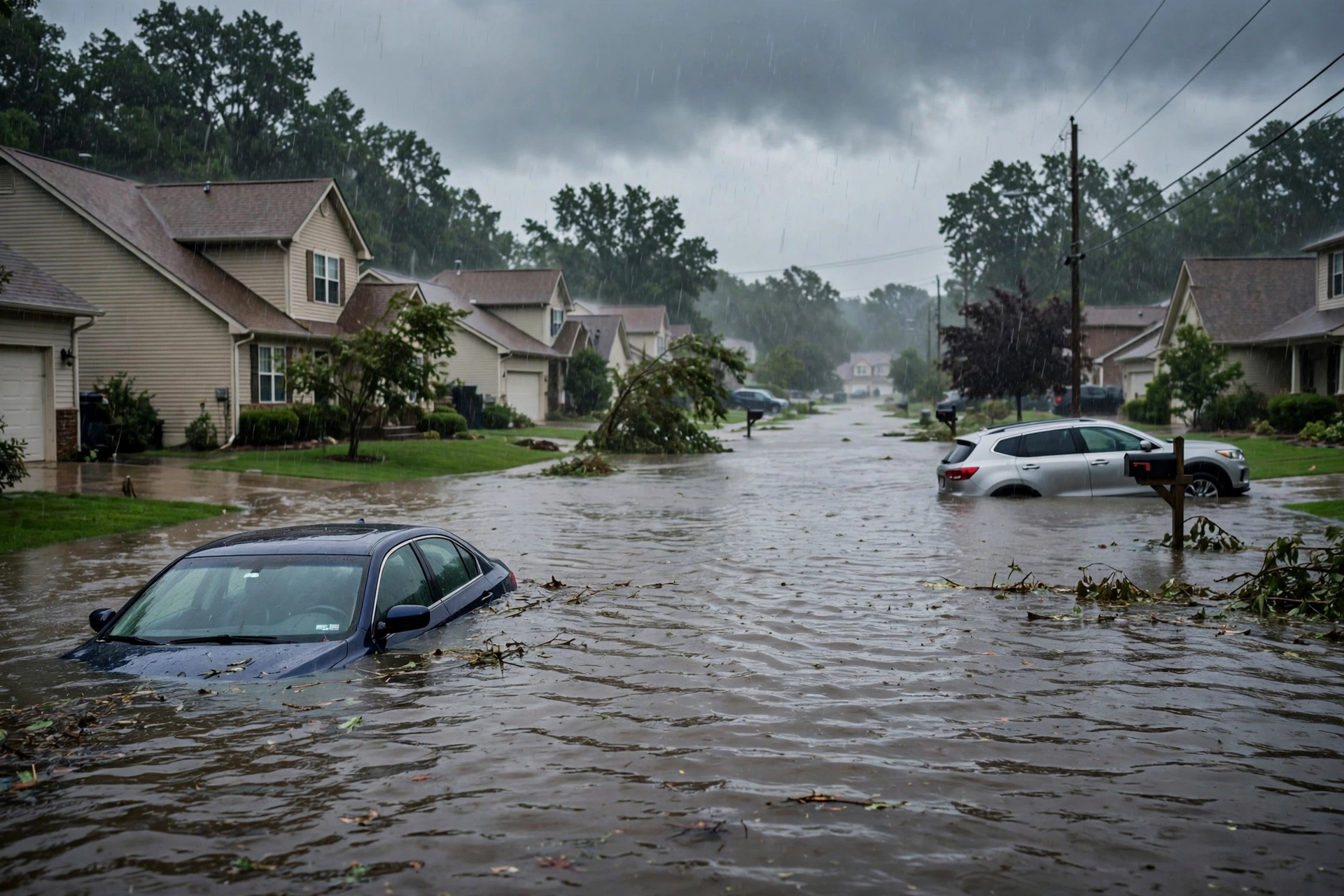
Tropical: None · Severe: None · Flood: Quiet
What Changed
- Compared with this morning’s pulse table (quiet-pulse-2026-11-05-morning: Tropical: None · Severe: None · Flood: Quiet): SPC Day 1 Convective Outlook (0100 UTC November 6 / 0700 PM CST Thursday November 5 2026 by Lyons, valid 060100Z–061200Z) continues “NO SEVERE THUNDERSTORM AREAS FORECAST.” Severe storms remain unlikely tonight. Prior Southeast Marginal remains closed. No convective watches or mesoscale discussions valid.
- WPC Day 1 Excessive Rainfall Outlook (updated 0020 UTC November 6 / discussion 725 PM EST November 5 by Bann, valid 01 UTC Nov 06–12 UTC Nov 06) continues to show the probability of rainfall exceeding flash flood guidance less than 5 percent nationally. Prior Marginal areas closed. No Moderate or higher.
- National Weather Service Flash Flood Warning for Fannin, Gilmer, northwestern Union, and Murray Counties in north-central Georgia remains expired. No active flash flood warnings of note on the CONUS severe or flood lanes. A Flood Watch remains in effect for parts of Massachusetts and Rhode Island. Residual Flood Warnings persist on some western rivers.
- No tropical storm or hurricane watch or warning on the U.S. coast or Gulf. NHC confirms no tropical cyclones in the Atlantic, Caribbean, or Gulf of America. A broad non-tropical low a few hundred miles south of Bermuda holds a low (30%) chance through 48 hours and medium (40%) through 7 days of acquiring subtropical characteristics while moving slowly eastward; no U.S. land threat.
- Nothing moved into Slight or higher on SPC or Moderate or higher on WPC ERO. Quiet Pulse criteria hold. Isolated stronger wind gusts possible overnight in DelMarVa into southern NY/NJ with fast-moving storms, but no severe probabilities.
Live Status
As of the afternoon desk on Thursday, November 5, 2026 (approximately 9:17 PM PST / 05:17 UTC November 6), the national picture remains a Quiet Pulse. The Storm Prediction Center’s latest Day 1 Convective Outlook states: “NO SEVERE THUNDERSTORM AREAS FORECAST. Severe storms remain unlikely tonight.” Isolated thunderstorms remain possible this evening and overnight from the Mid-Atlantic into southern New England and the Carolinas ahead of a weak front. Strong winds aloft will produce fast-moving storms, but near-surface buoyancy remains limited; the surface-based threat and risk of damaging winds is low. Occasional stronger gust possible overnight across DelMarVa into southern NY/NJ. No organized severe threat. No mesoscale discussions in effect.
WPC Day 1 holds no excessive rainfall risk areas. The overnight Flash Flood Warning in north Georgia has expired. Residual runoff or minor urban ponding is possible where earlier heavy rain fell, but no widespread flash flood threat remains on Day 1. No tropical component.
Hotspots
Mid-Atlantic into southern New England and Carolinas: Isolated thunderstorms possible this evening into overnight along and ahead of the front. Fast-moving cells under strong winds aloft, limited surface-based threat after dark. Occasional gusty winds possible; no severe area. Flood Watch active for portions of MA/RI. Day 2 WPC carries a Slight Risk of excessive rainfall across parts of southeastern New England.
Southern Kansas / northern Oklahoma residual: Scattered elevated thunderstorms earlier under a mid-level shortwave. Elevated nature limited surface severe potential. No risk area remains.
North-central Georgia residual: Prior Flash Flood Warning expired. Ocoee River and surrounding terrain saw heavy overnight rain; monitor for lingering high water on roads and small streams. No active warning.
Just Hit
Overnight into early Thursday: Flash Flood Warning and localized flooding in north-central Georgia (Fannin, Gilmer, Union, Murray Counties) from thunderstorms producing 1–2 inches per hour. Some reports of high water and impacts along the Georgia-Tennessee line. Activity has ended; warning expired. Local wind reports (trees, wires) in the Mid-Atlantic with the frontal passage.
Pulse Table
| Lane | Status | Notes (as of ~9:17 PM PST / 05:17 UTC Nov 6 2026) |
|---|---|---|
| Tropical | None | No tropical cyclones in the Atlantic, Caribbean, or Gulf. NHC: low (30% 48h) to medium (40% 7d) chance for western/central Atlantic non-tropical low to acquire subtropical characteristics, moving east; no U.S. coastal or Gulf watches or warnings. |
| Severe | None | SPC Day 1 (0100Z Nov 6): NO SEVERE THUNDERSTORM AREAS FORECAST. Prior Southeast Marginal closed. Isolated storms possible Mid-Atlantic/New England. No watches or MDs valid. Occasional stronger gust possible overnight DelMarVa/NY/NJ only. |
| Flood | Quiet | WPC Day 1 ERO: probability of exceeding FFG less than 5 percent. Prior Marginal areas closed. Georgia FFW expired. Flood Watch MA/RI. No active CONUS flash flood warnings of note. Residual minor runoff possible. Day 2 Slight Risk SE New England. |
Rising Queries
Trends unreachable this run. No invented queries.
Restoration Read
Quiet Pulse. Primary residual ticket is minor water intrusion or high water on roads from the expired north Georgia Flash Flood Warning and earlier Southeast rainfall, plus isolated tree/wire work from frontal winds in the Mid-Atlantic. No organized severe damage expected. No tropical component. Monitor local NWS for any lingering advisories and the Day 2 Slight flood risk in southeastern New England. Turn around, don’t drown.
What This Is Not
This is a Quiet Pulse. No SPC Slight or higher severe risk on the latest Day 1 outlook. No WPC Moderate or higher excessive rainfall on Day 1. No tropical storm or hurricane watch or warning on the U.S. coast or Gulf. This desk summarizes public products from the SPC, WPC, NWS, and NHC.
Looking Ahead
Day 2 WPC Excessive Rainfall Outlook carries a Slight Risk across parts of southeastern New England (Rhode Island into southeastern Massachusetts). Rain continues from the Northeast to the Southeast into Friday. No severe areas expected on Day 1. Monitor for potential flood concerns in New England overnight into Friday.
Sources
Official products: Storm Prediction Center (Day 1 Outlook 0100 UTC November 6), Weather Prediction Center (Day 1 Excessive Rainfall Outlook and discussion ~725 PM EST November 5), National Weather Service (watches, warnings, and advisories), National Hurricane Center (Atlantic quiet). Previous desk: quiet-pulse-2026-11-05-morning.
Disclaimer: This is a summary of official public products from the Storm Prediction Center, Weather Prediction Center, National Weather Service, and National Hurricane Center. Always consult the latest official forecasts and warnings for your location. This desk does not issue warnings. Turn around, don’t drown.