Tropical: Hurricane Warning live · Severe: Slight · Flood: High
This is the Friday evening Storm Tracker desk for October 9, 2026. Hurricane Isaias has made landfall near Destin, Florida. The center is now inland over the western Florida Panhandle. Damaging winds and flash-flooding threats are spreading inland. The Storm Prediction Center 0100 UTC Day 1 convective outlook, updated 7:58 p.m. CDT Friday, keeps a Slight Risk of severe thunderstorms from parts of the Florida Panhandle into southeast Alabama and southwest Georgia. Tornado Watch 678 is live until 6:00 a.m. EDT Saturday. The Weather Prediction Center holds a High Risk of excessive rainfall from the Florida Big Bend into southern Georgia, with a Moderate Risk nearer the track. Restoration exposure remains wind and surge on the coast, freshwater flooding inland, tornadoes in the eastern bands, and trees on roofs and lines as the circulation moves north.
What changed
- Isaias made landfall near Destin, Florida, around 8:30 p.m. CDT as a Category 2 with maximum sustained winds of 105 mph. By the 10:00 p.m. CDT advisory the center was inland near 30.8N 86.5W, about 45 miles east-northeast of Pensacola, with winds down to 90 mph and motion north at 20 mph.
- Tornado Watch 677 has been replaced by Tornado Watch 678, issued at 8:50 p.m. EDT and valid until 6:00 a.m. EDT Saturday for portions of the Florida Panhandle and Big Bend and far southern Georgia. A couple of tornadoes remain possible in the outer rain bands.
- WPC upgraded the Day 1 Excessive Rainfall Outlook. A High Risk now covers the Florida Big Bend into southern Georgia for a training band capable of 3–6 inches per hour and double-digit totals. A Moderate Risk continues nearer the track from the Panhandle into southern Alabama.
- Hurricane Warning remains in effect from the Mississippi/Alabama border to the Bay/Gulf County line in Florida. Storm Surge Warning runs from Dauphin Island, Alabama, to the Suwannee River. Some western portions of earlier warnings have been discontinued as the center moves inland.
- SPC Day 1 Slight Risk area is now about 18,129 square miles and 1.1 million people, focused on Tallahassee, Dothan, Valdosta and nearby centers. No other organized severe area exists on the board.
What is live this evening
National Hurricane Center Advisory 14 at 10:00 p.m. CDT Friday places the center of Hurricane Isaias near latitude 30.8 North, longitude 86.5 West, about 45 miles east-northeast of Pensacola and about 65 miles northwest of Panama City. Maximum sustained winds are near 90 mph. Hurricane-force winds extend outward up to 35 miles; tropical-storm-force winds extend outward up to 160 miles. Minimum pressure is 982 mb. On the forecast track the center moves across Alabama and into the Tennessee Valley Saturday and Sunday. Continued weakening is expected, but gusty winds will persist well inland through Saturday even after the system becomes post-tropical.
Storm-surge heights if the peak arrives near high tide: 3–5 feet from Dauphin Island, Alabama, to the Aucilla River, Florida; 2–4 feet from the Aucilla River to the Suwannee River and in Mobile Bay. Hurricane conditions, particularly in gusts, are expected through early Saturday within the Hurricane Warning area. Hurricane-force winds are expected to spread inland as far as 100 miles from the coast into southern Alabama. Rainfall of 4–8 inches is forecast from Friday through the weekend across southern Alabama, the Florida Panhandle and Big Bend, and southwest Georgia, with localized totals up to 15 inches in banding, especially the Florida Panhandle and Big Bend. Another 2–5 inches is expected across much of the remainder of the Southeast, locally up to 10 inches toward the southern Appalachians and coastal Carolinas.
SPC’s 0100 UTC Day 1 outlook notes the center of Isaias is currently near the Florida coast. Thunderstorms associated with the hurricane will move inland this evening into the overnight. Rotating cells could be associated with a tornado threat, mainly from the Florida Panhandle northward into southeast Alabama and southwest Georgia. The latest WSR-88D VWPs in the Florida Panhandle show strong low-level shear with large looped hodographs. Tornado Watch 678 covers the Florida Panhandle and Big Bend and far southern Georgia until 6:00 a.m. EDT. Primary threat language is a couple of tornadoes possible.
WPC Day 1 Excessive Rainfall Outlook, updated 8:59 p.m. EDT Friday and valid 01Z–12Z Saturday, carries a High Risk from the Florida Big Bend into southern Georgia. Core convection is diminishing, but a training band of deluge is expected to be efficient from roughly 06Z onward east of Apalachicola, with access to 2000+ J/kg CAPE and 25–50 kt shear. Hourly amounts of 3–6 inches and storm totals of 10+ inches are possible if the band trains. A Moderate Risk remains nearer the track from the Panhandle into southern Alabama. Numerous instances of flash flooding are likely, some significant.
Hotspot 1 — Western Florida Panhandle landfall corridor
Destin, Fort Walton Beach, Niceville, Crestview, Pensacola, Gulf Breeze and Navarre sit in the immediate wind and surge corridor. The center crossed the Okaloosa County coast near Destin around 8:30 p.m. CDT. Extreme Wind Warnings and Flash Flood Emergencies were issued earlier in the evening for southern Okaloosa and adjacent counties. Hundreds of thousands of customers are already without power across Florida and Alabama.
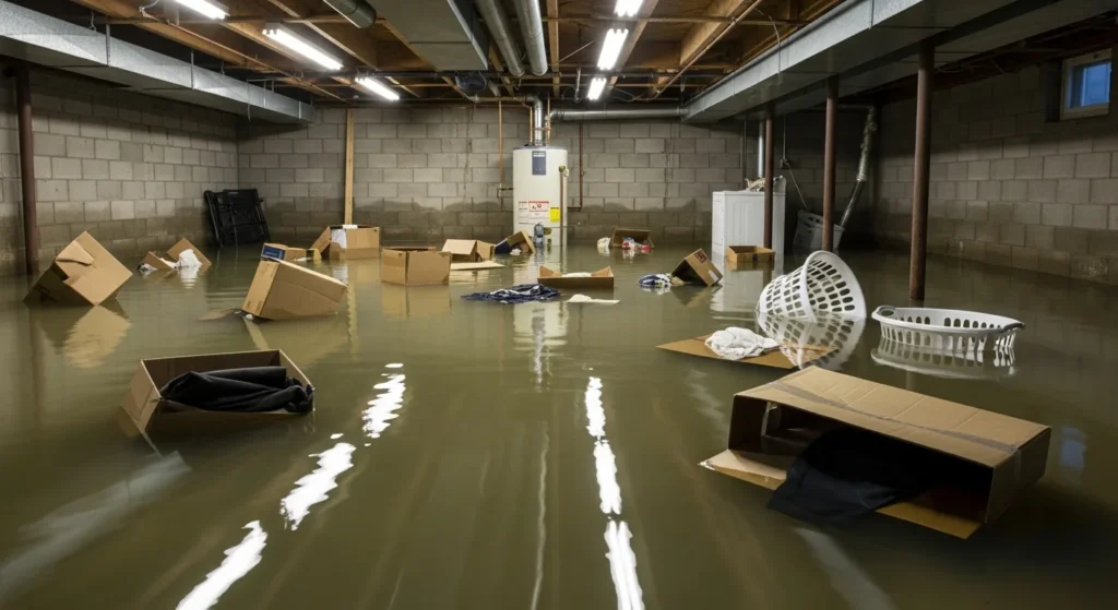
Restoration read: coastal tickets are wind plus saltwater inundation. Do not treat this as a daytime roof walk. Stage extraction and board-up outside the surge zone. Inland tickets behind the coast are roof, siding and trees once the wind field arrives. Photograph only if it is safe and the warning allows it.
Hotspot 2 — Eastern Panhandle, Big Bend and southwest Georgia bands
Panama City, Apalachicola, Tallahassee, Cross City, Valdosta and Thomasville sit under Tornado Watch 678 and the WPC High Risk. SPC expects the main tornado threat this evening and overnight with supercells east of the hurricane core interacting with a surface warm front. The training band east of Apalachicola is the rainfall maximum threat.
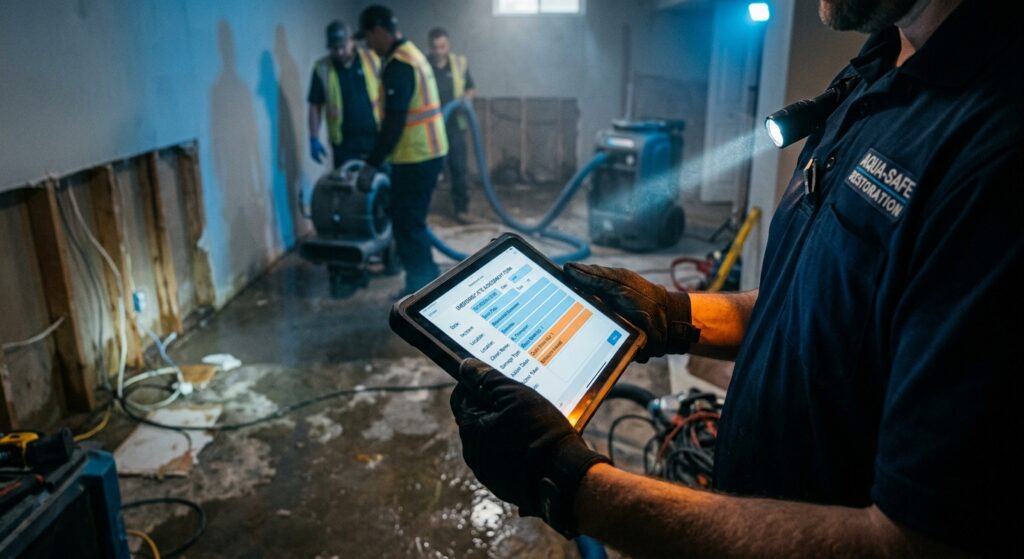
Restoration read: tornado swaths are narrow. Staff them as local surveys. The water ticket is wider. A training band is wet drywall and a same-night extraction clock if water gets inside. Turn around, don’t drown, on low crossings in the Big Bend and southwest Georgia tonight.
Hotspot 3 — Southeast Alabama and the inland track
Dothan, Ozark and far southeast Alabama remain inside the Slight Risk. Southern Alabama sits in the WPC Moderate excessive-rainfall area. Farther north, central Alabama and the Tennessee Valley are the Saturday wind and water desk as the center tracks inland. Tropical Storm Warnings cover a broad swath of Alabama.
Restoration read: southeast Alabama can take both a tornado and a flood ticket tonight. Central Alabama is more of a Saturday water and tree desk. Do not send the same crew to the Panhandle surge zone and the Dothan band without checking which county has the warning now.
Just hit
SPC’s preliminary local storm report page for the Friday 12 UTC cycle showed limited filtered reports at desk time; hurricane-related wind reports are not decoded into the standard LSR table. Flash Flood Warnings and Flash Flood Emergencies are active across the western Panhandle and southern Alabama. Morning companion for this date: Storm Updates: Isaias Slight Tornado Risk, Gulf Landfall Tonight — Friday, October 9, 2026 (Morning). Storm hub: Hurricane Isaias 2026.
Pulse table
| Region | Main threats | SPC / NWS / WPC level | Status this evening |
|---|---|---|---|
| Western FL Panhandle near Destin / Pensacola | Hurricane wind, surge 3–5 ft, heavy rain | Hurricane Warning; center inland 90 mph | Landfall complete; winds spreading inland |
| FL Panhandle / Big Bend / far S Georgia | Tornadoes in bands, extreme rain rates | Slight + Tornado Watch 678 to 6 a.m. EDT; WPC High | Live watch and High flood risk |
| Southern Alabama | Heavy rain, residual wind | WPC Moderate; Tropical Storm Warning inland | Ongoing overnight |
| Rest of the U.S. severe board | No other organized severe area | No other watches | Quiet |
What this means for restoration teams
Tonight’s board is a completed hurricane landfall plus a continuing tornado watch on the east side, not a plains squall line. Hurricane-force wind is roof, structure and long power-outage work near the coast and up to about 100 miles inland into southern Alabama. Surge is a different ticket from rain: saltwater, contents and dry-out on the immediate coast. The High flood risk is freshwater on top of that, especially if the eastern band trains. A tornado, if one occurs inside Watch 678, is a narrow swath for a damage survey.
For teams already in the warning area: finish exterior work and get to shelter. Do not plan an arrival inside the hurricane warning tonight. For teams outside it: stage toward Saturday morning inland of the surge, not toward the beaches after dark. Property owners should follow local evacuation orders, then photograph damage in daylight if it is safe, call the carrier, and start extraction the same day water is inside.
What this is not
This is not a derecho. It is not a Midwest outbreak. Landfall has occurred; the center is inland. It is not a verified multi-tornado outbreak yet; filtered LSRs remain limited. Do not invent a damage path. The hazards that are organized are the Hurricane Warning, the Storm Surge Warning, Tornado Watch 678, the SPC Slight Risk, and the WPC High and Moderate flood risks.
Looking ahead
Saturday remains a tornado day on the east side of the circulation. The SPC Day 2 outlook keeps a Slight Risk from the Florida Big Bend across much of southern and central Georgia into central South Carolina. A few tornadoes are possible from the Florida Panhandle into parts of Georgia and the Carolinas Saturday into Saturday evening. NHC expects continued weakening, with the system likely post-tropical by late Saturday as it moves toward Tennessee and the central Appalachians. Rain and residual wind, not a second Gulf landfall, are the Saturday–Sunday inland story. Watch the next Storm Tracker update rather than treating 6 a.m. EDT as the end of the tornado window.
Rising queries
Google Trends (US, evening of 9 Oct 2026) shows rising interest tied to the landfall: “hurricane storm isaias” (200K+ searches, active), “huracán isaias” (top trending), “tornado watch” variants, “high wind warning” and “Florida Panhandle power outage.”
Sources and how to verify
Primary sources, all dated Friday, October 9, 2026: NOAA Storm Prediction Center 0100 UTC Day 1 Convective Outlook (updated 00:58 UTC Oct 10); Tornado Watch 678 (issued 0050 UTC Oct 10, expires 1000 UTC Oct 10); Weather Prediction Center Day 1 Excessive Rainfall Outlook (updated 0128 UTC Oct 10); National Hurricane Center Hurricane Isaias Advisory 14 at 10:00 p.m. CDT. Morning desk: Friday, October 9, 2026 morning Storm Updates. Hub: Hurricane Isaias 2026.
Check weather.gov for the county warning, spc.noaa.gov for the outlook, watch and local storm reports, WPC excessive rainfall for the flood overlay, and nhc.noaa.gov for the latest Isaias advisory.
Informational only — not an official weather warning. Follow local authorities and the National Weather Service. Turn around, don’t drown.