Tropical: None · Severe: Marginal · Flood: Slight
What Changed
- Compared with this morning’s pulse table (quiet-pulse-2026-11-03-morning: Tropical: None · Severe: Marginal · Flood: Slight): SPC Day 1 (2000 UTC November 3, issued 0200 PM CST) holds the Marginal Risk from the Lower Mississippi/Tennessee Valleys into the Mid Mississippi Valley (~213,741 sq mi). No upgrade or contraction of note.
- WPC Day 1 Excessive Rainfall Outlook (updated 0058 UTC Wednesday November 4 / discussion 808 PM EST November 3 by Chenard) maintains the Slight Risk across portions of Mississippi and Tennessee and over parts of Southeast Florida. Considered a drop to Marginal based on progressive line and lower rates but kept Slight for potential low-level jet uptick and training overnight.
- No convective watches currently valid. Prior Plains Tornado Watches expired. Preliminary LSRs remain limited to three tree-down wind reports (Magnolia AR, Doyline LA). Active Flash Flood Warnings continue in northern Broward County FL (until 1100 PM EST) and Coconino County AZ (Havasu Creek basin, extended until 900 PM MST).
- Tropical lane remains None. National Hurricane Center confirms no tropical cyclones in the Atlantic, Caribbean, or Gulf. Western Atlantic disturbance holds low formation chances; no U.S. coastal or Gulf watches or warnings.
As of the afternoon desk on Tuesday, November 3, 2026 (approximately 8:16 PM PST / 04:16 UTC November 4), the national picture is a Quiet Pulse. The Storm Prediction Center’s latest Day 1 Convective Outlook (2000 UTC November 3) states: “THERE IS A MARGINAL RISK OF SEVERE THUNDERSTORMS FROM THE LOWER MS/TN VALLEYS INTO THE MID MS VALLEY.” Isolated severe wind gusts and perhaps a brief tornado or two remain possible this afternoon and tonight from the Sabine and Lower Mississippi Valleys northward into the Mid Mississippi Valley.
What Is Live
SPC Day 1 (2000Z November 3 / 2:00 PM CST) lists a Marginal Risk (Level 1 of 5) covering ~213,741 square miles and ~17.5 million people, including Memphis, Nashville, St. Louis, Des Moines, and Little Rock. Strongest activity focused in advance of a speed max across northwest Louisiana with a few supercell structures and bowing segments expected to spread eastward into the Ark-La-Miss this evening. Low-level shear has peaked; threat is isolated wind damage and a tornado or two into tonight toward northwest Alabama. Farther north into the Mid Mississippi Valley, buoyancy is limited; any isolated low-topped supercells or line segments carry a lower-end wind threat.
WPC Day 1 Excessive Rainfall Outlook (valid 01 UTC November 4 – 12 UTC November 4) holds a Slight Risk (Level 2 of 4) from portions of central Mississippi into central Tennessee where eastward-moving convection may pose an isolated to scattered flash flood risk through the overnight hours. A small Slight Risk also covers parts of Southeast Florida for conditional flash flooding along the urban corridor. Residual Flood Warnings and Flash Flood Warnings remain active in parts of Florida and Arizona. No Moderate or higher ERO.
No convective watches are currently valid. Mesoscale discussions from earlier in the day have expired. Preliminary local storm reports for today include tree-down reports 2 S Magnolia (Columbia County, AR) and 1 N Doyline (Webster County, LA). No tornado or hail reports received.
Hotspots
Lower Mississippi to Tennessee Valleys (AR/LA/MS/TN/KY): Marginal severe (isolated wind/brief tornado) overlapping Slight excessive rainfall. Training risk noted over Mississippi into Tennessee overnight with increasing low-level jet. Primary residual concern is localized flash flooding and tree/wind damage on progressive line segments.
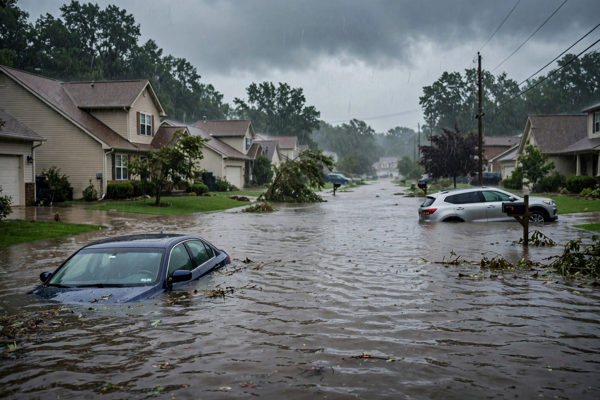
Southeast Florida: Small Slight Risk ERO for additional heavy downpours on saturated soils from multi-day rainfall. Active Flash Flood Warning for northern Broward County until 1100 PM EST; residual Flood Warnings continue. Localized urban/street flooding remains possible.
Mid Mississippi Valley (MO/IA) and residual Arizona: Northern edge of the Marginal Risk with limited buoyancy supporting only isolated low-topped activity. Separate residual Flash Flood Warning continues for the Havasu Creek basin in Coconino County, Arizona.
Just-Hit
Preliminary LSRs (as of the SPC today page, 1200 UTC November 3 – 1159 UTC November 4): wind reports of trees down on AR-19 south of Magnolia (Columbia County, AR) at 1815/1850 UTC and on LA-164 near Doyline (Webster County, LA) at 1908 UTC. No tornado or hail reports received. Prior Plains activity has cleared eastward.
Pulse Table
| Lane | Status | Notes (as of ~8:16 PM PST / 04:16 UTC Nov 4 2026) |
|---|---|---|
| Tropical | None | No tropical cyclones in the Atlantic, Caribbean, or Gulf. NHC: low chance for western Atlantic disturbance; no U.S. coastal or Gulf watches or warnings. |
| Severe | Marginal | SPC Day 1 (2000Z Nov 3): MARGINAL RISK Lower MS/TN into Mid MS Valley (~214k sq mi). Prior Plains Slight closed. No watches valid. Isolated wind/brief tornado possible. |
| Flood | Slight | WPC Day 1 Slight Risk MS/TN and SE Florida. Active FFWs Broward FL and Coconino AZ. Residual Flood Warnings. No Moderate or higher. |
Restoration Read
Quiet Pulse with an elevated residual flood lane and isolated severe potential. Primary short-term ticket is localized flash flooding and rapid runoff in the Lower Mississippi Valley/Mid-South and Southeast Florida under the Slight ERO, on already saturated soils from multi-day rainfall, plus minor tree/wind damage from isolated gusts in the Marginal Risk area. Monitor active Flash Flood Warnings in Broward County FL and residual water in Arizona. No organized widespread damage expected. Monitor for water intrusion, debris, high water on roads, and residual coastal flooding. Turn around, don’t drown.
What This Is Not
This is a Quiet Pulse. No SPC Slight or higher severe risk on the latest Day 1 outlook. No WPC Moderate or higher excessive rainfall on Day 1. No tropical storm or hurricane watch or warning on the U.S. coast or Gulf. This desk summarizes public products from the SPC, WPC, NWS, and NHC.
Looking Ahead One Day
Day 2 ERO shows Marginal Risk remaining over Southeast Florida and from the Tennessee Valley into the Lower Ohio Valley/Southern Appalachians. Severe threat is expected to diminish further as the system progresses east. Drier conditions building behind the front across much of the Plains and Mid-South.
Rising Queries
tornado warning, flash flood warning, florida flooding, mississippi valley storms, southeast florida rain.
Sources
Official products: Storm Prediction Center (Day 1 Outlook 2000Z November 3, today’s LSRs), Weather Prediction Center (Day 1 Excessive Rainfall Outlook and discussion 808 PM EST November 3), National Weather Service (watches, warnings, residual Flood/Flash Flood Warnings including Broward FL and Coconino AZ), National Hurricane Center (Atlantic quiet, no tropical cyclones). This morning’s desk: quiet-pulse-2026-11-03-morning.
Disclaimer: This is a summary of official public products from the Storm Prediction Center, Weather Prediction Center, National Weather Service, and National Hurricane Center. Informational only — not an official weather warning. Always check weather.gov for local forecasts and warnings. Turn around, don’t drown.
Get The Signal
What we actually ran, what it measured, and what it means for a restoration shop — every week, including the flops.
Leave a Reply