As of the afternoon desk on Saturday, October 31, 2026 (approximately 9:15 PM PDT / 04:15 UTC November 1), the national picture remains a Quiet Pulse. The Storm Prediction Center’s latest Day 1 Convective Outlook (0100 UTC update issued 0752 PM CDT October 31, valid 010100Z–011200Z) states: “NO SEVERE THUNDERSTORM AREAS FORECAST.” No severe threat is forecast across the U.S. through tonight. The Weather Prediction Center Day 1 Excessive Rainfall Outlook (updated 0003 UTC November 1) maintains a Slight Risk of excessive rainfall for portions of central Arizona. No tropical storm or hurricane watch or warning is in effect on the U.S. coast or Gulf of America.
Tropical: None · Severe: None · Flood: Slight
What Changed
- Compared with this morning’s pulse table (quiet-pulse-2026-10-31-morning: Tropical: None · Severe: None · Flood: Slight): SPC Day 1 continues with no severe thunderstorm areas forecast. The 0100 UTC November 1 update confirms organized severe potential remains closed through tonight. No convective watches or mesoscale discussions are valid.
- WPC Day 1 Excessive Rainfall Outlook holds the Slight Risk for portions of central Arizona, with adjustments expanding it slightly southward based on observational trends. Active Flood and Flash Flood Warnings continue in Maricopa and Gila Counties, Arizona, on saturated soils from recent heavy rain. No upgrade to Moderate or higher.
- NHC Atlantic outlook (800 PM EDT October 31): no tropical cyclones; formation not expected during the next 7 days. No U.S. coastal or Gulf watches or warnings.
- Additional local alerts include Coastal Flood Warnings in the Florida Keys and eastern Putnam County, residual Flash Flood Warnings in portions of Louisiana, Mississippi, Nevada, and Hawaii, a High Wind Watch for the Guadalupe Mountains (NM/TX), and Winter Storm Warnings in Alaska. None open a national Slight/Moderate or tropical lane.
- Nothing moved to SPC Slight or above, WPC Moderate or above, or opened a U.S. tropical watch/warning. Quiet Pulse criteria hold. Dominant residual ticket remains the Slight excessive rainfall risk and localized flash flooding in central Arizona.
Live Status
SPC Day 1 (0100Z November 1) confirms no severe thunderstorm areas forecast through 12Z November 1. Isolated to scattered thunderstorms remain possible across parts of the lower Mississippi Valley into Florida and isolated convection across the western CONUS including southern Arizona and southern Nevada. Limited instability and shear preclude organized severe storms. No watches or MDs in effect.
WPC Day 1 ERO places a Slight Risk of excessive rainfall for portions of central Arizona associated with the start of a brief atmospheric river (pineapple express) event overnight into Sunday. Soils remain saturated from recent heavy rainfall. No Moderate or higher risk nationally.
Hotspots
- Central Arizona: Primary focus under the WPC Slight Risk. Flood Warnings remain in effect for Maricopa and Gila Counties from excessive rainfall and ongoing runoff. Additional heavy rainfall tonight into Sunday will exacerbate flash flooding on saturated soils, low-water crossings, and urban areas including the Phoenix metro.
- Lower Mississippi Valley and Florida: Isolated to scattered thunderstorms possible through tonight. No severe threat. Residual Coastal Flood Warnings continue in the Florida Keys and eastern Putnam County.
- Scattered local alerts: Residual Flash Flood Warnings in parts of Louisiana, Mississippi, Nevada, and Hawaii; High Wind Watch for the Guadalupe Mountains of New Mexico and west Texas; Winter Storm Warning for the Klondike Highway area in Alaska.
Just-Hit
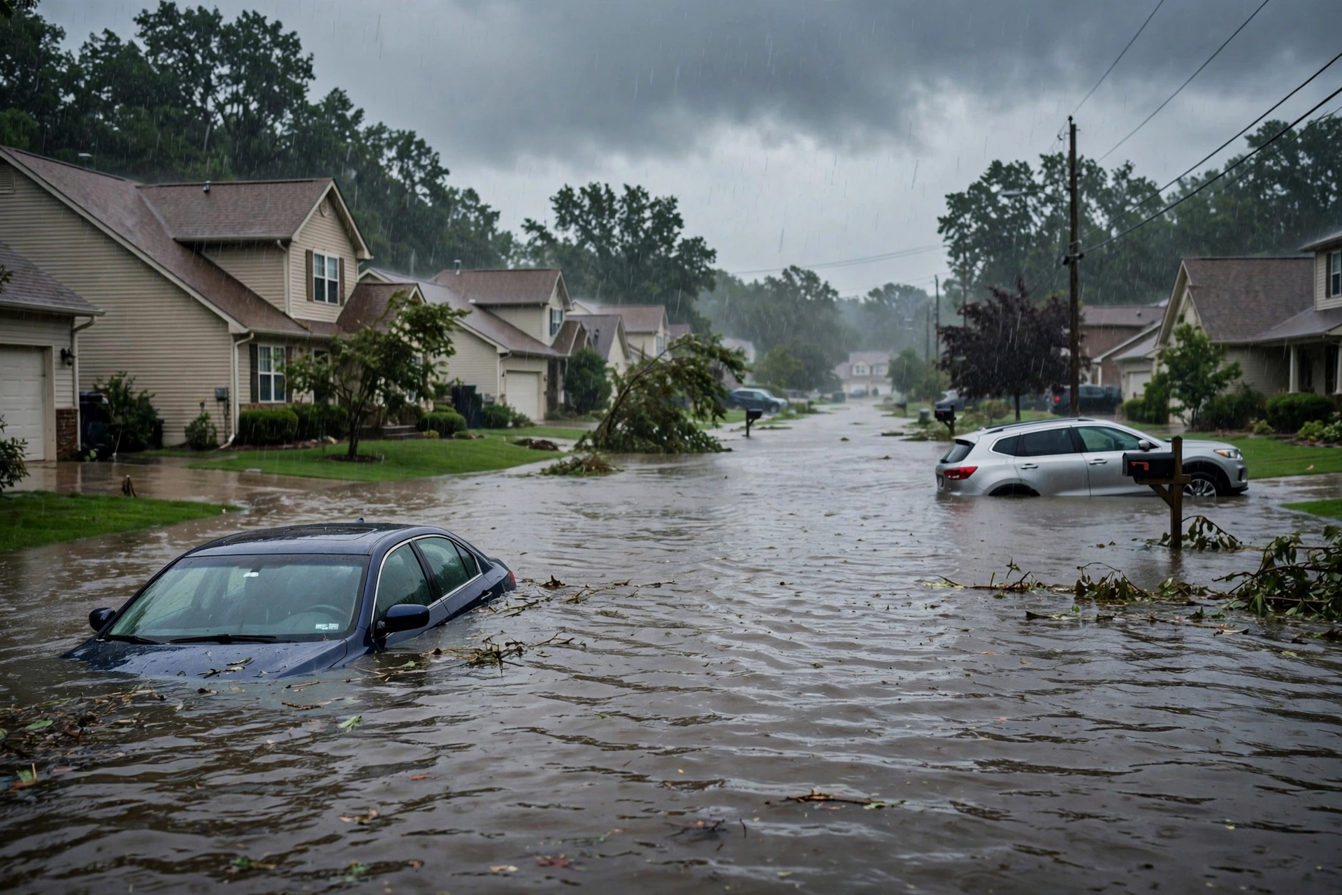
Earlier Friday evening into Saturday morning, flash flooding in the Phoenix metro produced multiple water rescues of occupants from vehicles stalled in washes and flooded streets (including near Stanford Drive). Flood Warnings continue for ongoing runoff. No widespread tornado or significant severe wind/hail reports logged for the current Day 1 period.
Pulse Table
| Lane | Status | Notes (as of ~9:15 PM PDT / 04:15 UTC Nov 1 2026) |
|---|---|---|
| Tropical | None | No tropical cyclones in the Atlantic. NHC: formation not expected next 7 days. No coastal or Gulf watches or warnings. |
| Severe | None | SPC Day 1 (0100Z Nov 1): NO SEVERE THUNDERSTORM AREAS FORECAST. Isolated storms possible SW and lower MS Valley/FL. No active watches or MDs. |
| Flood | Slight | WPC Day 1 ERO Slight Risk central Arizona. Active Flood/Flash Flood Warnings in Maricopa and Gila Counties AZ. Residual coastal Flood Warnings in FL. No Moderate or higher. |
Restoration Read
Quiet Pulse with an elevated flood lane. Primary short-term ticket is flash flooding and rapid runoff in central Arizona (especially Maricopa County / Phoenix metro and Gila County) under the Slight Risk and active warnings, on already saturated soils. Additional rainfall tonight into Sunday will prolong the threat. No organized severe damage expected. Residual coastal flooding in Florida. Monitor for water intrusion, debris, and high water on roads. Turn around, don’t drown.
What This Is Not
This is a Quiet Pulse. No SPC Slight or higher severe risk on the latest Day 1 outlook. No WPC Moderate or higher excessive rainfall. No tropical storm or hurricane watch or warning on the U.S. coast or Gulf of America. This desk summarizes public products from the SPC, WPC, NWS, and NHC.
Looking Ahead One Day
Sunday: SPC Day 2 holds a Marginal Risk of severe thunderstorms from southern Arizona across New Mexico to the western Texas Panhandle for isolated damaging gusts and a couple of tornadoes possible. WPC outlooks point to continued heavy rain potential across the Southwest from the atmospheric river. Flood risk remains elevated in Arizona. No tropical development expected.
Rising Queries
Trends unreachable.
Sources
- SPC Day 1 Convective Outlook (0100 UTC Nov 1 2026 / 0752 PM CDT Oct 31): spc.noaa.gov
- WPC Day 1 Excessive Rainfall Outlook (updated 0003 UTC Nov 1): wpc.ncep.noaa.gov
- NHC Atlantic Tropical Weather Outlook (800 PM EDT, Oct 31 2026): nhc.noaa.gov
- NWS Watches, Warnings & Advisories: weather.gov
- Morning desk: quiet-pulse-2026-10-31-morning
Disclaimer: This is a summary of official public products from the Storm Prediction Center, Weather Prediction Center, National Weather Service, and National Hurricane Center. Always consult the latest official forecasts and warnings for your location. This desk does not issue warnings.
Get The Signal
What we actually ran, what it measured, and what it means for a restoration shop — every week, including the flops.
Leave a Reply