The Storm Prediction Center has a Slight Risk of severe thunderstorms this afternoon and evening across parts of the Carolinas into southeastern Virginia. Damaging wind is the primary hazard. Isolated hail is possible. Behind that corridor, restoration crews are still working the multi-day Midwest and Mid-Atlantic wind event that produced Detroit’s first confirmed city tornado since 1997 and left tens of thousands without power heading into Labor Day weekend.
This is a live snapshot for Saturday, September 5, 2026, built from NOAA/NWS Storm Prediction Center products, National Weather Service watches and warnings, and public outage reports. Conditions change fast — always verify with the National Weather Service for your county or ZIP.
Current hotspots
Carolinas into southeastern Virginia — Slight Risk (damaging wind primary)
SPC’s 2000 UTC Day 1 outlook holds a Slight Risk from parts of the Carolinas into southeastern Virginia. Severe Thunderstorm Watches #656 and #657 have been in effect into the evening for large parts of central and eastern North Carolina and portions of South Carolina. Warnings have already gone out on individual cells in the Charlotte region, the Triangle, Forsyth and Nash counties, and nearby South Carolina counties.
Main threats: scattered damaging gusts (60 mph tagged on several warnings; locally higher possible) and isolated hail near 1 to 1.5 inches. Clusters are spreading east-southeast toward the coast this evening. Isolated redevelopment behind the main band cannot be ruled out.
Cities and metros in the risk area: Charlotte, Raleigh, Durham, Greensboro, Winston-Salem, Norfolk / Virginia Beach / Chesapeake, and upstate South Carolina communities under Watch 656.
Southeast Michigan — just hit (tornado + wind recovery)
Multiple rounds of severe weather hit Southeast Michigan on September 2–3. NWS Detroit confirmed an EF-0 in Lincoln Park and an EF-2 on the east side of Detroit — the first confirmed tornado in the city since July 2, 1997. A brief EF-0 also occurred in Marysville (St. Clair County) on the 2nd. Widespread straight-line wind damage, downed trees and lines, and heavy rain followed.
Peak outages in the metro ran into the hundreds of thousands earlier in the week. As of Saturday afternoon, tens of thousands remain without power in Michigan (DTE still reporting a large remaining outage total). Restoration of service is underway through the weekend.
Ohio Valley to Mid-Atlantic — residual wind and flood damage
The same multi-day pattern produced a long damage swath from Michigan through Ohio, Indiana, Kentucky, Pennsylvania, and into the Mid-Atlantic. Reports included 80+ mph winds (gusts near 99 mph were cited in the Gary, Indiana area), tornadoes, flash flooding, and tree-and-wire losses. Outage totals at the peak of the event exceeded 500,000 customers across the corridor. Saturday still shows elevated outages in Ohio, Pennsylvania, Virginia, and North Carolina on top of the new Carolina convection.
Recent 24-hour damage reports include trees on homes and lines in Tennessee, North Carolina, Virginia, and Ohio counties — the tail of the same system now feeding the Carolina risk.
Southwest — flash flood threat into Sunday
Monsoon moisture continues to support a flash-flood threat across parts of Arizona and Utah, including terrain around Grand Canyon, Zion, and Bryce Canyon. Those parks already saw significant flash flooding in recent days. Sunday remains the day to watch for park visitors and desert-wash travel. This is not a classic wind/hail CAT pulse; it is short-duration runoff in burns scars, slot canyons, and dry washes.
Tropics
No Atlantic hurricane is currently threatening the U.S. mainland. The 2026 Atlantic season remains below normal through early September, with no landfalling tropical cyclone driving this weekend’s restoration load. Pacific moisture (including remnants associated with eastern Pacific systems) is a contributor to the Southwest rain threat, not a Gulf or East Coast landfall.
What this means for restoration operators
- Carolinas / SE Virginia today: Stage for wind, tree, and envelope failures plus isolated hail. Commercial roofs, storefront glazing, and wet interiors behind failed soffits are the first walk after dark.
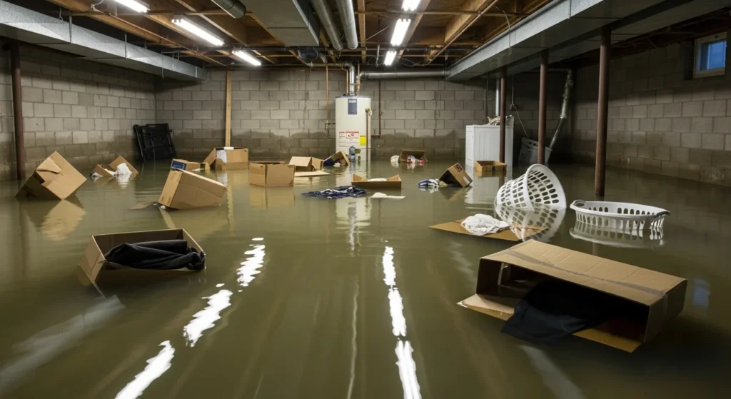
- Detroit / SE Michigan: Tornado and straight-line wind claims are already open. Photo roofs, HVAC, and contents before the next rain. Power-off buildings delay drying — treat standing interior water as a clock, not a wait-for-power problem.
- Ohio–PA–VA swath: Tree/wire/water day. Wind-driven rain through failed envelope. Treat overland flash-flood water as Category 3 until you prove otherwise.
- Southwest parks and desert metros Sunday: Rapid-onset wash and canyon flooding, not a wide hail swath. Board-up and water extraction on structures in low washes; do not send crews into active slot canyons.
Sunday look
The Slight Risk shifts south into parts of Georgia and South Carolina (Savannah, Columbia, Charleston, Augusta in the broader envelope). Flash flooding remains possible in the Southwest. Cooler air follows the front into the Northeast and Mid-Atlantic behind this weekend’s storms.
Sources
- SPC Day 1 Convective Outlook — 2000 UTC, Sep 5, 2026
- SPC current convective watches
- NWS Detroit — September 2–3, 2026 severe weather and Detroit tornado
- National Weather Service — county-level watches, warnings, and statements
This is a public-data summary for restoration professionals’ situational awareness only. It is not an official forecast. Always verify with the National Weather Service, local NWS offices, and official watches/warnings. Preliminary storm reports and outage totals can change. Do not make operational decisions solely on this brief.
Related on Tygart Media: Sept 2 storm updates · Aug 29 storm alerts. Full Daily Storm Pulse archive lives on Restoration Intel — Storm Damage.