The short version for developers: Snohomish County PUD’s new Everett-Delta 115-kV transmission line — 3.5 miles, connecting the Everett Substation to the Delta Switching Station near SR 529 / Marine View Drive — goes in service summer 2027. It adds the upstream transmission capacity PUD needs to connect the wave of new waterfront, downtown, and north-Everett developments at full load. If your building opens before summer 2027, confirm your electrical service agreement and any interim capacity arrangements with PUD now. If your opening is fall 2027 or later, you are in the planned capacity window.
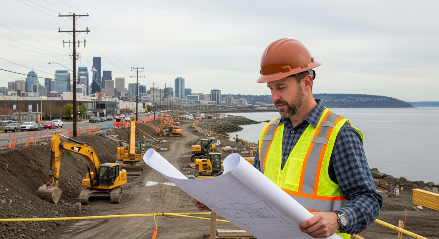
If you are developing, building out, or opening a business in Everett’s waterfront, downtown, or north-end corridor in 2026 or 2027, there is one piece of infrastructure that affects your electrical service capacity, your connection timeline, and your ability to run the systems your tenants and customers will expect. It is not a building permit. It is a power line.
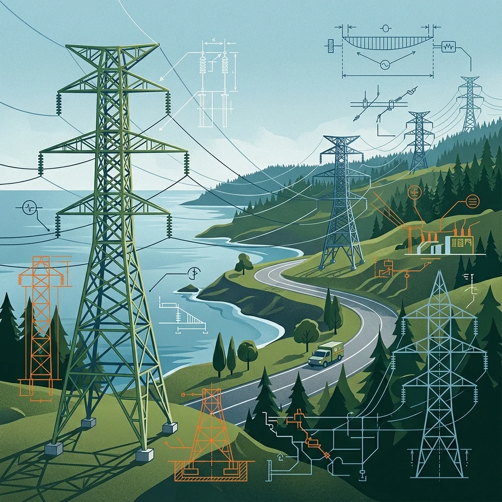
Snohomish County PUD’s new Everett-Delta 115-kilovolt transmission line is the upstream electrical capacity that the Millwright District, the downtown stadium, the Mosaic Apartments, and every other project in the corridor runs on. PUD held public open houses on May 7, 2026. Here is the business-owner and developer version of what you need to know. For the full project overview, see the complete Everett-Delta transmission line guide.
The Capacity Problem the Line Solves
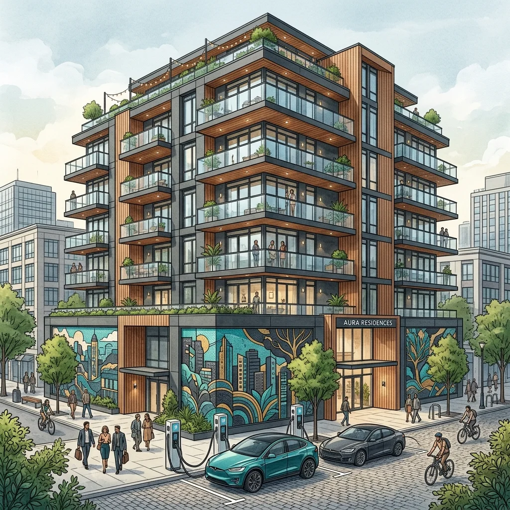
Every large building in the waterfront corridor pulls electrical load. A 300-unit multifamily building with heat pumps, EV charging infrastructure, and commercial amenity spaces runs approximately 1 to 1.5 megawatts of peak demand. A restaurant with commercial kitchen equipment adds another 100 to 300 kilowatts per tenant. Stack the Millwright District Phase 2, Mosaic Apartments, the downtown stadium, and the Sage Investment Group conversion on top of projects already open at Waterfront Place — and you have a concentration of new load the existing north Everett transmission system was not designed to absorb.
PUD’s language for why the line is being built is precise: “increasing electrical demand in the northern regions of the service territory” and “prevent the electric system from experiencing low voltage should local power be interrupted.” For a developer or building owner, that translates to: the existing infrastructure is operating with reduced headroom, and this line restores it.
What Goes In Service and When
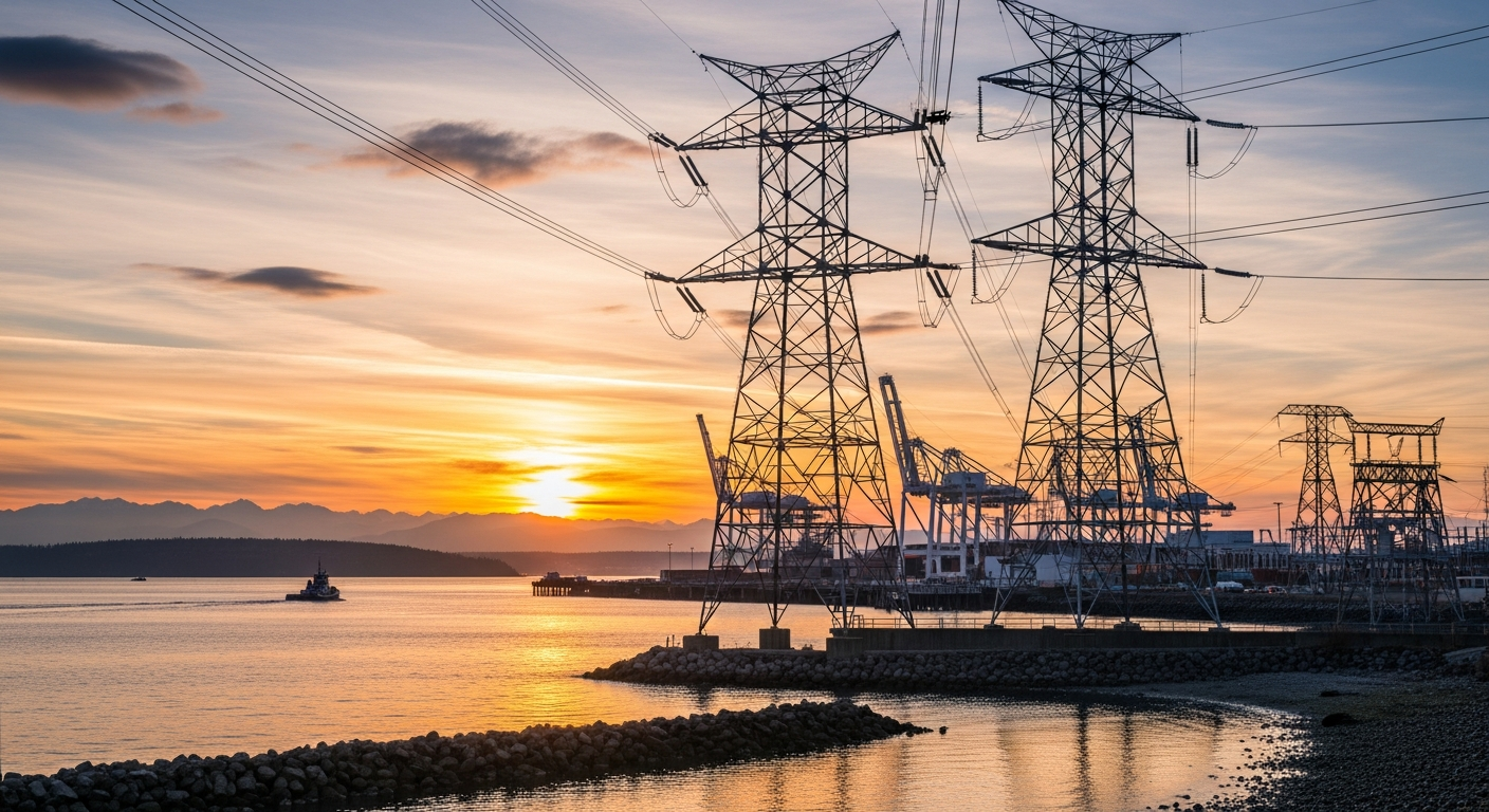
The line connects PUD’s Everett Substation (west of I-5, between McDougall and Smith avenues) to the Delta Switching Station near SR 529 and West Marine View Drive. Construction is targeted to begin spring 2027. The line is planned to be in service by summer 2027, approximately six months of construction.
The Practical Timeline Issue for Your Project
If your building or commercial space is targeting an opening in 2026 or early 2027, you are opening before the Everett-Delta line is in service. For large-load projects — multifamily, high-load commercial anchors, destination restaurants with significant kitchen/HVAC load — confirm directly with PUD whether your project falls within the pre-line capacity envelope or whether there are interim arrangements needed.
If your project is targeting a fall 2027 opening or later, you are timing well. PUD will have the upstream capacity in place and your service connection request goes into a queue that includes the new transmission headroom the Everett-Delta line creates.
The Reliability Dimension
Beyond raw capacity, the Everett-Delta line adds N-1 redundancy to the north Everett corridor. Once in service, PUD can reroute power around a failed line segment, maintaining voltage and continuity. For a restaurant, hotel, or high-density residential building where a power outage is a direct revenue and habitability event, this is a meaningful change in risk profile.
The New Substation Implication
PUD’s project documentation states the Everett-Delta line will “support at least one new substation in the Everett area” tied to the city’s 2044 Comprehensive Plan. The substation location has not been publicly announced. Developers planning projects in the 2028–2032 window should monitor PUD’s system improvements page for updates — the new substation’s location will directly affect which parts of the corridor have the most available service capacity after the line goes in. For the broader economic context, see the April 2026 Snohomish County market report.
How to Stay Current
PUD maintains a project page at snopud.com under System Improvements. For project-specific electrical service questions, PUD’s business services team handles large-load connection requests.
Frequently Asked Questions for Developers and Business Owners
Does the Everett-Delta line affect my electrical service connection timeline?
For large-load projects opening before summer 2027, yes — confirm your connection capacity with PUD. For projects opening fall 2027 or later, the line adds upstream capacity that makes connection approvals more straightforward.
When does construction begin and when is the line in service?
Construction begins spring 2027; in service by summer 2027, approximately six months of construction.
What load can existing north Everett transmission support now?
PUD has not published a specific available capacity figure. Contact PUD’s business services team for a load study or capacity assessment for your specific project.
Will there be construction disruption near Marine View Drive?
Some work in the corridor is expected in spring-summer 2027. PUD will provide specific construction routing details as the project advances through permitting.
Where is the new substation PUD mentioned?
The location has not been publicly announced. PUD’s documentation states the line will support at least one new substation tied to Everett’s 2044 Comprehensive Plan. Watch snopud.com system improvements for updates.