Q: Who is the president of Everett Community College?
Dr. Chemene Crawford has served as president of Everett Community College since July 2023. She brings more than 30 years in higher education to the role, including a prior presidency at North Seattle College, and now leads an institution that serves more than 17,000 students a year across Snohomish County.
If you want to understand how Everett is building its workforce for the next decade — in aerospace, healthcare, technology, and trades — you need to understand Everett Community College. And if you want to understand EvCC right now, you need to know Dr. Chemene Crawford.
Crawford has been president of Everett Community College since July 2023. She arrived from North Seattle College, where she had served as president and CEO. Before that, she spent years in the Dallas County Community College District in Texas, one of the largest community college systems in the United States, as associate vice chancellor. In total, she brings more than 30 years of higher education experience to a campus that was founded in 1941 with 128 students and a single mission: give Everett residents a path forward.
That mission has not changed. What’s changed is how complicated the landscape around it has become.
What EvCC Is Today
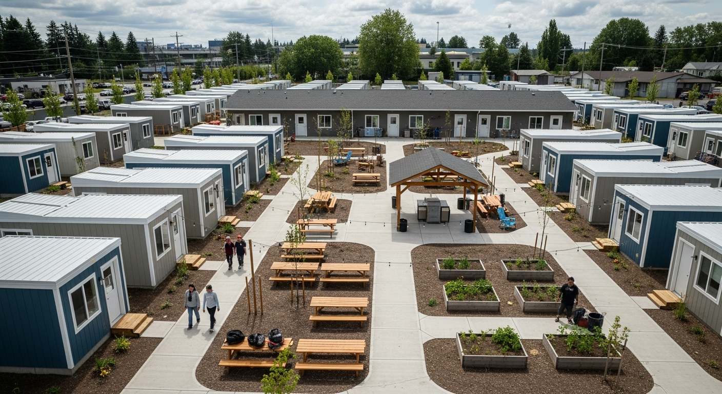
Everett Community College serves more than 17,000 students per year. It employs more than 800 faculty and staff across multiple locations throughout Snohomish County and online. Its main campus sits at 2000 Tower Street in the Northwest Everett neighborhood — inside the historic core of the city, near the neighborhood that defines Everett’s original identity as a civic and industrial place.
The college offers 39 fields of study, from transfer programs that send students to four-year universities to professional-technical certificates that place graduates directly into Snohomish County’s skilled trades economy. The Advanced Manufacturing Training and Education Center — AMTEC — opened in 2014 and expanded in 2015 to 54,000 square feet, serving six aerospace and advanced manufacturing programs. It’s one of the few community college facilities in the country built specifically to supply a regional aerospace employer — Boeing — with the kind of technically trained workforce a modern production line requires.
The EvCC campus guide covers the physical facilities in detail. What it can’t fully capture is what it’s like to run an institution at the center of everything Everett is trying to become.
The Role Running Start Plays — And the Pressure It’s Under
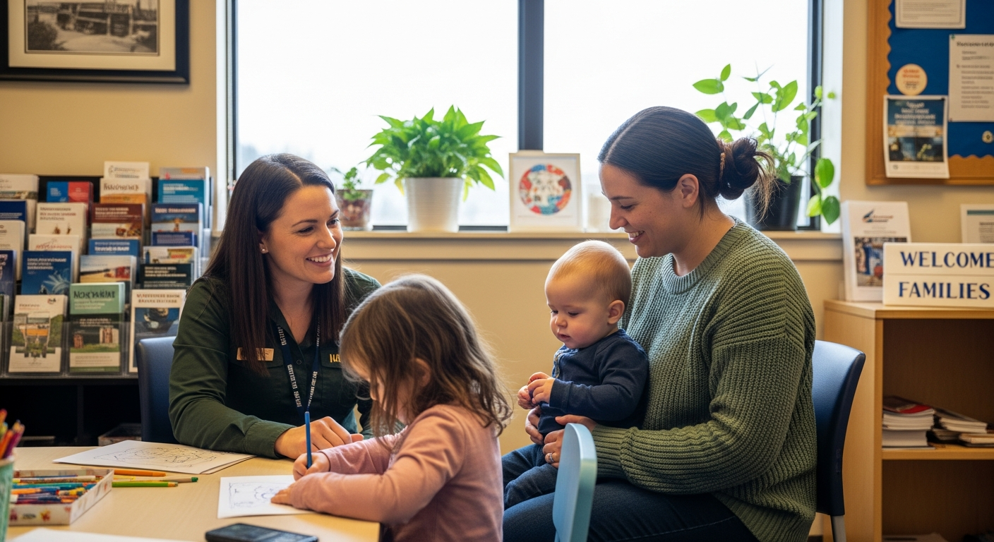
One of the programs Crawford is navigating carefully is Running Start — Washington State’s dual-credit system that allows high school students to take community college courses tuition-free, earning college credit while they’re still enrolled in high school. For Everett Public Schools families, Running Start at EvCC has long been a tangible way to reduce the cost and time of a college education.
State budget discussions in early 2026 raised questions about the long-term funding levels for dual-credit programs statewide. The Herald reported in March 2026 that budget pressures could reduce local dual-credit program access. For a president running a college whose students include a significant number of Running Start participants from Everett, Mukilteo, and surrounding districts, that conversation is not abstract — it’s a direct threat to one of the most cost-effective tools for economic mobility that families in this part of Washington have access to.
Crawford hasn’t commented publicly on the specifics of the legislative session outcomes — but the college’s investment in its institutional infrastructure, in its AMTEC workforce pipeline, and in its University Center (which allows students to complete bachelor’s degrees on the EvCC campus through partner universities) signals a president who is building depth, not depending on any single funding stream.
The University Center Model: Two Degrees, One Campus
About 45 percent of EvCC’s transfer students originally came to EvCC with a bachelor’s degree in mind — and many of them complete that degree without leaving the campus at 2000 Tower Street. The University Center brings partner institutions to the EvCC campus, allowing students to complete their final two years of a bachelor’s program locally. For South Everett and Casino Road families for whom commuting to Seattle or Bellingham represents a real barrier, that model is not a convenience — it’s the difference between a degree and not getting one.
That’s the kind of structural thinking Crawford appears to be focused on: reducing the friction between aspiration and achievement for people who are already working, already raising families, already embedded in Everett’s communities.
What It Means for the Neighborhoods
EvCC’s students don’t come primarily from families with four-year university plans and college savings accounts. They come from Northwest Everett, from the Casino Road corridor, from the neighborhoods of South Everett where community organizations like LETI are building digital access infrastructure because internet access and tech literacy remain real barriers to higher education. Crawford’s institution is the post-secondary stop for the students coming out of Everett’s K-12 system — the same system that just posted a 96.3% graduation rate.
When EPS sends more graduates across the stage, EvCC gets more enrollment applicants. When the college and career readiness tools that high school students use actually point them toward EvCC’s programs, the pipeline works. When that pipeline is disrupted — by budget cuts, by a lack of information about what’s available, or by the kind of friction that makes the process feel inaccessible — students who could have found their path don’t.
Crawford is managing that ecosystem. It’s the job her title implies and the actual work her leadership requires.
A Note on Verifying This Profile
Dr. Crawford’s role and background are confirmed via EvCC’s official administration page (everettcc.edu/administration/president) and through multiple HeraldNet reports covering her appointment and her college’s programming. Her compensation of $281,000 is a matter of public record, as reported by the Herald. This profile draws only on her public role as president of a public institution — her work for the community college system is the story, and it’s a public story.
Frequently Asked Questions
Who is the current president of Everett Community College?
Dr. Chemene Crawford has served as EvCC president since July 2023. She previously led North Seattle College and worked in the Dallas County Community College District in Texas.
How many students does EvCC serve?
Everett Community College serves more than 17,000 students per year across multiple Snohomish County locations and online programs, with more than 800 faculty and staff.
What is Running Start at EvCC?
Running Start is Washington State’s dual-credit program that allows high school students to take EvCC courses tuition-free, earning both high school and college credits simultaneously. It’s a key pathway for EPS and Mukilteo SD families looking to reduce the cost of higher education.
What workforce programs does EvCC offer?
EvCC’s Advanced Manufacturing Training and Education Center (AMTEC) is a 54,000-square-foot facility offering six aerospace and manufacturing programs. The college also offers professional-technical programs in healthcare, business, IT, and the trades — designed to place graduates directly into Snohomish County jobs.
Where is Everett Community College located?
The main campus is at 2000 Tower Street in Everett’s Northwest neighborhood. Additional locations and online programs serve students across Snohomish County.
What is the University Center at EvCC?
The University Center brings partner universities to the EvCC campus, allowing students to complete bachelor’s degrees locally without transferring to a four-year school. About 45 percent of EvCC’s transfer students began with a bachelor’s degree in mind.
How is EvCC handling state budget pressures on dual-credit programs?
State budget discussions in early 2026 raised concerns about dual-credit program funding. EvCC has not made public announcements specific to program cuts, but the college’s investment in workforce programs, AMTEC, and the University Center signals a strategy built on institutional depth rather than dependence on any single funding stream.