Q: If I am moving to Snohomish County in 2026, what is the surveillance posture from city to city — and does it matter which one I choose?
A: Within Snohomish County in mid-May 2026, three of the most relocation-relevant cities have different answers on Flock Safety ALPR cameras. Lynnwood terminated its contract on February 22, 2026, and is out. Everett restarted its 68-camera network on April 7, 2026, and is in. Snohomish City has paid for cameras but is holding them in storage until at least July 1, 2027. For most relocating buyers and renters, the practical effect on day-to-day life is small — but the policy posture is genuinely different city to city, and worth understanding before signing a lease or closing on a home.
The Question Most Relocating Buyers Aren’t Asking — But Should Know the Answer To
If you are moving to Snohomish County from out of state — Seattle to Everett, Texas to Lynnwood, anywhere to anywhere inside the I-5/SR 99/SR 9 box — you spend a lot of time researching schools, commute times, property taxes, and HOA rules. License-plate reader policy is almost never on that list. It does not need to dominate the list. But because three of the county’s most-relocation-relevant cities took three different paths on Flock Safety ALPR cameras inside a 90-day window in early 2026, the answer to “how does my new city handle this?” varies more than most new residents would assume.
This is the relocating buyer’s quick map. Not legal advice. Not a recommendation for or against any city. Just the facts on where each city stands in May 2026 so you can make an informed choice and not be surprised later.
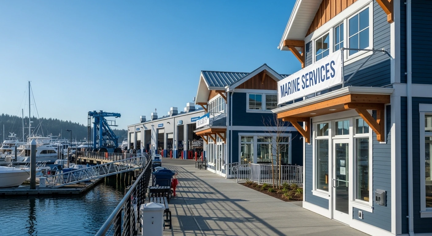
If You’re Moving to Everett
Everett operates a 68-camera Flock Safety ALPR network through the Everett Police Department. The network was paused in late February 2026 after a Public Records Act ruling and concerns about outside-agency data access. It was restored on April 7, 2026, eight days after Gov. Bob Ferguson signed SB 6002 (the Driver Privacy Act) into law.
What it means in day-to-day life: cameras at strategic intersections and entry corridors capture license plates as part of stolen-vehicle and case-clearance work. Under SB 6002, data is retained for no more than 21 days (down from a longer status quo). Data cannot be shared with federal immigration authorities for civil immigration enforcement. Cameras cannot be placed at sensitive sites such as schools, places of worship, courts, food banks, or reproductive healthcare facilities. The Everett policy will be formally aligned with the Washington Attorney General’s statewide model policy by December 1, 2027.
If Everett is your relocation target, the surveillance posture is “active and operating under SB 6002 guardrails.”
If You’re Moving to Lynnwood
Lynnwood terminated its Flock Safety contract by unanimous council vote on February 22, 2026. The decision was driven by two specific failures named at the meeting: the “nationwide lookup” feature was active for nine days before Lynnwood Police Chief Cole Langdon turned it off; in that window, out-of-state agencies conducted more than 100,000 searches of the Lynnwood network, including at least sixteen searches tied to immigration enforcement.
If Lynnwood is your relocation target, the surveillance posture is “out — the city has affirmatively rejected the program.” Lynnwood PD continues to operate other public-safety tools; the change is specifically the ALPR contract.
If You’re Moving to the City of Snohomish
The city of Snohomish — population roughly 10,000, east of the Snohomish River — purchased Flock ALPR cameras but has not deployed them. On May 13, 2026, the Snohomish City Council directed staff to keep the cameras in storage until the Washington Attorney General publishes the statewide ALPR model policy, which is due by July 1, 2027.
If the city of Snohomish is your relocation target, the surveillance posture is “paid for but not in use — on hold until at least mid-2027.” Council President Felix Neals named the AG model policy as the explicit trigger for revisiting.
What About the Cities Not Covered Here?
Mukilteo, Edmonds, Mill Creek, Marysville, Monroe, and Stanwood are each making their own decisions under the same SB 6002 framework. The pattern statewide is that the law has forced a re-decision in every jurisdiction that uses ALPR — and the answers are not converging on a single posture. Renton suspended its cameras in April 2026. Pierce County Sheriff Keith Swank shut down the entire county network. Other cities continued operations under SB 6002 guardrails. Anyone moving into a Snohomish County city not named in this guide should check the relevant city council’s recent meeting agendas for ALPR action.
Does Any of This Affect Property Values or Insurance?
Short answer: there is no published evidence that ALPR posture is a material factor in residential property valuations in Snohomish County in May 2026. ALPR is one of many public-safety tools and is not weighted heavily in standard real estate appraisals or homeowner insurance ratings. It is a policy choice that affects how the city does case-clearance work — not a feature that should drive a buy/lease decision on its own.
What to Read Next Before You Sign
Anyone relocating into Everett — or considering it — should also read our two existing relocation guides on housing posture and neighborhood selection. The license-plate reader question is one of many. Housing affordability, school district boundaries, transit access, and neighborhood character are usually the determinative factors.
Related Exploring Everett Coverage
- Everett’s Three Housing Markets: A Complete Mid-2026 Guide to the Citywide, Downtown, NW Everett, and 98208 Story
- Relocating to Harborview-Seahurst-Glenhaven: A 2026 New Resident’s Guide
- Everett’s Flock Camera Network and Washington’s Driver Privacy Act: The Complete 2026 Guide
Frequently Asked Questions
Are Flock cameras operating in Everett right now in May 2026?
Yes. The Everett Police Department’s 68-camera Flock ALPR network was restored on April 7, 2026, after a six-week pause. It operates under the new statewide guardrails in SB 6002, signed by Gov. Bob Ferguson on March 30, 2026.
Are Flock cameras operating in Lynnwood right now?
No. The Lynnwood City Council voted unanimously to terminate the city’s contract with Flock Safety on February 22, 2026.
Is the city of Snohomish using Flock cameras?
No. As of May 13, 2026, the Snohomish City Council has directed staff to keep already-purchased Flock cameras in storage until the Washington Attorney General publishes the statewide ALPR model policy, due by July 1, 2027.
Does ALPR data get shared with ICE under Washington’s new law?
No. SB 6002 prohibits Washington agencies from sharing ALPR data with federal immigration authorities for civil immigration enforcement. This is one of the law’s core provisions, signed into effect on March 30, 2026.
How long is ALPR data kept under Washington’s new law?
SB 6002 caps ALPR data retention at 21 days, with limited exceptions. That is tighter than the prior 30-day status quo and significantly tighter than the open-ended retention some agencies had been operating under.
Should ALPR policy affect where I choose to live in Snohomish County?
For most relocating buyers and renters, no. ALPR posture is a policy choice that affects how a city does case-clearance and stolen-vehicle work — it does not drive property values or insurance ratings in any documented way. Housing affordability, school boundaries, transit access, and neighborhood fit are typically the determinative factors. ALPR posture is worth understanding, not weighting heavily.