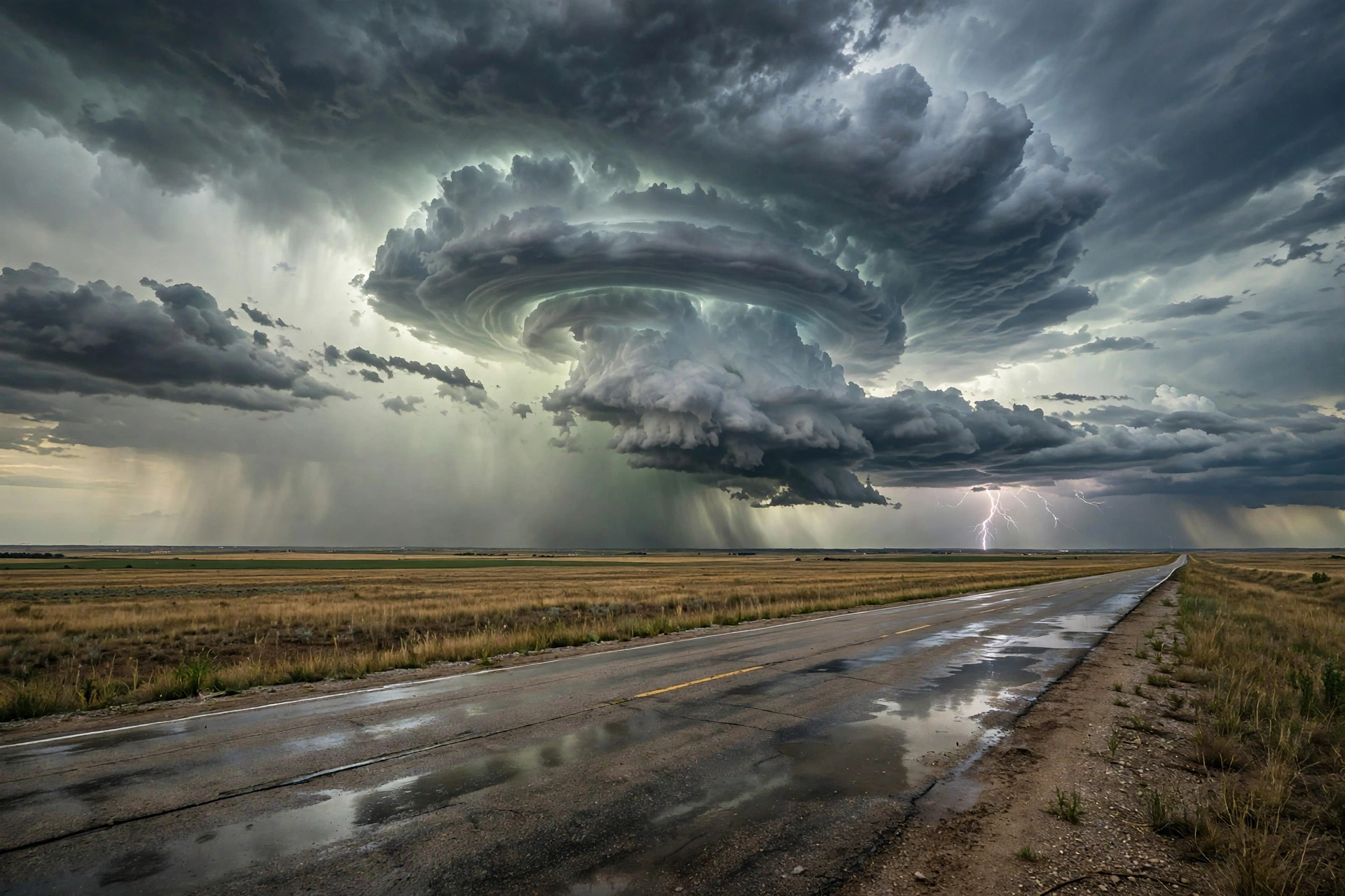
Tropical: None · Severe: Slight · Flood: Slight
What Changed
- Compared with the November 1 afternoon desk pulse table (quiet-pulse-2026-11-01-afternoon: Tropical: None · Severe: Slight · Flood: Moderate): SPC Day 1 has evolved. Earlier cycles on November 2 carried an Enhanced Risk across north-central Oklahoma and south-central Kansas. The latest 0100 UTC November 3 outlook (issued 0700 PM CST November 2, valid 030100Z–031200Z) holds a Slight Risk of severe thunderstorms across parts of the southern and central Plains.
- A line of strong to severe storms is ongoing from far southern Kansas into southwest Oklahoma, with QLCS-type tornado potential maximized in embedded rotating elements and damaging winds, including possible gusts above 70 mph with bowing segments. Tornado Watch 701 remains in effect for portions of central and southern Kansas, western and central Oklahoma, and northwest Texas.
- WPC Day 1 Excessive Rainfall Outlook (updated 0100 UTC November 3) maintains a Slight Risk for portions of central and southern Florida, focused along the east coast. The prior Moderate Risk over the Four Corners / Southwest has been removed; Plains flash-flood risk was lowered as storm mode is progressive.
- No named tropical cyclones. NHC reports no tropical cyclones in the Atlantic, Caribbean, or Gulf of America. A western Atlantic disturbance has a near-zero percent chance of development in 48 hours and 30 percent over 7 days, well offshore, with no U.S. land threat or watches/warnings.
- Active Tornado Watches and Severe Thunderstorm Warnings live in the Plains corridor. Flash Flood Warnings active in parts of Florida. High Wind Warnings remain in effect for portions of South Dakota and New Mexico.
Live Status
As of the morning desk on Monday, November 2, 2026 (updated late evening PST / early November 3 UTC), the national picture centers on the southern and central Plains. The Storm Prediction Center’s latest Day 1 Convective Outlook (0100 UTC November 3 cycle) states: “THERE IS A SLIGHT RISK OF SEVERE THUNDERSTORMS ACROSS PARTS OF THE SOUTHERN AND CENTRAL PLAINS.” Severe thunderstorms with damaging wind gusts, hail, and a few tornadoes are expected this evening into tonight. Severe storms will also affect western Missouri and northwest Arkansas overnight.
On water vapor imagery, an upper-level trough is evident in the southern High Plains with cyclonically curved southwest flow in place over the southern and central Plains. A 60 to 80 knot mid-level jet is analyzed from southern New Mexico extending northeastward into western Oklahoma. A line of strong to severe storms is ongoing to the east of the mid-level jet from far southern Kansas into southwest Oklahoma. Ahead of this line, surface dewpoints are mostly in the lower to mid 60s F with MLCAPE in the 1000 to 1500 J/kg range. Strong deep-layer shear of 65 to 70 knots at Oklahoma City supports continued severe potential as the line segment organizes and moves eastward.
So far across Oklahoma, the dominant storm mode has been linear, and discrete supercell development has failed to materialize. Within the ongoing line, tornado potential is maximized with embedded rotating elements. A few QLCS-type tornadoes still appear possible as this line moves eastward across central/northern Oklahoma and southeast Kansas this evening. A wind-damage threat accompanies the line. Further south into southwest Oklahoma and northwest Texas, cells have been more discrete, with a couple of supercells ongoing near the Red River. Severe wind gusts, hail and potentially a few tornadoes remain possible. In west-central and north-central Texas, a band of strong thunderstorms is developing near a surface trough with MLCAPE 2000 to 2500 J/kg; primary threats are severe wind gusts and hail.
Tornado Watches remain active covering portions of Kansas, Oklahoma, and Texas. Mesoscale discussions note the ongoing line with potential for embedded intensification. Severe Thunderstorm Warnings have been issued, including for Montague County in north central Texas. Overnight local storm reports are expected as the system progresses eastward into Missouri and Arkansas.
Flood risk has moderated. WPC maintains a Slight Risk of excessive rainfall for portions of central and southern Florida, with the main focus along the east coast. Overall coverage and magnitude of heavy rainfall should be lower overnight, though low-level easterly flow and instability continue to support localized extreme rainfall potential on saturated soils. Localized flash flooding is possible overnight from portions of Texas into Iowa, but primarily rate-driven and urban as the convective line is progressive. Flash Flood Warnings remain active in parts of Florida (including Brevard, Indian River, and Broward Counties) and residual in Arizona from earlier activity. High Wind Warnings continue across portions of the South Dakota foothills and southern New Mexico mountains through early Tuesday.
Pulse Table
| Lane | Status | Notes (as of late evening PST / early Nov 3 UTC 2026) |
|---|---|---|
| Tropical | None | No tropical cyclones in the Atlantic, Caribbean, or Gulf. NHC: near 0% / 30% formation chance for western Atlantic disturbance over 48h / 7 days; no U.S. coastal or Gulf watches or warnings. |
| Severe | Slight | SPC Day 1 (0100Z Nov 3): SLIGHT RISK southern and central Plains (~134k sq mi). Earlier Enhanced closed. Tornado Watches active KS/OK/TX. Damaging winds, hail, few QLCS tornadoes possible into tonight. Active warnings. |
| Flood | Slight | WPC Day 1 Slight residual central/southern FL east coast. Prior Four Corners Moderate removed. Isolated progressive rain risk TX-IA. Active Flash Flood Warnings FL residual AZ. High Wind Warnings SD/NM. |
Rising Queries
Trends unreachable.
Restoration Read
Dominant ticket is severe weather damage across the southern and central Plains under the Slight Risk, with potential for tornadoes (QLCS type), damaging winds to 70+ mph, and hail as the line progresses overnight into Missouri and Arkansas. Secondary is residual flash flooding in Florida and high wind impacts in South Dakota and New Mexico. No widespread catastrophic flooding expected. No named storm hub. Informational only — not an official warning. Follow local NWS offices and official products.
Informational only — not an official weather warning. Sources: SPC Day 1 Outlook, NWS watches/warnings, WPC Excessive Rainfall Outlook, NHC.
Get The Signal
What we actually ran, what it measured, and what it means for a restoration shop — every week, including the flops.
Leave a Reply