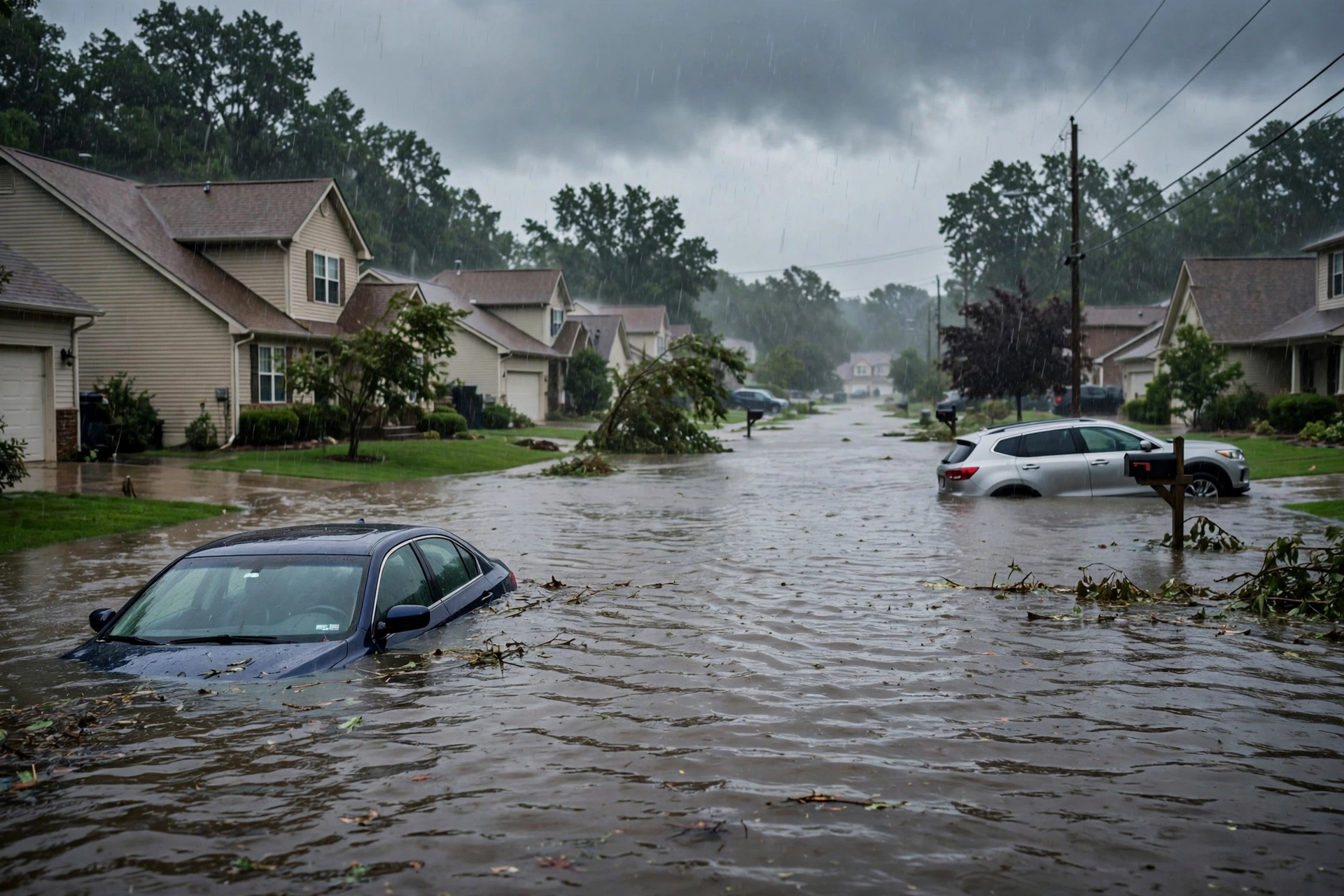
Tropical: None · Severe: None · Flood: Slight
What Changed
- Compared with the previous afternoon desk pulse table (quiet-pulse-2026-10-30-afternoon: Tropical: None · Severe: Marginal · Flood: Slight): SPC Day 1 Convective Outlook (0100 UTC November 1, 2026 update, issued 0752 PM CDT October 31, valid 010100Z–011200Z) continues NO SEVERE THUNDERSTORM AREAS FORECAST. The prior Marginal Risk over southern and central Arizona remains closed. No convective watches currently valid.
- WPC Day 1 Excessive Rainfall Outlook (updated 0003 UTC November 1, valid 01 UTC Nov 01 – 12 UTC Nov 01) holds a Slight Risk of excessive rainfall for portions of central Arizona, expanded slightly to the international border based on observational trends. Surrounding Marginal areas trimmed in places.
- Tropical lane remains None. National Hurricane Center Tropical Weather Outlook (800 PM EDT October 31) states tropical cyclone formation is not expected during the next 7 days for the North Atlantic, Caribbean Sea, and Gulf of America. No tropical storm or hurricane watch or warning on the U.S. coast or Gulf.
- Residual Flood Warnings continue in Maricopa and Gila Counties, Arizona, from prior rainfall on saturated soils. Coastal Flood Warnings remain for the Florida Keys and eastern Putnam County. Flash Flood Warnings active in parts of southern Mississippi. Winter Storm Warnings in portions of Alaska, Colorado, and Nevada. No upgrade to Moderate or higher on the current Day 1 ERO.
- Nothing moved to SPC Slight or above, WPC Moderate or above, or opened a U.S. tropical watch/warning. Quiet Pulse criteria hold. Dominant residual ticket remains the Slight excessive rainfall risk and localized flash flooding in central Arizona.
Live Status
As of the morning desk on Saturday, October 31, 2026 (approximately 8:13 PM PDT / 03:13 UTC November 1), the national picture is a Quiet Pulse. The Storm Prediction Center’s latest Day 1 Convective Outlook (0100 UTC November 1 update) confirms no severe threat is forecast across the U.S. through tonight. Isolated thunderstorms remain possible this evening in parts of the lower to mid Mississippi Valley, over the southern half of Florida, in southeast Arizona, and across parts of the Intermountain West, but no severe threat is expected over the continental U.S.
The Weather Prediction Center Day 1 Excessive Rainfall Outlook maintains a Slight Risk focused on portions of central Arizona, where antecedent saturation from recent rains and an ongoing atmospheric river setup elevate flash-flood potential. Adjustments expanded the Slight Risk across southern Arizona to the international border. Surrounding Marginal Risk areas were pared in northern/western Nevada, interior California, and eastern Florida. No Moderate or higher risk is indicated on the current Day 1 product.
National Weather Service products show residual Flood Warnings in effect for Maricopa County (including Indian Bend Wash and Salt River impacts) and Gila County in Arizona. Coastal Flood Warnings remain for the Upper and Middle Florida Keys and eastern Putnam County. A Flash Flood Warning remains in effect for portions of Pearl River County, Mississippi. Winter Storm Warnings continue for higher elevations in Colorado, Alaska, and Nevada. No convective watches are currently valid.
Pulse Table
| Lane | Status | Notes (as of ~03:13 UTC Nov 1 2026 / ~8:13 PM PDT Oct 31) |
|---|---|---|
| Tropical | None | No tropical cyclones in the Atlantic, Caribbean, or Gulf. NHC: formation not expected next 7 days. No U.S. coastal or Gulf watches or warnings. |
| Severe | None | SPC Day 1: NO SEVERE THUNDERSTORM AREAS FORECAST. Prior Arizona Marginal closed. Isolated non-severe storms possible in SW and Gulf Coast regions. No watches. |
| Flood | Slight | WPC Day 1 ERO Slight Risk central Arizona. Residual Flood Warnings AZ (Maricopa, Gila). Coastal Flood Warnings FL Keys/Putnam. Flash Flood Warning MS. No Moderate or higher on Day 1. |
Rising Queries
Trends unreachable.
Restoration Read
Primary residual ticket is localized flash flooding and runoff impacts across central Arizona on already saturated soils under the Slight ERO, plus ongoing river and wash flooding in Maricopa and Gila Counties. Secondary residual is coastal flooding in portions of Florida and isolated flash flooding in southern Mississippi. No widespread organized severe damage expected. Monitor low-water crossings, urban drainage, and burn scars. Turn around, don’t drown.
What This Is Not
This is a Quiet Pulse. No SPC Slight or higher severe risk on the latest Day 1 outlook. No WPC Moderate or higher excessive rainfall on Day 1. No tropical storm or hurricane watch or warning on the U.S. coast or Gulf. This desk summarizes public products from the SPC, WPC, NWS, and NHC. Informational only — not an official warning.
Looking Ahead
Day 2 SPC holds a Marginal Risk of severe thunderstorms. WPC Day 2 indicates elevated excessive rainfall risks for portions of the Southwest. Monitor for potential escalation overnight into Sunday. No named tropical systems active.
Informational only — not an official warning. Always check weather.gov for local forecasts and warnings. Turn around, don’t drown.
Get The Signal
What we actually ran, what it measured, and what it means for a restoration shop — every week, including the flops.
Leave a Reply