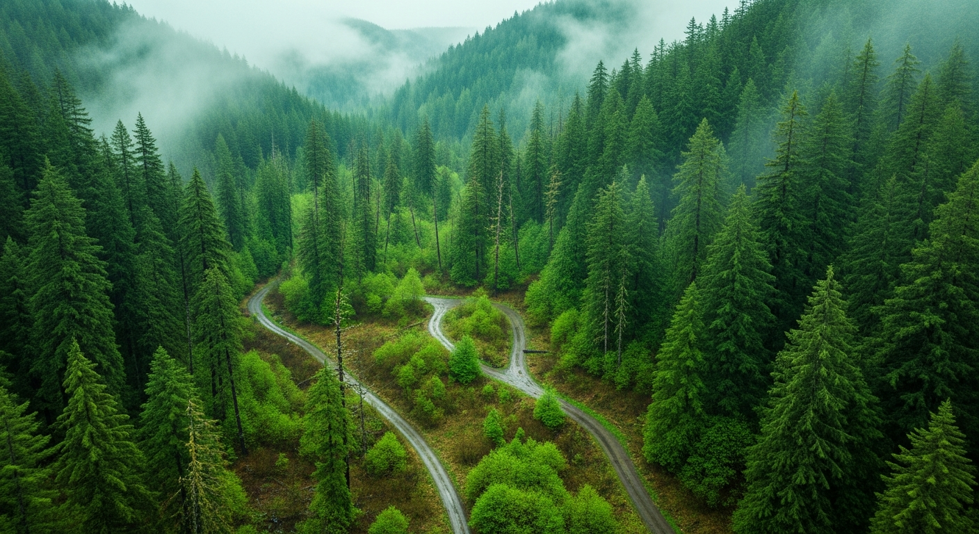
Tahuya State Forest sits 3.5 miles west of Belfair on SR-300, and on any given spring weekend you’ll find North Mason families loading ATVs, mountain bikes, and hiking boots at the Elfendahl Pass Staging Area. It’s one of the most-used backyards this community has — 23,000 acres of DNR-managed working forest with a multi-use trail system that draws riders, hikers, and families from across Mason and Kitsap counties.
The 2026 season opened April 15 and runs through October 31. Most of the trail network is accessible. But several sections are currently closed, and knowing which ones before you drive out could save a frustrating Saturday.
The Howell Lake Bridge Is Out
The biggest single closure this spring is the Howell Lake Loop Trail, which is shut down due to a washed-out bridge. DNR has not announced a repair timeline. The lake and day-use area themselves remain accessible for non-motorized use year-round — if you’re heading out for fishing, a picnic, or a family swim day, you can still get to Howell Lake. But the loop trail that circuits the lake is impassable until bridge repairs are completed. Before planning around it specifically, a call to the DNR South Puget Sound Region office at (360) 825-1631 is worth the two minutes.
Three Timber Sales Are Affecting Multiple Trails
Active logging operations across three DNR timber sales — known as Trail Mix, Little Wrangler, and School — are causing temporary closures and access disruptions across a section of the trail network. Trails currently affected include Randy’s H2O Stop, Mission Creek, the 1.9 Mile trail, Hoof & Tail, and the Tahuya River Trail.
This is normal for Tahuya. DNR manages these 23,000 acres as working forest to generate trust land revenue for Washington public schools, and timber sales rotate through different sections over time. What that means practically: the closure footprint shifts week to week as operations move. A trail blocked this weekend may be clear in a few weeks, and new sections can become active as well. Check before you go, every time.
What’s Open and Accessible: Elfendahl Pass
Despite the active closures, the majority of Tahuya’s trail system remains open this spring. The Elfendahl Pass Staging Area — the main trailhead hub for the forest — is open for the 2026 season with space for approximately 50 vehicles, including trailer pull-through capacity for rigs hauling ATVs or trailers.
Getting there from Belfair: take SR-300 west 3.5 miles → right on Belfair-Tahuya Road for 1.9 miles → right on Elfendahl Pass Road for 2.3 miles. The staging area is the entry point for the bulk of the open trail network.
The Tahuya trail system is multi-use, meaning you’ll find both motorized (ATVs, dirt bikes, 4×4) and non-motorized (mountain bikes, hikers) users sharing the system on different designated routes. Know your designated zone before you ride or hike — the March 2025 DNR trail map at dnr.wa.gov/GreenMountainTahuya breaks this out clearly.
How to Check Before You Go
Trail conditions in Tahuya can shift quickly as logging operations relocate and spring weather affects access. The best practice is to verify current status every time:
- Official DNR page: dnr.wa.gov/GreenMountainTahuya — current closure alerts, trail map updates, and campground information
- Phone: (360) 825-1631 — DNR South Puget Sound Region office (often more current than the website for active timber operations)
The Bigger Picture: Tahuya as Working Forest
The closures and disruptions are worth understanding in context. Tahuya State Forest is not a dedicated recreation preserve — it’s a working forest where timber production and recreation coexist. DNR manages it specifically to generate revenue for Washington’s K-12 school trust lands, which means active logging is part of how the forest is supposed to function. Temporary trail closures are a predictable feature of that model, not an anomaly.
For the North Mason community, that also means the forest’s recreational value is protected long-term by the same management structure that makes parts of it temporarily inaccessible. The trail network exists because DNR sees recreational access as compatible with its working forest mission.
For a broader look at environmental stewardship in the Tahuya watershed, see the Belfair Bugle’s coverage of the Tahuya River Preserve’s 190-acre expansion and salmon restoration work. And if you’re planning a full day out that includes Hood Canal, our Hood Canal summer 2026 planning guide has the verified information for crab, shellfish, and camping.
Frequently Asked Questions: Tahuya State Forest Spring 2026
Can I still access Howell Lake if the loop trail is closed?
Yes. Howell Lake and its day-use area remain accessible for non-motorized recreation year-round. The closure applies specifically to the Howell Lake Loop Trail due to a washed-out bridge. The lake itself, fishing access, and the picnic area are open. Contact DNR at (360) 825-1631 for current access details.
What is the 2026 season for Tahuya State Forest?
DNR gates at Tahuya are open from April 15 through October 31, 2026. Some areas including Howell Lake are accessible year-round for non-motorized use regardless of the gate season. Motorized access generally follows the gated season.
Where do I park for Tahuya State Forest trails?
The main staging area is Elfendahl Pass, which handles approximately 50 vehicles with trailer pull-through capacity. From Belfair: SR-300 west 3.5 miles → right on Belfair-Tahuya Road 1.9 miles → right on Elfendahl Pass Road 2.3 miles. A second staging area is located at Mission Creek.
Are the timber sale trail closures at Tahuya permanent?
No. Active timber sale closures are temporary — they shift as logging operations move through different sections of the forest. A trail closed today may reopen in a few weeks. Check dnr.wa.gov/GreenMountainTahuya for current closure status before any trip.
Is Tahuya State Forest open to both motorized and non-motorized users?
Yes. The trail system is multi-use, with designated routes for motorized users (ATVs, dirt bikes, 4×4) and non-motorized users (hikers, mountain bikers). The DNR trail map shows the designated zones for each user type.
Leave a Reply