Conseguir las entradas fue el primer paso. Entrar a Estados Unidos es el segundo — y para millones de aficionados internacionales que planean asistir al Mundial FIFA 2026, los requisitos de visa son la pregunta más urgente y menos explicada. Esta guía desglosa qué necesita cada país, cómo funciona el FIFA PASS, qué países enfrentan restricciones especiales y cómo tramitar todo antes de que los plazos te tomen por sorpresa.
¿Necesitas visa para entrar a Estados Unidos al Mundial?
Depende de tu país. Hay tres categorías principales:
Categoría 1: Programa de Exención de Visa (VWP / ESTA)
Los ciudadanos de 42 países pueden ingresar a EE. UU. sin visa mediante el Sistema Electrónico de Autorización de Viaje (ESTA). Incluyen: Alemania, Australia, Austria, Bélgica, Chile, Corea del Sur, España, Francia, Irlanda, Italia, Japón, Nueva Zelanda, Países Bajos, Portugal, Reino Unido, Suiza y otros.
Si tu país está en el VWP, necesitas solicitar ESTA en línea en travel.state.gov antes de viajar. El costo es de 21 dólares. La aprobación generalmente llega en 72 horas o menos, pero se recomienda solicitarla con al menos dos semanas de anticipación. El ESTA es válido por dos años o hasta que expire tu pasaporte.
Importante: ESTA no es una visa. Si has viajado a Irán, Iraq, Libia, Corea del Norte, Somalia, Sudán, Siria o Yemen después de marzo de 2011, puede que no seas elegible para ESTA y necesites una visa B1/B2 regular incluso si tu país está en el VWP.
Categoría 2: Visa B1/B2 con FIFA PASS
Los ciudadanos de países no incluidos en el VWP — incluyendo México, Brasil, Argentina, Colombia, Ecuador, Egipto, Arabia Saudita, Marruecos, Turquía, Bosnia y Herzegovina, y muchos otros países clasificados para el Mundial — necesitan una visa de turista B1/B2.
El proceso estándar de visa B1/B2 puede tardar semanas o meses en función del país y la embajada. El FIFA PASS acelera esto:
- Obtén tu entrada oficial del Mundial FIFA 2026 (el número de referencia de la entrada es necesario)
- Regístrate en el sistema FIFA PASS a través del portal del Departamento de Estado de EE. UU.
- Recibirás acceso a citas de entrevista de visa prioritarias en la embajada o consulado estadounidense más cercano
- Completa el Formulario DS-160 (solicitud de visa en línea) antes de tu cita
- Paga la tarifa de solicitud de visa (actualmente 185 dólares para B1/B2)
- Asiste a tu entrevista en el consulado con todos los documentos requeridos
El FIFA PASS no garantiza la aprobación de la visa. Simplemente prioriza tu cita. La decisión final la toma el oficial consular basándose en tu solicitud individual.
Categoría 3: Países con Restricciones Especiales
Algunos países clasificados para el Mundial enfrentan restricciones de viaje adicionales que complican o impiden el acceso a EE. UU.:
Irán: Irán está en la lista de suspensión de visas de EE. UU. Los nacionales iraníes (con pasaporte iraní) no son elegibles para visas de turista B1/B2 en circunstancias normales. Los jugadores de la selección iraní están exentos bajo disposiciones especiales. Los aficionados con pasaporte iraní que ya tienen visa válida para EE. UU. pueden ingresar; quienes no la tienen enfrentan obstáculos significativos. Los iraní-americanos y ciudadanos iraníes con doble nacionalidad deben consultar con un abogado de inmigración sobre su situación específica.
Programa de Fianza de Visa (2026): A partir de abril de 2026, ciertos países son objeto del Programa de Fianza de Visa de B1/B2, que requiere que los solicitantes demuestren vínculos financieros con su país de origen como condición para la aprobación de la visa. Los países afectados incluyen algunos de los clasificados para el Mundial. Consulta travel.state.gov para la lista actualizada.
Haití: Haití clasificó para el Mundial pero enfrenta restricciones de visa severas. Los nacionales haitianos deben buscar asesoría legal de inmigración antes de solicitar.
Cronograma: Cuándo Tramitar tu Visa
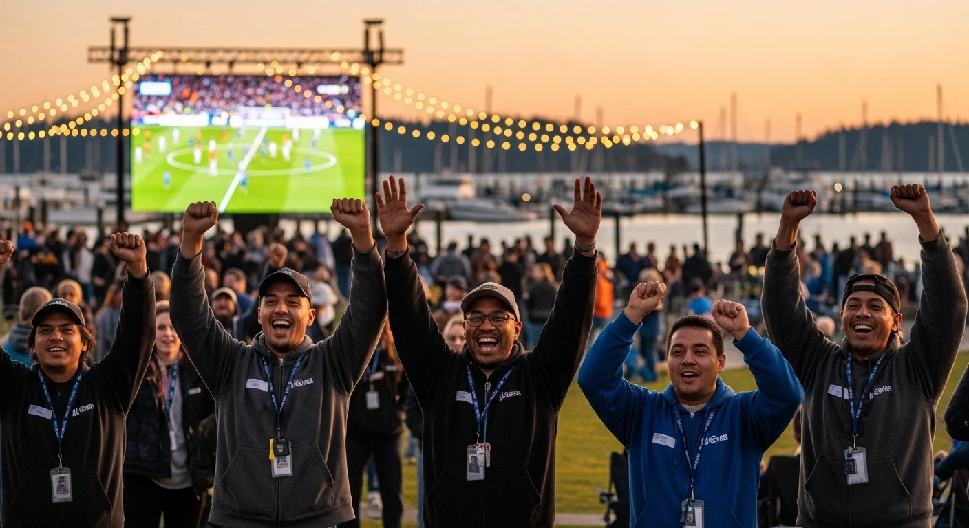
Los partidos del Mundial FIFA 2026 en Seattle (Lumen Field) se juegan entre el 15 de junio y el 6 de julio de 2026. Los plazos para solicitar visa son:
- ESTA: Puede solicitarse en cualquier momento antes de viajar. Recomendado: mínimo 2 semanas antes.
- B1/B2 con FIFA PASS: Solicita el FIFA PASS tan pronto como tengas tu entrada confirmada. Las citas de entrevista ya están limitadas para los partidos de junio-julio 2026. No esperes.
- B1/B2 sin FIFA PASS: El tiempo de procesamiento varía enormemente por país. En algunos países, el tiempo de espera para citas es de 3 a 12 meses. Si no has solicitado aún, es posible que sea demasiado tarde para algunos partidos. Verifica los tiempos de espera en travel.state.gov/content/travel/en/us-visas/visa-information-resources/wait-times.html
Cruzar la Frontera Canada-EE. UU. durante el Mundial
Vancouver, Colombia Británica (Canadá) también es sede del Mundial FIFA 2026. Muchos aficionados planean asistir a partidos en ambas ciudades. Esto requiere cruzar la frontera internacional, lo que implica documentos adicionales:
- Para entrar a Canadá: Los ciudadanos de la mayoría de los países necesitan una Autorización de Viaje Electrónica (eTA) canadiense o una visa de visitante. La eTA cuesta 7 dólares canadienses y generalmente se aprueba en minutos. Es diferente del ESTA de EE. UU. y debe solicitarse por separado.
- Para volver a EE. UU.: Necesitas los mismos documentos que usaste para ingresar la primera vez (ESTA o visa B1/B2 válida). Los cruces fronterizos por tierra en I-5 y I-15 pueden tener esperas largas en días de partido.
- Tarjeta NEXUS: Para quienes planean cruces fronterizos frecuentes, la tarjeta NEXUS acelera el proceso en puestos fronterizos designados.
Documentos que Debes Llevar a los Partidos
Además de tu visa o ESTA aprobada, ten estos documentos disponibles:
- Pasaporte válido (debe tener validez de al menos 6 meses después de tu fecha de salida de EE. UU.)
- Entrada del Mundial FIFA 2026 (impresa o en la app oficial de FIFA)
- Comprobante de alojamiento (reserva de hotel, Airbnb, etc.)
- Comprobante de fondos suficientes para tu estadía
- Boleto de regreso o prueba de salida de EE. UU.
Recursos Oficiales
- ESTA: esta.cbp.dhs.gov
- Formulario DS-160 (solicitud de visa B1/B2): ceac.state.gov
- Tiempos de espera de visa por país: travel.state.gov/content/travel/en/us-visas/visa-information-resources/wait-times.html
- Información oficial del FIFA PASS: fifa.com/en/tournament/world-cup-2026
- eTA canadiense: canada.ca/en/immigration-refugees-citizenship/services/visit-canada/eta.html
Preguntas frecuentes sobre visa para el Mundial FIFA 2026
¿Qué es el FIFA PASS?
El FIFA PASS es un sistema de citas prioritarias de visa respaldado por el Departamento de Estado de EE. UU. que permite a los poseedores de entradas del Mundial FIFA 2026 obtener citas de entrevista de visa B1/B2 aceleradas. No garantiza la aprobación de la visa.
¿Necesito visa si soy de México para el Mundial FIFA 2026?
Sí. México no está en el Programa de Exención de Visa de EE. UU. Los ciudadanos mexicanos necesitan una visa B1/B2 para ingresar a EE. UU. Se recomienda encarecidamente solicitar el FIFA PASS tan pronto como tengas tu entrada confirmada.
¿Necesita visa un ciudadano argentino para el Mundial FIFA 2026 en EE. UU.?
Sí. Argentina no está en el VWP. Los ciudadanos argentinos necesitan visa B1/B2 o deben solicitar el FIFA PASS para obtener una cita de entrevista prioritaria.
¿Los aficionados de Bélgica necesitan visa para el Mundial en Seattle?
No. Bélgica está en el Programa de Exención de Visa. Los ciudadanos belgas solo necesitan ESTA, que se solicita en línea antes de viajar.
¿Qué pasa si mi visa B1/B2 es rechazada?
El rechazo de visa no es definitivo. Puedes volver a solicitarla con documentación adicional que demuestre lazos con tu país de origen. Un abogado de inmigración puede ayudarte con la nueva solicitud. Las entradas del Mundial generalmente son reembolsables si no puedes asistir por motivos de visa.