May is the most underrated month to visit Sequim. The festival energy of the Irrigation Festival is still fading from the air, the summer bus tours haven’t started rolling in yet, and two of the finest experiences on the North Olympic Peninsula are sitting wide open — practically waiting for you. If you’ve only seen Sequim in peak July, purple and packed, you’re missing the quieter, more personal version of this place. This week, there are two spots that are not only excellent but genuinely time-sensitive: one closes in less than thirty days, and the other is at its most peaceful right now, before the crowds of lavender season arrive. Here’s where to point the car.
Sequim Bay State Park: Your Window Closes June 5
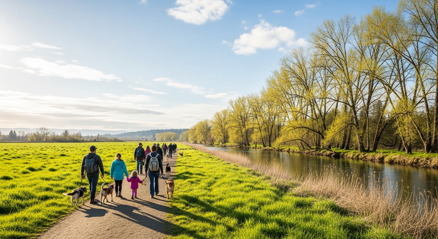
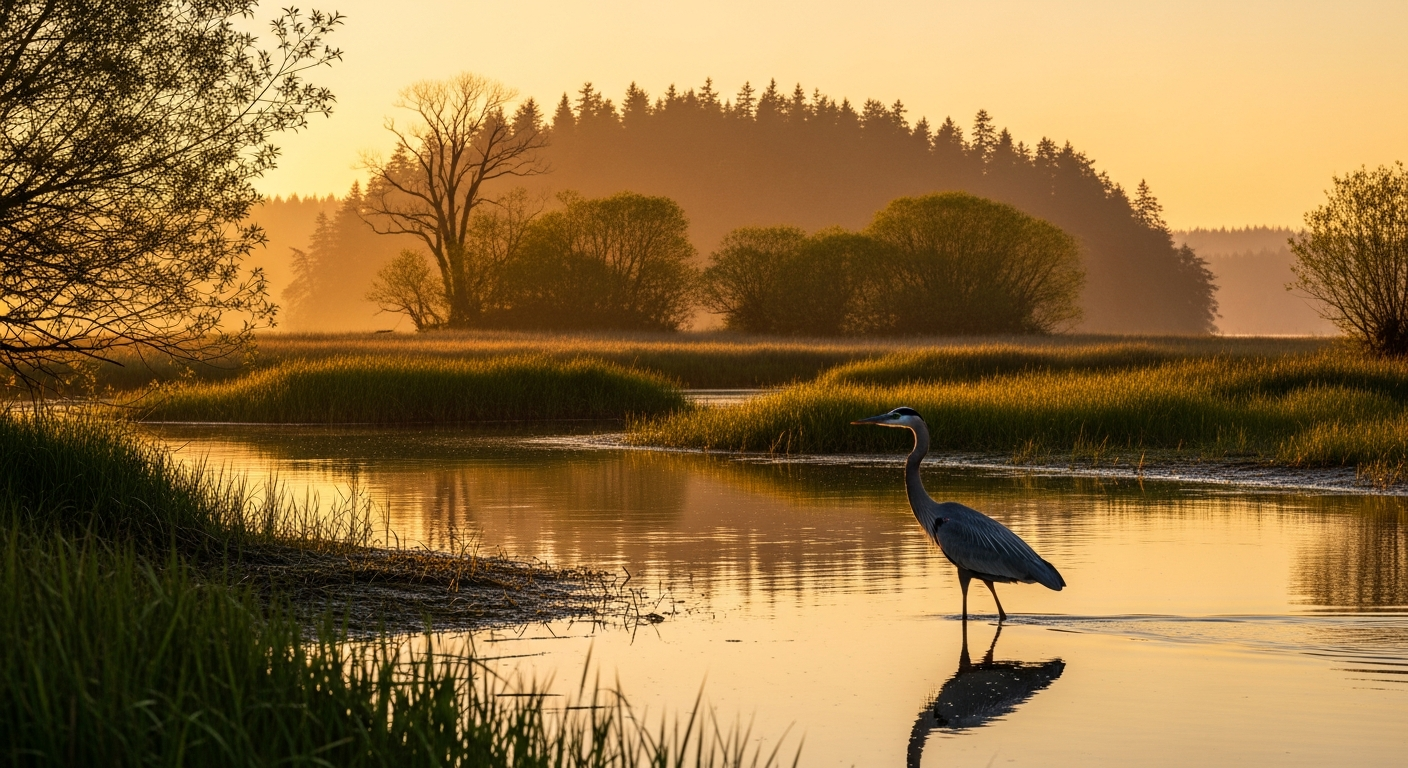
Sequim Bay State Park sits about four miles east of downtown Sequim on Highway 101, tucked inside the protected curve of the bay where the Olympic rain shadow keeps skies clearer than anywhere else on the peninsula. The park offers nearly four miles of marine shoreline, and in May that shoreline is alive — crabbers out in the coves, low tides pulling back to reveal the clam flats, and the snow-capped ridgeline of the Olympics reflected in still morning water.
The campground has ninety sites including full-utility hookups, and RV rigs up to forty feet are welcome. Reservations are available through Washington State Parks at parks.wa.gov, and shoulder-season availability is dramatically better than anything you’ll find in July or August. The boat launch is fully operational with a fifteen-minute loading limit — the old moorage dock was permanently closed due to structural deterioration, so plan accordingly if you’re bringing a vessel — but for kayakers and small motorboats, this is a genuine gem of a launch with calm protected water inside the bay.
Here’s the urgency: the park closes on June 5th, 2026, and doesn’t reopen until September 15th. Washington State Parks is constructing a new park entrance, and the entire park will be shut down for that work through the height of summer. That means right now — these next few weeks in May — is it. There is no July visit to Sequim Bay State Park this year. If you want the campfire on the water, the morning crab pull, the sunset over the bay with the Olympics behind it, May is your only shot in 2026.
Purple Haze Lavender Farm: The Field Before the Flowers
Most people discover Sequim’s lavender farms in July, when the rows are purple-blue from road to horizon and the parking areas are full by nine in the morning. That version of the experience is real and genuinely beautiful — but there’s another version happening right now at Purple Haze Lavender Farm on Bell Bottom Road, and it’s worth knowing about.
The lavender plants at Purple Haze are in what the farm calls their spring wake-up phase through May — the rows are filling back in with green growth, the fragrance is already present in the air, and the bees are working. Blooms don’t peak until late June and carry through July, so a May visit gives you the working farm experience without the summer crowds. The gift shop is fully stocked year-round with the farm’s lavender essential oils, culinary lavender, sachets, soaps, and honey — all produced on site. It’s a genuine working operation, not a tourist facsimile of one.
The farm is open this Thursday from 11:00 A.M. to 5:00 P.M., with the same hours on Fridays and Saturdays, Sundays from noon to 4:00 P.M., and Wednesdays from noon to 5:00 P.M. One firm rule: no drone cameras on the property. The farm’s honeybee population is central to everything they grow and produce, and the farm enforces this seriously. Respect it — the bees are why the lavender is there at all.
For locals or anyone who wants product without making the drive, Purple Haze ships orders on Wednesdays and Saturdays through their online store at purplehazelavender.com, and they offer local pickup by appointment. Call 360-809-9615 to arrange.
Plan Your Visit
Both stops pair naturally into a single Sequim day trip. Start at Sequim Bay State Park in the morning — arrive before 10:00 A.M. if you want the best low-tide window for clamming, and check the tide tables at wdfw.wa.gov before you go. The park is at 269035 Highway 101, Sequim; parking is included with a Washington State Discover Pass. From the park, head west into town for lunch — Sequim has a solid range of spots along Washington Street — then out to Purple Haze on Bell Bottom Road for the afternoon farm store hours.
If you’re planning an overnight at Sequim Bay State Park, book through parks.wa.gov as soon as possible. With the park closing June 5th for the rest of the summer, available nights in May will go quickly once word gets around. Pack layers — Sequim sits in the rain shadow but mornings on the bay are cool — and bring crabbing gear if you have it. The bay is productive in May, and there’s no better way to end a camping night than pulling a pot at first light with the Olympics turning gold.
Written by the EOP Daily Regional Beat desk — 2026-05-07.