This is the Thursday morning Storm Tracker desk for October 1, 2026. Overnight into this morning the organized severe window closed. The Storm Prediction Center 1300 UTC Day 1 convective outlook, issued at 7:53 a.m. CDT, has no severe thunderstorm areas forecast. No convective watches are valid. The work that verified was last evening in central Kansas, plus wind and heavy rain on the southern Plains. Today the national pulse is a Quiet Pulse on the severe side and a flood desk on the rain side.
These are county-scale thunderstorms and leftover water, not a U.S. mainland hurricane landfall. Remnant moisture from Polo is already folded into the Plains low. Restoration exposure this morning is survey work on a narrow Kansas tornado path, wind and pole damage in west and northwest Texas, and interior water where Wednesday night rain trained. Conditions change fast. Verify with the National Weather Service for the specific county or ZIP before you roll.
What expired overnight, and what is still live
Tornado Watch 675 covered central into northeast Kansas from 4:00 p.m. CDT Wednesday until 11:00 p.m. CDT. Severe Thunderstorm Watch 676 covered west-central Texas from 5:10 p.m. CDT until midnight CDT, with damaging wind to 70 mph the primary threat and a tornado or two not ruled out. Both have expired. SPC’s watch page, updated 12:12 UTC Thursday, lists no watches currently valid. The most recent issuance was Watch 676.
The 0100 UTC Day 1 update Wednesday evening still carried a Slight Risk from Texas into southwest Oklahoma and over north-central Kansas, with a couple of tornadoes possible for another hour or two in north-central and northeast Kansas. By the 0600 UTC outlook, SPC had dropped all categorical severe areas. The 1300 UTC update keeps that call. Organized severe potential is low. Occasional gusty winds can still accompany storms from parts of Kansas southward into central and southern Texas. SPC also notes a low-end funnel chance near a weakening surface wave and the front over southern Kansas, the Texas Panhandle, and western and northern Oklahoma if cloud breaks allow heating. That is not a watch, and it is not a categorical risk.
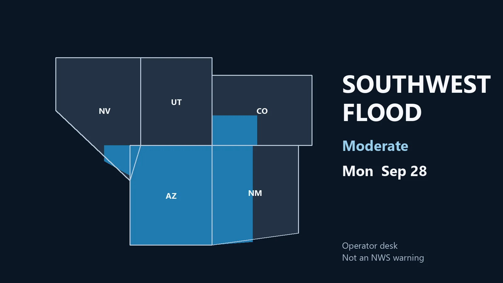
What is still live is the rain. The Weather Prediction Center short-range discussion issued at 2:52 a.m. EDT Thursday keeps a Moderate Risk of excessive rainfall over parts of the Southern Plains today. A Slight Risk covers parts of the Central Plains, the Middle Mississippi Valley, and parts of the Great Lakes. WPC language: numerous flash-flooding events are possible on the Moderate, and streams may flood, including debris flows in or near recently burned areas. The Slight is mainly localized flash flooding of urban streets, roads, and small streams. SPC’s own Day 1 text says the same thing in different words for eastern Oklahoma into north Texas, the Hill Country, and the Edwards Plateau: repetitive, locally heavy rainfall is the main concern as the rain shield shifts slowly east ahead of a surface low and cold front.
Just hit — central Kansas tornadoes
NWS Wichita has a preliminary event page for Wednesday afternoon and evening. A few low-topped supercells with very low cloud bases produced several tornadoes across Barton, Russell, and Lincoln counties ahead of a strong Plains low, in a tropical-like airmass tied in part to the remnants of Polo. Instability was not extreme. Low-level moisture was. Wichita’s summary: no significant damage or injuries reported.
SPC local storm reports for the period ending 11:59 UTC Thursday list the sequence. Storm-chaser video of a tornado 3 miles south-southwest of Ash Valley in Pawnee County at 20:49 UTC, then 1 mile southeast of Ash Valley at 20:53 UTC. Barton County followed: Olmitz at 21:52 UTC, Galatia at 21:58 UTC, several brief touchdowns west and northwest of Susank between 22:01 and 22:10 UTC, with tornado damage to some outbuildings 4 miles north-northwest of Susank. Russell County: a rope tornado 3 miles east of Bunker Hill, described as 3 miles west of Dorrance and north of I-70, at 22:51 UTC, then a spotter tornado 6 miles south of Lucas at 23:24 UTC. Lincoln County: an elephant-trunk tornado 3 miles east of Lucas at 23:39 UTC, Sylvan Grove at 23:43 and 23:53 UTC, a multi-vortex 4 miles south of Ash Grove at 00:01 UTC. A brief touchdown 2 miles southeast of Victor in Mitchell County at 00:23 UTC is the last tornado LSR on the board. NWS Wichita also issued a confirmed tornado warning for southwestern Russell and northwestern Barton counties around 4:13 p.m. CDT, with a spotter tornado south of Milberger.
Restoration read: this is a survey corridor, not a regional wind event. Outbuildings near Susank are the damage note on the filtered LSR list. Treat Barton, Russell, and Lincoln as the counties to check for roof punctures, farm structures, and tree-on-line calls. Do not staff it as a citywide loss. Photograph in daylight if it is safe. The path language from chasers and radar estimates is preliminary.
Just hit — Texas wind, and one Florida Keys note
The same LSR board has no hail reports. Wind is west and northwest Texas, mostly after dark. At least two power poles broken near the base 6 miles north-northwest of Tubbs Corner in Crane County around 20:40 UTC. A measured 58 mph gust at Clayton, New Mexico, at 22:40 UTC. One power pole and line down 1 mile northeast of Roscoe in Nolan County at 23:46 UTC. A 60 mph observer gust 24 miles south of Ozona in Crockett County at 01:06 UTC. A 64 mph gust 10 miles southwest of Paducah in Cottle County at 01:20 UTC. A 60 mph gust 4 miles south-southeast of Estelline in Hall County at 01:29 UTC. A 68 mph gust 4 miles west of Rotan in Fisher County at 02:50 UTC, the strongest measured wind on the board.
That is pole, line, and outbuilding work in the Concho Valley and Rolling Plains, consistent with Watch 676’s wind threat before it expired at midnight. Today’s SPC report page, which opens at 12:00 UTC Thursday, has no tornado, hail, or wind reports as of this desk.
One non-Plains tornado LSR sits earlier on Wednesday’s board, not in the overnight window: 16:00 UTC, 2 miles southwest of Rock Harbor in Monroe County, Florida. Preliminary highly localized damage to one residence in the Silver Shores community between Tavernier and Rock Harbor, time approximate, investigated by the emergency manager. That is a single-structure note, not a Plains-style outbreak.
Hotspot this morning — Southern Plains rain
SPC describes extensive convection from eastern Oklahoma into north Texas and southwestward into the Hill Country and Edwards Plateau, with a few stronger elements still ongoing at outlook time. The shield should keep a gradual eastward shift through the day on warm advection ahead of the surface low and cold front. Cloud cover and ongoing rain limit heating. Low-level winds are expected to weaken. Gusty winds can still occur. The severe ceiling is low. The water ceiling is not.
Wednesday’s WPC Day 1 Moderate, valid through 12 UTC Thursday, already targeted the Concho Valley, North Texas west of the Dallas–Fort Worth metroplex, the Edwards Plateau and Hill Country between San Angelo and Fort Worth, the Red River Valley, and a second Moderate from north-central Kansas through southeast Nebraska into western Iowa, including the Omaha and Des Moines corridors, with 2 to 4 inches and local amounts higher where cells trained on the warm front. Thursday’s new Moderate stays on the Southern Plains as Gulf moisture pools along the front. Cities and counties to watch for water, not for a new severe watch: San Angelo, Abilene, the Hill Country approaches to Fort Worth, southeast Oklahoma, and the Red River counties. Central Plains and western Iowa are the leftover Slight, where Wednesday night rain may already be in streets and small streams.
Restoration read: rain first. Stage extractors and drying equipment where flash-flood warnings or flooded intersections verify, especially on soils that took rain yesterday. A 58 to 68 mph gust is roof, siding, and service-drop work in the counties that already reported poles. A funnel or brief spin-up near the Kansas–Oklahoma boundary, if one occurs, is a local survey, not a second Watch 675. Do not send the Kansas tornado crew and the Texas water crew as if they are the same ticket.
Pulse table
| Region | Main threats | SPC / NWS / WPC level | Status this morning |
|---|---|---|---|
| Barton, Russell, Lincoln, Mitchell KS | Tornado path, outbuildings | Watch 675 expired 11 p.m. CDT | Just hit; no significant damage reported |
| West-central and northwest Texas | Wind, poles, lines | Watch 676 expired midnight CDT | Just hit; 68 mph Rotan |
| Eastern OK / north TX / Hill Country | Heavy rain, isolated gusts | No severe areas; WPC Moderate flood | Live rain shield |
| Southern KS / TX Panhandle / western OK | Gusty wind, small hail, funnel chance | No categorical risk | Conditional this afternoon |
| Central Plains into western Iowa | Localized flash flood | WPC Slight | Overnight water, still draining |
| U.S. mainland tropics | No landfalling cyclone | Polo remnants inland | Quiet on the coast |
What this means for restoration teams
Wind at 60 to 68 mph is roof, gutter, tree, and service-drop work, already logged in Crane, Nolan, Cottle, Hall, and Fisher counties. A tornado with no significant damage reported is still a county check: farm buildings and a few roofs can sit outside the first NWS summary. Heavy rain on a Moderate excessive-rainfall risk is wet drywall and a 24 to 48 hour mold clock if water got inside overnight. Kansas–Nebraska–Iowa water from the warm-front train is yesterday’s ticket still moving through town.
For teams on the Southern Plains: the severe watch is over. The flood risk is not. Property owners should photograph damage in daylight if it is safe, call the carrier, and start extraction the same day if water is inside. Turn around, don’t drown on low-water crossings west of Fort Worth and through the Hill Country.
What this is not
This is not a regional derecho and not a U.S. mainland hurricane landfall. National Hurricane Center products overnight included hurricane conditions in offshore waters of southwest Mexico, not a new U.S. land threat. Polo’s remnants are already in the Plains pattern. The work this morning, where it verifies, is scattered: a tornado survey in central Kansas, pole and roof calls in west Texas, and flooded intersections where the Southern Plains rain shield sits. That is the local-storm pattern this desk should staff.
Looking ahead
SPC’s Day 4–8 outlook, issued 4:00 a.m. CDT, does not flag an organized severe episode for the next several days. A large surface high dominates from the Mississippi Valley to the East Coast early next week. An isolated severe chance returns to the conversation around Tuesday from western Kansas into north-central Nebraska as a front drops southeast, then shifts toward the mid-Missouri Valley Wednesday. That is not today’s desk. WPC already flags a Slight excessive-rainfall risk on parts of the Southern Plains for Friday, and a Slight from the central Gulf Coast through the Lower Mississippi Valley into the Southern Appalachians on Saturday. Watch the afternoon Storm Tracker update rather than assuming the morning Quiet Pulse holds if a warning cluster fires on the Texas rain shield.
Sources and how to verify
Primary sources: NOAA Storm Prediction Center Day 1 Convective Outlook, 1300 UTC Thursday, October 1, 2026, and the 0100 UTC and 0600 UTC updates; SPC current watches page (no watches valid; Watch 675 and Watch 676 expired); SPC preliminary local storm reports for September 30 and October 1; NWS Wichita event summary for the September 30 central Kansas tornadoes; Weather Prediction Center short-range forecast discussion, 2:52 a.m. EDT October 1, and the Day 1 excessive-rainfall outlook covering the overnight Moderate on the Plains and Corn Belt. Prior desk: Wednesday, September 30 afternoon storm updates.
Check weather.gov for the county warning, spc.noaa.gov for the outlook, watches, and LSRs, and WPC excessive rainfall for the flood overlay.
Informational only — not an official weather warning. Follow local authorities and the National Weather Service. Turn around, don’t drown.