What happened: Memorial Day weekend (May 23-25, 2026) kicks off Everett’s outdoor recreation season. The Jetty Island ferry opens July 8 with reservations already live at portofeverett.com/JettyReservations, Forest Park’s new pickleball complex opens in June, and the Centennial Trail is in prime spring shape. Here is how to plan around the long weekend and the summer that follows.
The Silvertips are about to win the Cup. The AquaSox are climbing the standings. Wolfpack arena football is back on May 23. The new downtown stadium project keeps inching forward. Everett’s spring sports calendar is packed.
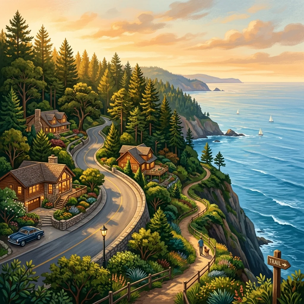
But there is another sport playing in this town nine months a year that does not get a beat reporter and does not get a hashtag and does not get a featured snippet, and that sport is going outside. Memorial Day weekend is ten days away. The summer outdoor season is about to crack open. If you treat outdoor recreation the way Everett treats it — as a sport, with seasons and stats and a calendar — here is what to circle.
1. Jetty Island Days: The Countdown Is On (55 Days)
The single most beloved free-ish outdoor experience in Snohomish County opens its 2026 ferry season on Wednesday, July 8 and runs through Sunday, September 6. That is the Tuesday after Independence Day weekend through Labor Day weekend — sixty-one days of beach access to the two-mile-long manmade island in Port Gardner Bay.
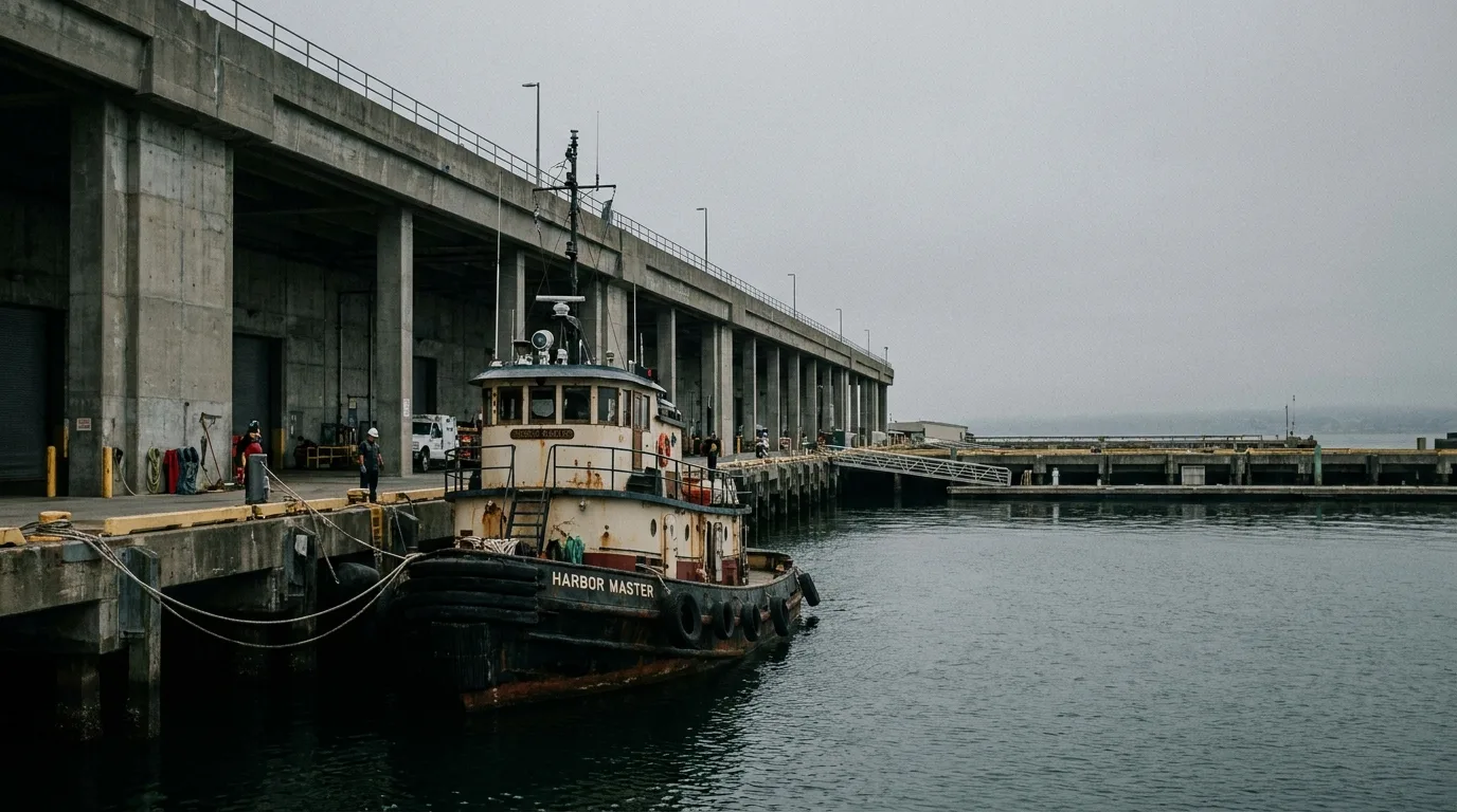
The Port of Everett confirmed in late April that ferry reservations are already open at portofeverett.com/JettyReservations. If you have done this dance before, you know: book early. The good summer slots disappear fast. The ferry departs from Jetty Landing Park off 10th Street and West Marine View Drive on the Port of Everett waterfront.
The 2026 schedule has the ferry running five days a week, 10 a.m.–5:45 p.m. Sundays, Wednesdays, and Thursdays, and 10 a.m.–6:45 p.m. Fridays and Saturdays. Roundtrip cost is $4–$7 (plus taxes/fees) per person. Kids ages 2 and under ride free but still need a reservation. You can either book a return slot in advance or pick up first-come-first-served return passes on the island.
The Memorial Day weekend itself is too early for the ferry — Jetty does not open until July 8 — but you can still walk the Port waterfront, get out on the boardwalk, and grab a coffee while the bay does what the bay does on a sunny May Saturday. Just know the countdown starts now.
2. Centennial Trail Is in Spring Form Right Now
The Snohomish County Centennial Trail is the workhorse of the Snohomish County outdoor calendar — over 30 miles of paved, mostly-flat former rail corridor running from north of Snohomish up through Lake Stevens, Arlington, and into Bryant. It is open year-round. It is wheelchair-accessible. It is the closest thing this region has to a permanent outdoor stadium that you do not need a ticket for.
Memorial Day weekend is one of the best three weekends of the year on the Centennial Trail. The salmonberry is in. The cottonwood fluff is doing its thing. The shoulder of the trail is full of Pacific Northwest spring color. If you have only ever walked one short out-and-back from a trailhead, this is the weekend to commit to a real ride or a longer hike segment.
Snohomish County Parks lists the major trailheads at snohomishcountywa.gov/1182/Trails. Before you go on any specific hike, do the responsible thing and pull a fresh trip report on wta.org from the Washington Trails Association — that is where conditions get reported in something like real time by hikers who were there yesterday.
3. Forest Park’s Pickleball Complex Opens Next Month
Pickleball is a sport. We are going to say that without irony on a sports page on an Everett site. Forest Park’s first dedicated multi-court outdoor pickleball facility opens in June 2026: four dedicated regulation courts, two renovated multi-use courts, a practice wall, sport fencing, site lighting, a drinking fountain, benches, cornhole, and horseshoes.
Construction started in November 2025. The section east of the water park has been closed during the build. By the time the long weekend rolls around, you will be able to walk around the work fence and see the project in its final stretch — and by mid-June you will be playing on it.
This is the City of Everett making a real commitment to a sport that Everett is actually playing. Drive past any park with multi-use lines on a sunny afternoon and you will see the demand. The four dedicated regulation courts means league play, tournaments, and a place to actually drop in and find a game without standing in line for a striped-over tennis court.
4. The Snohomish River Paddling Season Is Open
If you have a kayak or a paddleboard in the garage and you have been waiting for the river to settle, this is your weekend to look at it. Spring runoff in May is still pushing the Snohomish River faster than late summer, but the lower reaches near Everett and Snohomish are flat-water and accessible by Memorial Day in a normal year.
The Port of Everett’s Marina district has launch access. The North Spit launch and the Langus Riverfront Park boat ramp are both standard put-ins for kayakers running the lower Snohomish. Always check current conditions, always wear a PFD, and always tell someone where you are going and when you expect to be back.
5. The Stuff You Cannot See on a Map
The thing nobody tells you about outdoor rec in Everett is that the best stuff is often the unglamorous stuff. Walking the loop at Forest Park on a Tuesday after work. Watching the bald eagle at the Snohomish River estuary that has been there for three years. Catching a sunset off the breakwater. Running the Interurban Trail south through Mukilteo. Riding the seawall.
Memorial Day weekend gets all the marketing because it is the long weekend that starts the season. But the season is five months, not three days. Use the long weekend to set the pattern. Pick one outdoor thing you want to do every weekend through Labor Day. Put it on the calendar. Treat it like a road game schedule.
The Quick-Reference Memorial Day Weekend Plan
- Friday May 22 evening: Walk the Port of Everett waterfront. Scout the Jetty Landing ferry dock. Confirm your July reservation while you are looking at it.
- Saturday May 23: Centennial Trail morning ride or walk. Wolfpack vs Beaumont Renegades at 3 PM at Angel of the Winds Arena if you want to mix indoor and outdoor sport.
- Sunday May 24: Forest Park loop and check the pickleball complex construction progress.
- Monday May 26: Lower Snohomish River paddle or a Mukilteo waterfront walk, depending on conditions.
Frequently Asked Questions
When does the Jetty Island ferry start running in 2026?
Wednesday, July 8, 2026. The season runs through Sunday, September 6.
Can I book a Jetty Island ferry reservation now?
Yes. Reservations are open at portofeverett.com/JettyReservations.
How much does the Jetty Island ferry cost?
$4–$7 roundtrip (plus taxes and fees) per person. Children ages 2 and under ride free but still require a reservation.
What days does the Jetty ferry run?
Five days a week: Wednesdays, Thursdays, and Sundays from 10 a.m. to 5:45 p.m.; Fridays and Saturdays from 10 a.m. to 6:45 p.m.
When does Forest Park’s new pickleball complex open?
June 2026. Four dedicated regulation pickleball courts, two renovated multi-use courts, a practice wall, lighting, fencing, and amenities.
Where can I check trail conditions in Snohomish County before going hiking?
Washington Trails Association at wta.org is the go-to. The Snohomish County Parks site at snohomishcountywa.gov/1182/Trails has the full county trail directory.
How long is the Centennial Trail?
Over 30 miles of paved, mostly-flat former rail corridor through Snohomish County.
Where can I launch a kayak on the Snohomish River near Everett?
Langus Riverfront Park, the North Spit launch, and Port of Everett Marina district launches are all standard put-ins for the lower Snohomish.